


Ready to explore Loder Peak? Here's everything you need to know before you go!
Discover the trail
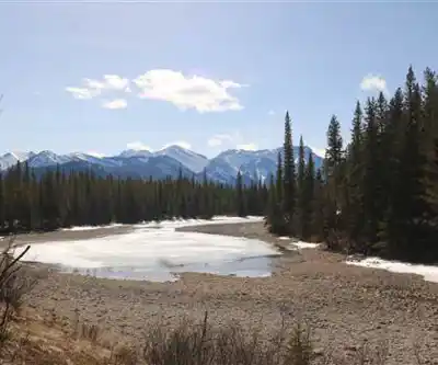
Photos: Thank you for visiting my page from Canada — CC BY 2.0 (Wikimedia Commons)
Trail description
Loder Peak tops out at 2,046 meters (6,713 feet) in Alberta North, making it one of the more rewarding summit hikes in the region. At 22 kilometers round trip with 1,400 meters of elevation gain, this is a full day on the trail — but the moderate difficulty rating means it's well within reach for hikers who are reasonably fit and comfortable with sustained climbing.
What to Expect on the Trail
The route starts in dense conifer forest, which is typical of lower elevations in this part of Alberta. The tree cover keeps things cool during warmer months and gives you a chance to find your pace before the real climbing begins. The forest floor here has that classic Rocky Mountain feel — filtered light, the smell of spruce and pine, and the kind of quiet that makes you remember why you came out here in the first place.
As you gain elevation, the forest opens up progressively into meadow sections. These transitions are some of the best moments on the hike — the views start to open, the air feels different, and you get your first real sense of the mountain terrain surrounding you. The meadows also tend to be where you'll have your best wildlife encounters, so it's worth slowing down rather than pushing straight through.
The trail is well-defined throughout, which keeps navigation simple and lets you focus on the experience rather than route-finding. That said, standard mountain conditions apply: rocky sections, roots, and the occasional muddy stretch after rain. Nothing technical, but sturdy footwear matters. The elevation gain is steady rather than brutal — 1,400 meters over 11 kilometers of ascent means you're always moving upward, but the grade is manageable and the terrain keeps changing enough to stay interesting.
Wildlife and Natural Features
The elevation range on Loder Peak means you move through distinct ecological zones on a single hike, and the wildlife reflects that variety. Deer are common in the lower and mid-elevation sections, particularly in the meadows during early morning. Higher up, mountain goats are a real possibility on the rocky terrain near the summit — they're worth watching for, and spotting one navigating steep rock with complete indifference to gravity never gets old.
Bird life shifts noticeably as you climb. Forest species dominate the lower sections, while the open alpine environment near the summit attracts a different set of birds adapted to harsher conditions. Binoculars are worth the extra weight if wildlife is a priority for you.
The vegetation tells its own story about elevation and climate. The conifer forest of the lower trail gives way to increasingly hardy alpine plants as you climb, and in summer the meadow sections can have solid wildflower displays that add real color to the landscape.
The Summit
The summit of Loder Peak delivers the kind of views that justify the effort. On a clear day, the panorama takes in a wide sweep of the Canadian Rockies — ridge after ridge extending in multiple directions, with the complex mountain geography of Alberta laid out around you. It's the kind of view where you find yourself just standing there longer than planned.
The summit area has enough room to spread out, find a rocky windbreak, and eat lunch without feeling cramped. That matters, because mountain weather can shift quickly at this elevation and having some shelter from the wind makes a real difference to how long you can comfortably stay up top. The light changes throughout the day, and the views reward time spent rather than a quick tag-and-go.
Planning Your Day
With 22 kilometers and 1,400 meters of gain, plan for a full day even if the estimated 3.5-hour time suggests otherwise — that figure likely reflects moving time only, and most hikers will want to add time for breaks, wildlife stops, and summit time. An early start is smart for multiple reasons: you avoid afternoon thunderstorms, which are common in the Alberta Rockies during summer, and you get the best light for the views.
Carry more water than you think you need. The elevation gain and mountain environment push your hydration requirements higher than a typical day hike, and running short on water on a long climb is a miserable experience. High-energy food helps sustain you through the sustained ascent, and the summit is an excellent place for a proper lunch stop.
Layering is essential. Conditions at the trailhead and conditions at 2,046 meters can be dramatically different, and mountain weather doesn't always cooperate with your schedule. Check the forecast before you go, and be genuinely prepared to turn back if conditions deteriorate — the summit will still be there on a better day.
Let someone know your plans and expected return time, especially if you're hiking solo. Cell coverage is unreliable in mountain terrain, so don't count on being able to call for help if something goes wrong. Stick to the established trail to protect the vegetation and reduce erosion, pack out everything you bring in, and give wildlife the space they need — these habits keep places like Loder Peak worth coming back to.
Recommended gear for this trail
As an Amazon Associate I earn from qualifying purchases.


Ready to go?
Everything you need to know before you goStarting Point
The loder peak trails are located in the Kananaskis Country area of Alberta. To get to the start of the trails, take the Trans-Canada Highway to the exit for Kananaskis Country. Follow the signs to the Peter Lougheed Provincial Park. The trailhead is located at the end of the park road.
When?
How much?
As an Amazon Associate I earn from qualifying purchases.
Affiliate links — LGPO may earn a commission at no extra cost to you.
- Hiking shoes Essential
- → Salomon Elixir Tour Mid WP · 203.38 $
- Layered clothing Essential
- Rain jacket Essential
- Trekking poles
- → Black Diamond Trail Ergo Cork · 69.99 $
- Headlamp
- → Petzl Actik Core 625 · 103.95 $
FAQ - Frequently asked questions
Everything you need to know
25 hikes under 2 hours from Montreal
Distance, elevation, parking and season for each one. The ones we go back to ourselves.
Get the guideSimilar hikes nearby
Discover other trails you might enjoy
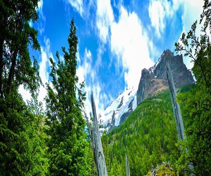
Fossil Mountain
Canadian Rockies

Snake Indian Mountain
Canadian Rockies
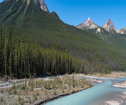
Mushroom Peak
Canadian Rockies
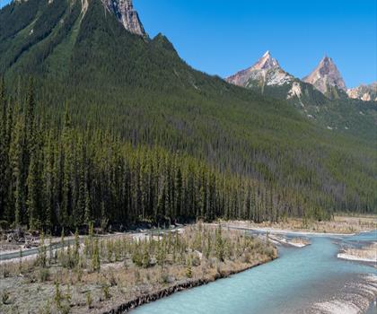
Mount Woolley
Canadian Rockies
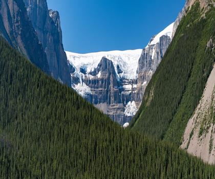
Stutfield Peak
Canadian Rockies
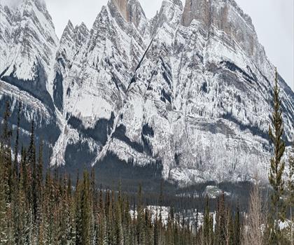
Mount Sarbach
Canadian Rockies
Hiking near Canmore
200 trails to explore ~14 km away
We work hard to provide the most up-to-date and error-free data possible. If something seems incorrect, let us know! Your contribution helps the whole community.
Hikers' opinions
Be the first to review!
No hiker has shared their experience yet. Share your impressions and help other hikers!