


Ready to explore Wind Ridge Trail? Here's everything you need to know before you go!
Discover the trail

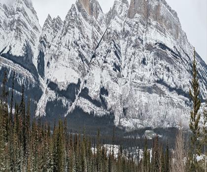
Photos: Thank you for visiting my page from Canada — CC BY 2.0 (Wikimedia Commons)
Trail description
Wind Ridge Trail cuts through some of Alberta's most rewarding mountain terrain, delivering the kind of panoramic payoff that makes the Canadian Rockies legendary among hikers. This 14-kilometer trail near Canmore strikes an ideal balance—challenging enough to feel like an accomplishment, accessible enough that most hikers with reasonable fitness can tackle it successfully.
The trail's 700-meter elevation gain unfolds gradually over the first half of the hike, winding through dense montane forest where towering spruce and fir create a cool, shaded corridor. During late spring and summer, the forest floor comes alive with wildflowers—Indian paintbrush, mountain asters, and fireweed adding splashes of red, purple, and pink to the green understory. The well-maintained path makes navigation straightforward, with clear trail markers guiding you through each section.
As you climb higher, the forest begins to thin and open, offering tantalizing glimpses of what's to come. The real reward arrives when you break through the treeline and emerge onto the ridge itself. Here, the Bow Valley spreads out below in a sweeping panorama, with the town of Canmore nestled against the dramatic backdrop of the Three Sisters peaks. On clear days, the view extends deep into the heart of the Rockies, with layer upon layer of mountain ridges fading into the distance.
Trail Experience and Terrain
The hike typically takes 4 to 6 hours to complete, depending on your pace and how long you spend soaking in the views at the top. The first 5 kilometers follow a steady but manageable grade through the forest, with the trail surface consisting mainly of packed earth and occasional rocky sections. Root systems and small stream crossings add variety to the terrain without creating major obstacles.
Once you reach the ridge, the character of the hike changes completely. The exposed alpine environment offers 360-degree views, but also means you'll be more susceptible to weather changes. Wind—as the trail's name suggests—can be significant at the ridge level, particularly during shoulder seasons. The final push to the highest viewpoints involves some light scrambling over rocky terrain, though nothing that requires technical climbing skills.
The descent follows the same route, giving you a chance to notice details you might have missed on the way up. Many hikers find the return journey through the forest particularly peaceful, with dappled sunlight filtering through the canopy and the sounds of the mountain environment—bird calls, rustling leaves, and distant water—creating a meditative atmosphere.
Wildlife and Natural Features
Wind Ridge Trail passes through prime habitat for Rocky Mountain wildlife, making animal encounters a genuine possibility throughout your hike. White-tailed and mule deer are commonly spotted in the lower forest sections, particularly during early morning or late afternoon hikes. The open meadows and rocky areas near the ridge attract hoary marmots, whose distinctive whistles often echo across the mountainside as they communicate with their colonies.
Bird life is particularly diverse along this trail. In the forest sections, watch for gray jays, mountain chickadees, and various woodpecker species. Higher up, you might spot golden eagles or red-tailed hawks riding the thermals above the ridge. During migration periods, the area can be excellent for observing various warbler species moving through the mountain corridors.
Always maintain a respectful distance from any wildlife you encounter. Carry bear spray as a precaution, though bear encounters on this particular trail are relatively uncommon due to the moderate foot traffic and open terrain near the ridge.
Seasonal Considerations and Timing
Late spring through early fall offers the most reliable hiking conditions on Wind Ridge Trail. Snow typically clears from the lower sections by mid-May, though the ridge itself may retain patches well into June. July and August provide the most stable weather, with warm days and generally clear conditions that showcase the views at their best.
Spring hiking, from late May through June, brings the reward of wildflower blooms and rushing streams fed by snowmelt. However, be prepared for muddy conditions and possible afternoon thunderstorms. Fall hiking, particularly September and early October, offers spectacular foliage colors in the lower forest and crisp, clear air that can make the mountain views exceptionally sharp.
Winter conditions make this trail unsuitable for most hikers, as snow accumulation and avalanche risk in the upper sections create serious hazards.
Access and Logistics
The trailhead sits conveniently close to Canmore, making Wind Ridge Trail an excellent choice for day trips from Calgary or extended stays in the Bow Valley. From Canmore, drive west on Highway 1A toward Dead Man's Flats, watching for the clearly marked signs directing you to the trailhead parking area. The parking lot accommodates roughly 30 vehicles, though it can fill up on popular weekend mornings during peak season.
Plan to start your hike early, particularly on weekends, to secure parking and enjoy the trail before it gets busy. The parking area includes basic facilities but no water sources, so come fully prepared with everything you'll need for the day.
Essential Preparation
Sturdy hiking boots are non-negotiable for Wind Ridge Trail, as the rocky sections and potential for loose terrain demand good ankle support and traction. Bring more water than you think you'll need—the elevation gain and exposure on the ridge can lead to faster dehydration than you might expect. Weather-appropriate clothing should include layers you can add or remove as conditions change, plus a windproof shell for the exposed ridge sections.
Check current weather forecasts and trail conditions before heading out, as mountain weather can change rapidly. Let someone know your hiking plans and expected return time. Pack out all trash and follow Leave No Trace principles to help preserve this beautiful area for future visitors.
Recommended gear for this trail
As an Amazon Associate I earn from qualifying purchases.


Ready to go?
Everything you need to know before you goStarting Point
The wind ridge trail is located in the Kananaskis Country region of Alberta. To get to the start of the trails, take the Trans-Canada Highway to the Kananaskis Village exit. From there, follow the signs to the trailhead.
When?
How much?
As an Amazon Associate I earn from qualifying purchases.
Affiliate links — LGPO may earn a commission at no extra cost to you.
- Hiking shoes Essential
- → Salomon Elixir Tour Mid WP · 203.38 $
- Layered clothing Essential
- Rain jacket Essential
- Trekking poles
- → Black Diamond Trail Ergo Cork · 69.99 $
- Headlamp
- → Petzl Actik Core 625 · 103.95 $
FAQ - Frequently asked questions
Everything you need to know
25 hikes under 2 hours from Montreal
Distance, elevation, parking and season for each one. The ones we go back to ourselves.
Get the guideSimilar hikes nearby
Discover other trails you might enjoy
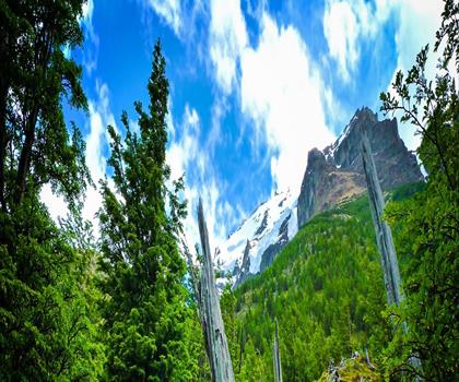
Fossil Mountain
Canadian Rockies

Snake Indian Mountain
Canadian Rockies
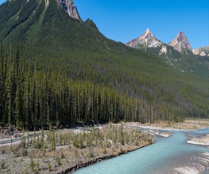
Mushroom Peak
Canadian Rockies
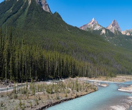
Mount Woolley
Canadian Rockies
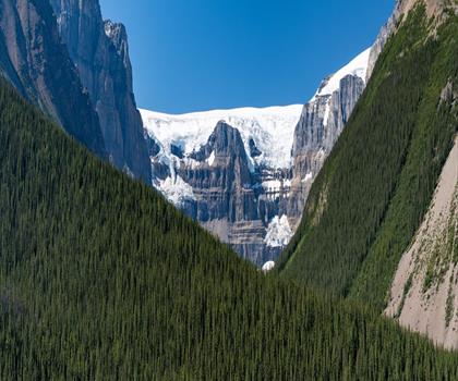
Stutfield Peak
Canadian Rockies
Mount Sarbach
Canadian Rockies
Hiking near Canmore
200 trails to explore ~9 km away
We work hard to provide the most up-to-date and error-free data possible. If something seems incorrect, let us know! Your contribution helps the whole community.
Hikers' opinions
Be the first to review!
No hiker has shared their experience yet. Share your impressions and help other hikers!