


Ready to explore Meander Trail? Here's everything you need to know before you go!
Discover the trail
Trail description
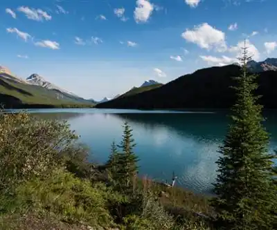
The Meander Trail winds through some of Alberta North's most pristine wilderness, offering hikers a genuine escape into untouched forest landscapes. This 15-kilometer trail lives up to its name, following a meandering route that takes you through dense coniferous forests, alongside babbling streams, and up to elevated viewpoints that showcase the region's dramatic topography.
What sets this trail apart from other Alberta North hiking destinations is its remarkable diversity of terrain packed into a single route. You'll start your journey surrounded by towering pines and spruce trees that form a natural cathedral overhead. The forest floor beneath your feet changes from soft pine needles to rocky sections, keeping the hiking experience varied and engaging throughout the entire distance.
Trail Experience and Terrain
The well-marked path guides you through several distinct environments as you progress along the route. The initial forest sections provide cool, shaded hiking with the gentle rustling of leaves and melodic bird songs creating a peaceful atmosphere. These dense woodland areas gradually open up as you gain elevation, revealing glimpses of the broader landscape beyond.
The trail's most memorable feature comes roughly halfway through your hike, where a natural clearing opens up to reveal sweeping panoramic views of the surrounding valleys and distant mountain ranges. This elevated vantage point serves as both a natural rest stop and the trail's photographic highlight, offering unobstructed views that stretch for kilometers in every direction.
Stream crossings add another dimension to the hiking experience. The trail follows and crosses several tranquil waterways, providing natural waypoints and opportunities to refill water bottles if you're carrying proper filtration equipment. These water features also create microclimates that support different plant communities, adding botanical interest to your journey.
Wildlife and Natural Features
Alberta North's diverse ecosystem comes alive along the Meander Trail. Deer are frequently spotted moving gracefully through the underbrush, particularly during early morning and late afternoon hours. Curious foxes occasionally dart across the path, while overhead, various bird species create a constantly changing soundtrack of calls and songs.
The trail showcases Alberta North's native plant communities throughout the seasons. Spring brings vibrant wildflower displays that carpet forest clearings and meadow areas. Summer offers lush green canopies and fully developed understory vegetation. Autumn transforms the landscape with brilliant foliage colors that make this one of the region's premier fall hiking destinations.
Botanically minded hikers will appreciate the variety of native species represented along the route. The changing elevations and microclimates support different plant communities, from moisture-loving species near stream areas to hardy mountain plants in the more exposed sections.
Planning Your Visit
Weather conditions can change rapidly in Alberta North, making proper preparation essential for a safe and enjoyable experience. Layer your clothing to accommodate temperature variations throughout the day, as morning starts in shaded forest areas can be significantly cooler than midday hiking in exposed sections. The elevation gain of 200 meters means you'll experience some temperature variation based on altitude as well.
Water and nutrition planning becomes crucial on this 15-kilometer route. Carry more water than you think you'll need, along with high-energy snacks to maintain your stamina throughout the longer hiking day. The halfway clearing provides an ideal picnic spot where you can refuel while enjoying those panoramic valley views.
Camera equipment deserves special consideration for this trail. The combination of wildlife viewing opportunities, scenic stream crossings, and that spectacular midpoint vista means you'll want to capture multiple aspects of the experience. Consider bringing extra batteries, as cooler forest temperatures can drain power more quickly.
Trail Etiquette and Conservation
The Meander Trail's pristine condition depends on hikers following Leave No Trace principles. Pack out all trash, including organic waste like fruit peels and nut shells that can disrupt local wildlife feeding patterns. The diverse wildlife populations you'll encounter require respectful distance – observe and photograph animals without approaching or attempting to feed them.
Trail preservation also means staying on the marked route, even when stream crossings or muddy sections might tempt you to create alternate paths. These established routes minimize environmental impact while ensuring you don't miss key trail markers or accidentally enter sensitive habitat areas.
Safety considerations include informing someone of your hiking plans before departing, particularly important given the trail's 15-kilometer length and remote forest setting. While generally safe, the wilderness location means cell phone coverage can be spotty, making pre-trip communication essential.
The Meander Trail offers both solitude seekers and group hikers an authentic Alberta North wilderness experience. Whether you're drawn by the diverse terrain, wildlife viewing opportunities, or those memorable panoramic views, this trail delivers a comprehensive sampling of what makes this region special for outdoor enthusiasts.
Recommended gear for this trail
As an Amazon Associate I earn from qualifying purchases.


Ready to go?
Everything you need to know before you goStarting Point
The meander trail is located in the town of Rocky Mountain House, Alberta. To get to the start of the trails, take Highway 11 west out of Rocky Mountain House and turn left onto Township Road 370. The trailhead is located at the end of the road.
When?
How much?
As an Amazon Associate I earn from qualifying purchases.
Affiliate links — LGPO may earn a commission at no extra cost to you.
- Hiking shoes Essential
- → Salomon Elixir Tour Mid WP · 203.38 $
- Layered clothing Essential
- Rain jacket Essential
- Trekking poles
- → Black Diamond Trail Ergo Cork · 69.99 $
- Headlamp
- → Petzl Actik Core 625 · 103.95 $
FAQ - Frequently asked questions
Everything you need to know
25 hikes under 2 hours from Montreal
Distance, elevation, parking and season for each one. The ones we go back to ourselves.
Get the guideSimilar hikes nearby
Discover other trails you might enjoy
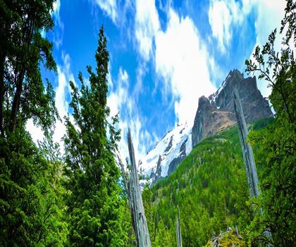
Fossil Mountain
Canadian Rockies

Snake Indian Mountain
Canadian Rockies
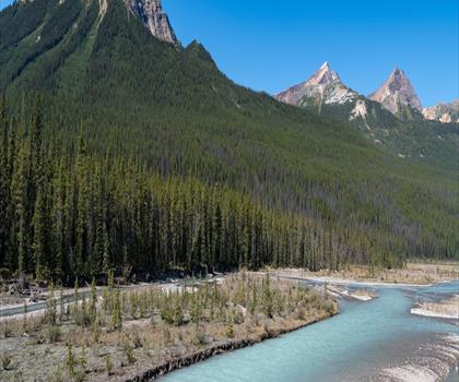
Mushroom Peak
Canadian Rockies
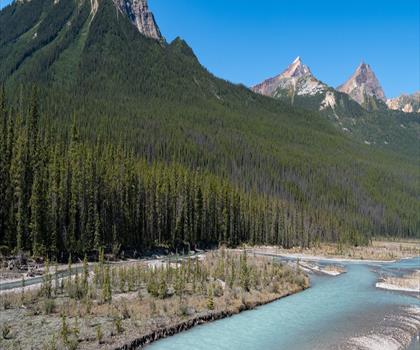
Mount Woolley
Canadian Rockies
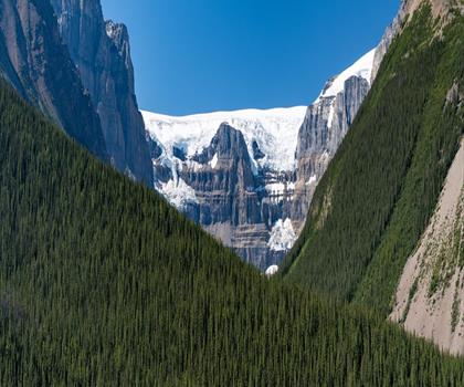
Stutfield Peak
Canadian Rockies
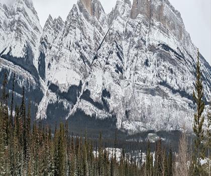
Mount Sarbach
Canadian Rockies
Hiking near Canmore
200 trails to explore ~4 km away
We work hard to provide the most up-to-date and error-free data possible. If something seems incorrect, let us know! Your contribution helps the whole community.
Hikers' opinions
Be the first to review!
No hiker has shared their experience yet. Share your impressions and help other hikers!