


Ready to explore Parc De La Gatineau? Here's everything you need to know before you go!
Discover the trail
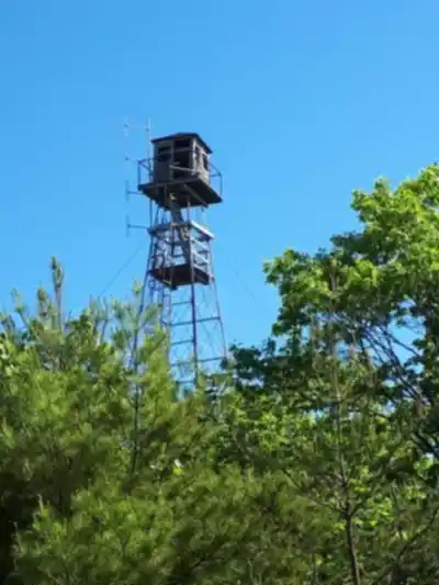
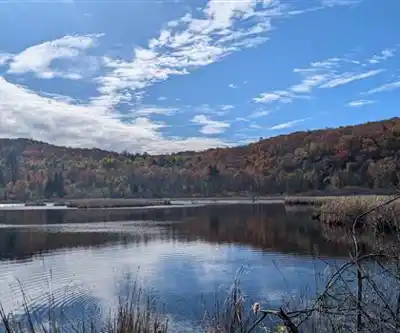
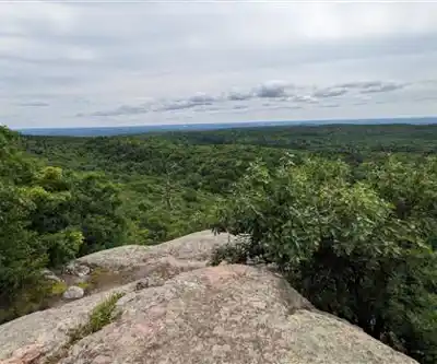
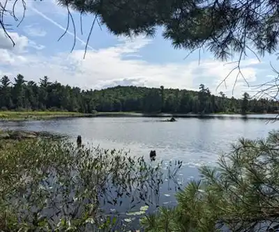
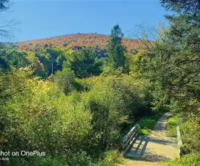
Photos: Marvella Carrasco — Google Maps (Google Maps) Gaétan Charette — Google Maps (Google Maps) Asibul Islam Anik — Google Maps (Google Maps)
Available trails
| TrailTrails | Dist.Distance | GainElevation | TimeDuration | Difficulty | GPX |
|---|---|---|---|---|---|
|
Beginner
|
6 km | 90 m | 1h30 | Beginner | |
|
Beginner
|
1.3 km | — | 17min | Beginner | |
|
Beginner
|
1.9 km | — | 25min | Beginner | |
|
Beginner
|
1.3 km | — | 17min | Beginner | |
|
Beginner
|
1 km | — | 15min | Beginner | |
|
Beginner
|
2.5 km | — | 33min | Beginner | |
|
Beginner
|
3.5 km | — | 47min | Beginner | |
|
Intermediate
|
4.5 km | 290 m | 1h30 | Intermediate | |
|
Intermediate
|
8.3 km | 218 m | 2h30 | Intermediate | |
|
Intermediate
|
2.5 km | 70 m | 40min | Intermediate | |
|
Intermediate
|
5 km | 100 m | 1h30 | Intermediate | |
|
Intermediate
|
35 km | — | 8h | Intermediate |
Trail description
Parc de la Gatineau is one of the standout outdoor destinations in the Outaouais region, especially if you want a big, wild-feeling park close enough for a simple day outing. Located in Quebec, Canada, this protected area managed by the National Capital Commission (NCC) is a place where you can choose your own pace—anything from an easy walk to a more challenging climb—while still feeling immersed in forest, rock, and wide-open viewpoints.
A massive trail network with something for everyone
The scale here is part of what makes the experience different: Gatineau Park protects 361 square kilometers of wilderness in the National Capital Region, which means your time on the trail can feel surprisingly remote even though you're not venturing deep into the backcountry. For hikers, the park's network is a major draw, with over 165 kilometers of hiking trails spread across varied landscapes throughout the Les Collines de l'Outaouais.
Practically speaking, that trail variety is what helps this park work for so many different plans. If you're visiting with mixed abilities, you can pick shorter routes for a relaxed outing. If you want a workout, you can choose a hike with more elevation and a bigger payoff at the top. The terrain shifts as you move through the park—expect wooded sections where the forest closes in, then openings where the views stretch out and remind you how big the Ottawa River Valley is.
What the hiking experience feels like
Many walks in Parc de la Gatineau have that classic Canadian Shield feel: forested trails, rocky sections underfoot in places, and natural lookout points that appear as you gain elevation. You'll spend time under a leafy canopy in warmer months, with the path weaving through lush greenery, and you'll also find sections where the landscape opens up and the light changes—great moments to pause, drink some water, and take in the scenery.
The terrain here keeps things interesting without being overly technical. You'll encounter gentle rolling hills, some steeper climbs that get your heart rate up, and plenty of flat sections where you can settle into a steady rhythm. Rocky outcrops appear throughout the park, creating natural viewpoints and adding texture to the landscape. Stream crossings and wetland areas break up the forest sections, giving you different ecosystems to move through on longer routes.
Because the park supports such a wide range of activities, it's smart to think about what kind of experience you want before you choose a trail. Are you aiming for a viewpoint? A forest walk with a waterfall as the highlight? A steady climb that earns its payoff? The trails here make it easy to match the day's energy level to a route that fits.
Two standout hikes worth prioritizing
If you're trying to narrow down where to start, two named routes stand out and give you very different experiences.
King Mountain Trail (1.9-kilometer loop) is a great pick when you want a moderate challenge without committing to a long day. The loop format makes it easy to follow, and the highlight is the reward at the top: stunning panoramic views of the Ottawa River Valley from its summit. This is the kind of trail where the climb feels purposeful—each bit of elevation brings you closer to that wide, open viewpoint. Bring a little extra water, take your time on the uphill, and plan a few minutes at the summit to enjoy the wind and the scenery before heading back down.
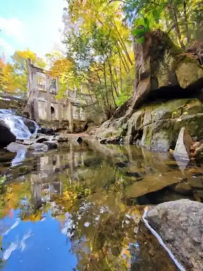
Luskville Falls Trail (4.2-kilometer trail) is the option to choose if you're craving a more "in the woods" feel. The route takes you through lush forests, and the destination is a breathtaking waterfall. It's an especially satisfying hike if you like having a clear landmark to work toward. The waterfall also makes this a natural choice for anyone who loves photos—there's something about moving water, mossy surroundings, and forest light that makes even simple shots feel special.
Notable destinations and landmarks
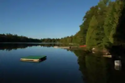
Beyond the main hiking trails, Gatineau Park is home to several iconic destinations that make it a truly special place to explore. Meech Lake offers serene waterside views and is a popular spot for both hiking and relaxation. The historic Mackenzie King Estate provides a fascinating glimpse into Canadian history, where visitors can explore the former Prime Minister's beloved retreat and its beautiful gardens.
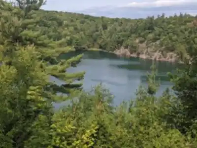
For those seeking spectacular vistas, Champlain Lookout delivers some of the most breathtaking panoramic views in the region, while Pink Lake offers a unique geological wonder with its distinctive coloration and rare ecosystem. These destinations can easily be incorporated into longer hiking adventures or visited as standalone attractions.
Wildlife encounters and forest diversity
One of the best parts of hiking in Parc de la Gatineau is that it's not just about the trail itself—you're moving through a park known for rich biodiversity. As you hike, keep your eyes open for white-tailed deer and beavers, which are both part of the park's everyday character. There's also the occasional black bear, which is a good reminder to stay alert, make your presence known on quieter sections, and give wildlife plenty of space if you do spot anything.
The forest composition changes as you move through different areas of the park. You'll walk through mixed hardwood stands dominated by maple and oak, then transition into coniferous sections where spruce and pine create a different canopy overhead. These habitat changes mean you're likely to see different bird species and plant communities as your hike progresses.
Seasonally, the park's plant life adds a lot to the experience. In spring and summer, wildflowers blanket the forest floor, bringing bright color to the shaded sections of trail. Those are the days when even a simple walk can feel layered and interesting—new leaves overhead, flowers below, and the sounds of the forest all around you.
Four-season outdoor destination
This isn't a park that shuts down when the weather changes. No matter the season, Parc de la Gatineau offers ways to get outside and stay active, remaining open year round for outdoor enthusiasts.
In winter, the park becomes a snowy wonderland and is well suited to cross-country skiing and snowshoeing. The same forests that feel shaded and cool in summer take on a quieter, more open feel when the leaves are down and the ground is covered in snow. Trails that were familiar in warm weather can feel completely different, with a calmer pace and a focus on steady movement and staying warm.
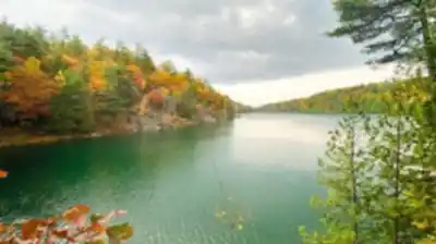
In fall, particularly in October, the park is a go-to spot for leaf season. You can witness the spectacular display of autumn foliage as the forest shifts into brilliant shades of red and gold. If you're planning a visit specifically for fall colors, build in extra time for viewpoints and pauses along the way—this is the season when people naturally stop more often to look around. March brings the transition from winter to spring, offering unique opportunities to experience the park as it awakens from its snowy slumber.
Planning your visit
Before you head out, it's worth making time to stop at one of the visitor centers located within the park. The main visitor center in Chelsea serves as an excellent starting point for your adventure. They're a practical resource when you're deciding on a route or double-checking details for the day. You can pick up maps, get trail information, and ask for tips that help you have a safe, enjoyable outing.
That quick stop can make a big difference, especially if you're choosing between multiple trails or trying something new. A map helps you understand how trails connect across the park's large area, and trail info can help you match your plan to the time and effort you want to put in that day. Whether you're visiting for a day trip or planning more time in the Outaouais region, Gatineau Park is a place where you can move through forest, chase viewpoints, and build a full season's worth of outings from the same trail network.
Services and amenities
This information may vary by season.
The Essential Hiking Checklist
Everything you need for your next hike. Bilingual, printable, 1 page.
Get your free hiking checklistRecommended gear for this trail
As an Amazon Associate I earn from qualifying purchases.


Ready to go?
Everything you need to know before you goStarting Point
To access the hiking trails, you can start at several trailheads within the area. Here are some options:
P3 Relais Plein Air: Located at 397 Boulevard de la Cité-des-Jeunes, Gatineau, QC J8Z 3P9. This parking lot provides access to various trails.
P6 Mackenzie King Estate: Situated at 75 Chemin Mackenzie King, Chelsea, QC J9B 1R5. This is another popular starting point for hikers.
P7 Kingsmere: Found at 300 Chemin du Lac-Meech, Chelsea, QC J9B 1H9. This trailhead offers access to multiple routes.
P10 Parking Lot: Located on Chemin du Lac-Meech near the intersection with Chemin de la Montagne in Chelsea, QC. It serves as a convenient entry point for several trails.
These locations provide ample parking and easy access to the network of hiking paths in the area.
When?
Tuesday: 9:00 AM – 5:00 PM
Wednesday: 9:00 AM – 5:00 PM
Thursday: 9:00 AM – 5:00 PM
Friday: 9:00 AM – 5:00 PM
Saturday: 9:00 AM – 5:00 PM
Sunday: 9:00 AM – 5:00 PM
How much?
As an Amazon Associate I earn from qualifying purchases.
Affiliate links — LGPO may earn a commission at no extra cost to you.
- Hiking shoes Essential
- → Salomon Elixir Tour Mid WP · 203.38 $
- Layered clothing Essential
- Rain jacket Essential
- Trekking poles
- → Black Diamond Trail Ergo Cork · 69.99 $
- Headlamp
- → Petzl Actik Core 625 · 103.95 $
FAQ - Frequently asked questions
Everything you need to knowSimilar hikes nearby
Discover other trails you might enjoy

Parc Des Chutes Coulonge
Outaouais

Centre Touristique Du Lac-simon
Outaouais

Parc Du Lac-beauchamp
Outaouais

Arbraska Laflèche
Outaouais

Parc Omega
Outaouais

Lac Pink
Outaouais
Hiking near Gatineau
48 trails to explore ~9 km away
We work hard to provide the most up-to-date and error-free data possible. If something seems incorrect, let us know! Your contribution helps the whole community.
Hikers' opinions
Be the first to review!
No hiker has shared their experience yet. Share your impressions and help other hikers!