

Ready to explore Parc naturel régional des Causses du Quercy? Here's everything you need to know before you go!
Discover the trail


Trail description
The Causses du Quercy Regional Nature Park covers 185,500 hectares from the north to the south of the Lot in southwest France.
The park has become a hiker's paradise for its preserved nature and peaceful environment: on foot, mountain bike, bicycle or road, hundreds of kilometers of marked routes are available to you to discover the territory. All seasons.
The Regional Natural Park of the Causses du Quercy gathers a wide variety of natural habitats: cliffs, dolines, fissures, dry grasslands, oak forests...
Small villages, resurgences with turquoise waters, caves and streams...Each trail reveals a surprising discovery.
Activities available at the park:
The Causses du Quercy are an ideal place for outdoor leisure activities, such as hiking, speleology, climbing or canoeing...
With your family, you can visit swamps, grottoes or phosphates and discover rivers, fauna and flora, villages and castles, stories and legends, prehistory and the secrets of the underground world.
Everything you need for your next hike. Bilingual, printable, 1 page.
Get your free hiking checklistReady to go?
Everything you need to know before you goWhen?
How much?
- Hiking shoes Essential
- Layered clothing Essential
- Rain jacket Essential
- Trekking poles
- Headlamp
FAQ - Frequently asked questions
Everything you need to knowOutings near Parc naturel régional des Causses du Quercy
Discover other trails you might enjoy
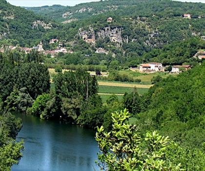
Parc naturel régional et Géoparc des Causses du Quercy
Aveyron · under 0.1 km away
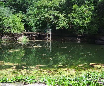
Circuit ENS entre Ouysse et Alzou
Lot · 15.8 km away
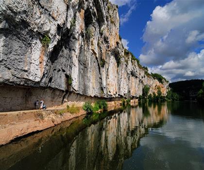
Chemin de halage de Bouziès à Saint-Cirq-Lapopie
Lot · 19.2 km away
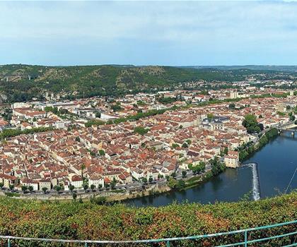
Circuit du Mont Saint-Cyr
Lot · 25.2 km away
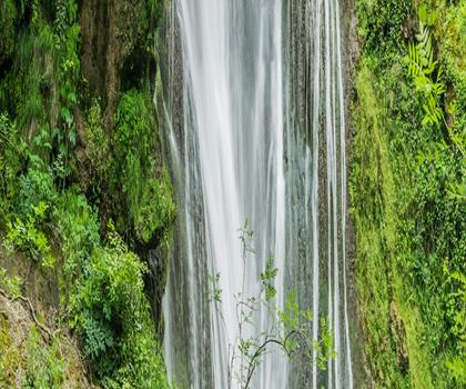
Cascade d'Autoire
Lot · 29.1 km away
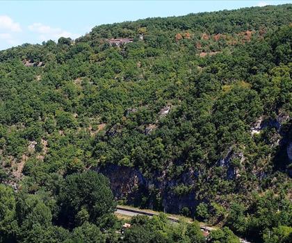
Belvedere du Cirque de Bone
Tarn-et-Garonne · 55.9 km away
Hiking near Sydney
25 trails to explore ~4713 km away
We work hard to provide the most up-to-date and error-free data possible. If something seems incorrect, let us know! Your contribution helps the whole community.
Hikers' opinions
Be the first to review!
No hiker has shared their experience yet. Share your impressions and help other hikers!