
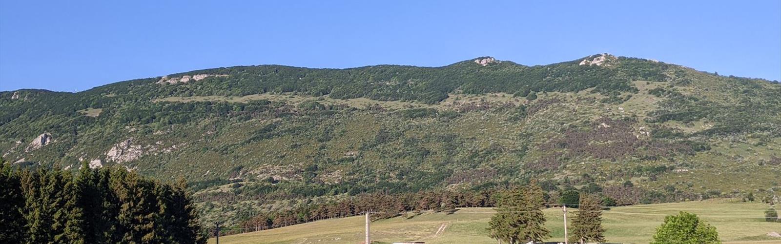
Ready to explore Canyon des Gueulards? Here's everything you need to know before you go!
Discover the trail
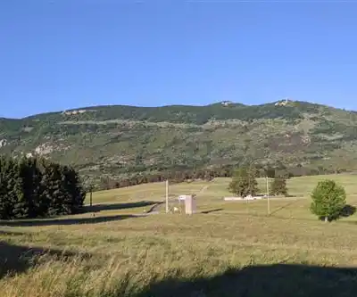
Trail description
The Canyon des Gueulards cuts a dramatic path through the limestone plateaus of the Drôme, offering one of the region's most spectacular yet accessible canyon experiences. This narrow gorge, carved over millennia by seasonal waters, creates a hidden world of sculpted rock walls, natural pools, and cool shadows that provide welcome relief during the hot Provençal summers.
The canyon's name, roughly translating to "Canyon of the Shouters," hints at the acoustic properties of its narrow walls, where voices and sounds echo dramatically between the towering limestone cliffs. These same walls, rising up to 100 meters in places, create a microclimate that supports unique vegetation and provides habitat for various bird species that nest in the rocky crevices.
The Canyon Experience
Entering the Canyon des Gueulards feels like stepping into a natural cathedral. The limestone walls, polished smooth by centuries of flash floods, display intricate patterns and colors ranging from pale cream to deep ochre. Sunlight filters down through the narrow opening above, creating shifting patterns of light and shadow on the canyon floor throughout the day.
The route through the canyon involves a combination of hiking and easy scrambling over smooth rock surfaces. During dry periods, hikers walk along the canyon bottom, following the natural drainage that carved this impressive gorge. The path winds through several distinct sections, each with its own character and geological features.
Natural pools, known locally as "gours," punctuate the canyon floor. These circular basins, carved by swirling water action, range from shallow depressions to deeper pools that may hold water year-round. The largest pools can be several meters across and provide perfect spots for rest and contemplation, though swimming is generally not recommended due to the cold water temperature and potential for sudden water level changes.
Trail Details and Navigation
The canyon entrance requires some route-finding skills, as the approach follows informal paths rather than marked trails. Local knowledge or detailed route descriptions are essential for first-time visitors. The terrain leading to the canyon mouth typically involves walking across limestone plateaus with sparse vegetation and occasional cairns marking the way.
Once within the canyon, the route becomes obvious, following the natural drainage. However, several side passages and chambers invite exploration for those with adequate time and experience. Some of these require more advanced scrambling skills and should only be attempted by confident hikers.
The return journey often follows the same route, though some variations may be possible depending on local conditions and individual comfort levels. The ascent out of the canyon requires careful attention to footing, particularly on smooth limestone surfaces that can be deceptively slippery.
Geological Highlights
The canyon showcases the classic limestone geology of the Drôme region. Hikers can observe clear stratification in the rock walls, evidence of ancient sea beds that once covered this area. Fossil enthusiasts may spot marine fossils embedded in the limestone, remnants of the Jurassic period when this region lay beneath a warm, shallow sea.
The narrow passages, some barely wide enough for a single person, demonstrate the power of water erosion. These "slots" create intimate spaces where hikers must navigate carefully, sometimes requiring brief moments of easy climbing or stemming between walls. The rock surface is generally stable and provides good grip, though it can become slippery when wet.
Flora and Fauna
The canyon's unique microclimate supports vegetation rarely found in the surrounding dry landscape. Ferns and mosses cling to the moist rock faces, while hardy shrubs and small trees find purchase in cracks and ledges. The constant shade and occasional moisture create conditions similar to those found at much higher elevations.
Birdlife includes various species that nest in the cliff faces. Ravens and jackdaws are common, their calls echoing dramatically off the canyon walls. Smaller birds, including various warbler species, inhabit the vegetation that grows in the canyon's protected environment. Hikers moving quietly may also spot lizards sunning themselves on warm rock surfaces.
Safety and Weather Considerations
Flash flooding represents the primary safety concern in the Canyon des Gueulards. Even distant rainfall can send water rushing through the narrow passages with little warning. Hikers should check weather forecasts carefully and avoid the canyon during periods of rain or when storms are predicted anywhere in the watershed.
The Canyon des Gueulards offers different experiences throughout the year. Spring brings the possibility of flowing water and lush vegetation, though this also means potential for flash flooding during heavy rains. Summer provides the most reliable conditions for exploration, with dry passages and comfortable temperatures within the shaded canyon, even when the surrounding countryside swelters.
Autumn can be particularly beautiful, as the limited deciduous vegetation within the canyon changes color, creating striking contrasts against the pale limestone. Winter visits are possible but require careful attention to weather conditions, as ice can form on rock surfaces and make passage dangerous.
Equipment and Preparation
Sturdy hiking boots with good grip are essential for navigating the smooth limestone surfaces safely. The rock can be surprisingly slippery, even when dry, due to its polished surface. Some hikers prefer approach shoes or climbing shoes for better friction on the rock.
A headlamp or flashlight proves valuable for exploring darker sections of the canyon, even during daylight hours. The narrow passages and overhanging walls can create surprisingly dark conditions. Extra batteries are recommended, as the cool, humid environment can drain power more quickly than expected.
Water requirements vary significantly with season and weather conditions. While the canyon provides welcome shade during hot weather, the approach across exposed limestone plateaus can be demanding. Carrying more water than seems necessary is always wise, particularly given the potential for route-finding delays on the approach.
A basic first aid kit takes on added importance in the canyon environment, where evacuation could be complicated by the narrow passages and remote location. Include items for treating cuts and scrapes, which are more likely when scrambling over rock surfaces.
Everything you need for your next hike. Bilingual, printable, 1 page.
Get your free hiking checklistReady to go?
Everything you need to know before you goWhen?
- Hiking shoes Essential
- Layered clothing Essential
- Rain jacket Essential
- Trekking poles
- Headlamp
FAQ - Frequently asked questions
Everything you need to knowOutings near Canyon des Gueulards
Discover other trails you might enjoy
Chute de la Druise Cascade
Drôme · 3.7 km away
Parc naturel régional du Vercors
Drôme · 43.3 km away
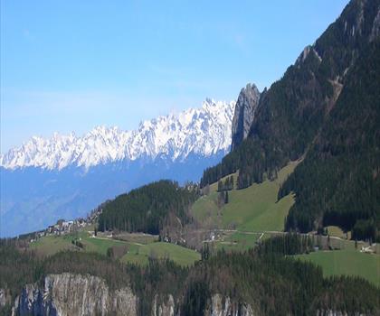
Gorges du Furon
Isère · 45.8 km away
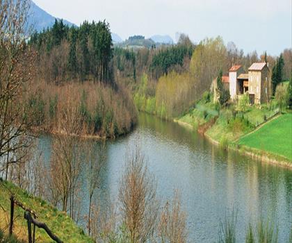
Lac des Meinettes
Ardèche · 47.8 km away
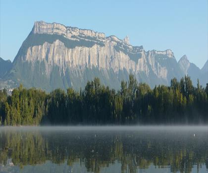
Lac Taillat
Isère · 60.4 km away
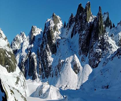
Cascade de l’Oursière
Isère · 65.3 km away
Hiking near Sydney
25 trails to explore ~4962 km away
We work hard to provide the most up-to-date and error-free data possible. If something seems incorrect, let us know! Your contribution helps the whole community.
Hikers' opinions
Be the first to review!
No hiker has shared their experience yet. Share your impressions and help other hikers!