

Ready to explore Lac de Devesset? Here's everything you need to know before you go!
Discover the trail


Trail description
The Grand Tour du Lac de Devesset offers one of the most rewarding hiking experiences in the Ardèche region, combining stunning lake views with diverse mountain terrain at over 3,300 feet elevation. This loop trail takes you completely around Lake Devesset, a pristine mountain lake surrounded by dense forest that creates a natural sanctuary for both wildlife and outdoor enthusiasts.
The trail spans approximately 10 kilometers through varied terrain that showcases the best of the Haute-Loire landscape. You'll traverse forest paths, open meadows, and rocky outcrops while maintaining views of the lake's crystal-clear waters below. The route climbs to its highest point at 1,170 meters (3,839 feet), where the panoramic views extend far beyond the immediate lake basin to include some of France's most recognizable peaks.
From the trail's summit, hikers are rewarded with unobstructed views of Mont-Blanc on clear days, along with closer regional landmarks like the Mézenc massif and the distinctive Gerbier de Jonc. The Saint-Agrève plateau spreads out below, creating a tapestry of agricultural land and forest that demonstrates the region's diverse geography. These elevated viewpoints make the moderate climb worthwhile and provide excellent photo opportunities throughout the day.
Trail Experience and Terrain
The Grand Tour du Lac de Devesset follows well-maintained paths that wind through mixed forest dominated by pine, fir, and deciduous trees. The trail surface varies from packed earth to rocky sections, with some areas featuring wooden boardwalks over wetland areas near the lake shore. The loop design means you'll experience different perspectives of the lake and surrounding mountains throughout your hike, with each section offering unique vantage points.
The forest environment creates a cool, shaded hiking experience during summer months, making this an ideal warm-weather destination. The dense canopy provides natural air conditioning while filtering sunlight to create dramatic lighting effects on the forest floor. As you circle the lake, you'll encounter several small streams and seasonal waterfalls that feed into the main body of water.
Wildlife enthusiasts will find this trail particularly rewarding, as Lake Devesset serves as an important habitat for numerous bird species. The combination of water, forest, and meadow environments attracts both resident and migratory birds throughout the year. Patient observers may spot various waterfowl on the lake surface, while the surrounding forest hosts songbirds and raptors. The area also supports a beaver population, and evidence of their activity can be observed along certain sections of the shoreline.
Points of Interest Along the Route
Several notable stops enhance the hiking experience beyond the natural scenery. The local Sailing School operates on the lake during warmer months, adding a touch of human activity to the wilderness setting. This facility also serves as a useful landmark for navigation and provides restroom facilities for hikers.
The designated beaver habitat area offers an educational component to your hike, with interpretive information about these ecosystem engineers and their impact on the local environment. Look for beaver dams, chewed tree stumps, and other signs of their presence along the water's edge. Early morning or evening hikers have the best chances of spotting these elusive animals.
A botanical trail intersects with portions of the main loop, providing opportunities to learn about the region's native plant species. This self-guided educational component highlights the diverse flora that thrives in the mountain lake ecosystem, from aquatic plants near the shore to alpine species at higher elevations.
For those needing refreshments, a snack bar operates seasonally, offering a convenient rest stop roughly halfway through the circuit. This facility provides basic food and beverages, making it possible to tackle the full loop without carrying extensive provisions.
Practical Hiking Information
The complete circuit requires approximately three hours for most hikers, though this timeframe can vary significantly based on your pace, photography stops, and time spent at points of interest. The trail's moderate difficulty level makes it accessible to families with older children and hikers with basic fitness levels, though the 10-kilometer distance and elevation changes require reasonable endurance.
Summer represents the optimal season for this hike, when weather conditions are most stable and all facilities remain open. The higher elevation means temperatures stay comfortable even during hot weather, while the forest canopy provides additional cooling. However, the trail remains accessible during spring and fall, offering different seasonal perspectives on the landscape.
The loop format provides flexibility in planning your route and timing. You can start from several access points around the lake, allowing you to customize your experience based on available parking or desired difficulty progression. Most hikers prefer to tackle the steeper sections early in the day when energy levels are highest.
Lake Devesset's location in the Ardèche region places it within easy reach of other notable hiking destinations, making it an excellent component of a multi-day outdoor adventure. The area's well-developed trail network connects to numerous other routes for those seeking to extend their mountain experience beyond the lake circuit.
Everything you need for your next hike. Bilingual, printable, 1 page.
Get your free hiking checklistReady to go?
Everything you need to know before you goStarting Point
The IGN route of the grand tour of the Devesset lake shows a low point (at its departure) at 1038 m with positive (143m) and negative (139m) differences in altitude. To help you find your way, you can follow the markings with yellow but also white and red lines (going from the commandery to the D9).
Thus, note that the starting point of the great tour of the lake of Devesset is just at the level of a panel named " info rando ". It is installed near a multiservices of the village Devesset. You will then just have to follow the arrow and extend the path to 200 m to start your hike in Ardeche.
When?
- Hiking shoes Essential
- Layered clothing Essential
- Rain jacket Essential
- Trekking poles
- Headlamp
FAQ - Frequently asked questions
Everything you need to knowOutings near Lac de Devesset
Discover other trails you might enjoy
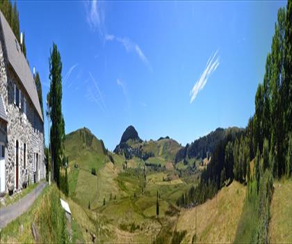
Lac de St Front
Haute-Loire · 19.1 km away
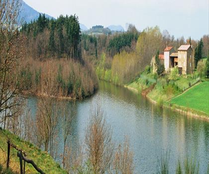
Lac des Meinettes
Ardèche · 28.8 km away
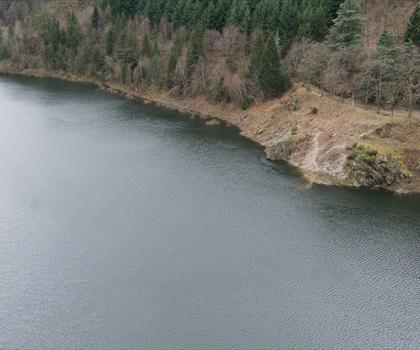
Barrage du Gouffre d'Enfer
Loire · 38.1 km away

Tétines de Vernon
Ardèche · 61.7 km away
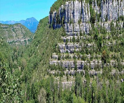
Le Cirque de Gens
Ardèche · 63.7 km away
Canyon des Gueulards
Drôme · 66.7 km away
Hiking near Sydney
25 trails to explore ~4896 km away
We work hard to provide the most up-to-date and error-free data possible. If something seems incorrect, let us know! Your contribution helps the whole community.
Hikers' opinions
Be the first to review!
No hiker has shared their experience yet. Share your impressions and help other hikers!