

Ready to explore Lac Anna? Here's everything you need to know before you go!
Discover the trail
Oh no! We don't have any photos 😢
This trail hasn't been captured yet. Be the first to share your adventure!Trail description
Lac Anna sits quietly in the Bas-Saint-Laurent region, offering the kind of hiking experience that feels both accessible and rewarding without demanding too much from your day. This is a place where crystal-clear water meets well-maintained forest trails, creating an environment that works whether you're looking for a gentle lakeside stroll or a more substantial hike with elevated viewpoints.
Trail system and terrain
The trail network around Lac Anna covers 12.2 km with 200 m of elevation gain and typically takes around 3.5 hours to complete. What makes this route appealing is the consistent, manageable terrain—you're not dealing with scrambles, exposed sections, or tricky navigation. The paths are well-kept and clearly marked, making route-finding straightforward even for hikers who prefer not to fuss with maps and compass work.
The terrain itself moves between two main environments: forested sections under a canopy of mixed trees and maple groves, and more open stretches along the shoreline where the lake dominates the view. This rhythm keeps the hiking interesting without creating dramatic shifts in difficulty. You'll encounter gentle rises and descents rather than steep climbs, and the footing remains solid throughout most of the trail system.
The lakeside experience
The defining characteristic of hiking at Lac Anna is the water itself. The lake's crystal-clear surface acts like a natural mirror, reflecting the surrounding forest so clearly that the boundary between landscape and reflection often blurs. On calm days, this creates some of the most photogenic moments you'll find in the region—colors appear more vivid, and the sense of space feels amplified by the doubling effect of the reflections.
As you move along the shoreline sections, you'll find natural stopping points where the view opens up or where the angle of light on the water shifts dramatically. These aren't formal viewpoints with benches or signs, but rather organic pauses that the landscape seems to suggest. The combination of clear water and the lush green surroundings gives these moments a particularly restful quality that encourages lingering.
Forest sections and canopy hiking
When the trail moves away from the immediate shoreline, you enter sections of mixed forest and maple groves that provide a different but equally engaging hiking experience. The canopy creates natural shade and a sense of enclosure that contrasts nicely with the open feeling of the lakeside portions. Here, the focus shifts from expansive water views to the more intimate details of forest hiking—the play of light through leaves, the texture of bark and undergrowth, and the layered sounds of a healthy woodland ecosystem.
These forested sections contain modest elevation gain, though the climbs remain gentle and well-graded. As you gain height, occasional breaks in the canopy provide glimpses back toward the lake, creating anticipation for the viewpoints that await at higher elevations.
Wildlife and natural observations
Wildlife watching at Lac Anna tends to be subtle but consistent. Squirrels are regular trail companions, often more curious than skittish, and you'll frequently hear them moving through the trees even when they're not visible. Bird activity is steady throughout the day, with calls carrying clearly over the water and through the forest sections. The area is known for Great Woodpecker sightings, which are particularly valuable for birdwatchers.
White-tailed deer sightings happen regularly enough to be worth watching for, though they typically occur at the edges of clearings or in the transition zones between forest and shoreline. These encounters usually unfold quietly—a movement in your peripheral vision, a brief moment of mutual observation, then a graceful retreat into deeper cover. The key to wildlife observation here is maintaining a relaxed pace and keeping noise to a minimum during the quieter forest sections.
Seasonal character and timing
The experience at Lac Anna shifts noticeably with the seasons, though the fundamental appeal—clear water, well-maintained trails, and peaceful forest hiking—remains consistent. The reflective quality of the lake means that seasonal changes in the surrounding vegetation show up dramatically in the water, effectively doubling the visual impact of autumn colors or the fresh greens of spring growth.
The well-maintained nature of the path system means that even after rain, most sections remain hikeable without specialized gear.
Planning and practical considerations
Lac Anna is easily accessible from various points within Bas-Saint-Laurent, making it a practical choice for both day trips and longer outdoor itineraries. The straightforward access means you can focus your planning on the hiking experience itself rather than complicated logistics or special permits.
For gear, the recommendations are refreshingly simple: hiking boots for comfort and traction on varied terrain, a camera to capture the lake's reflective moments and forest details, and picnic supplies if you want to take advantage of the many natural rest spots along the route. The combination of accessible terrain and multiple stopping points makes this an ideal location for carrying a bit extra—whether that's photography equipment, a substantial lunch, or just extra water for a more leisurely pace.
What sets this hike apart
What distinguishes Lac Anna from other hiking options in the Bas-Saint-Laurent region is the balance it strikes between accessibility and genuine natural beauty. You don't need to be an experienced hiker to enjoy everything this location offers, but the scenery and wildlife opportunities are substantial enough to satisfy more seasoned outdoor enthusiasts.
The lake's crystal-clear water and the quality of the reflections create photo opportunities that feel almost effortless, while the forest sections provide the kind of peaceful, immersive hiking that makes you forget about the outside world. It's a place that rewards both active hiking and contemplative pauses, making it suitable for solo adventures, family outings, or group hikes with varying fitness levels.
Trail experience tips
- Plan for a relaxed pace: The natural stopping points and scenic moments work best when you're not rushing to complete the distance.
- Bring extra water: The peaceful atmosphere encourages longer breaks, and staying hydrated makes the experience more enjoyable.
- Keep your camera accessible: The interplay of light, water, and forest changes throughout the day, creating unexpected photographic moments.
- Watch for wildlife at transition zones: The edges between forest and shoreline are where deer and other animals most commonly appear.
- Consider the picnic option: Multiple scenic spots along the route make carrying lunch worthwhile, especially for groups or family hikes.
Recommended gear for this trail


Ready to go?
Everything you need to know before you goStarting Point
To access the hiking trails, head towards the designated parking area located at 300 Chemin du lac anna, Saint-Gabriel-de-Rimouski, Quebec. This is the primary trailhead for starting your hike.
When?
How much?
- Hiking shoes Essential
- → Salomon Elixir Tour Mid WP · 203.38 $
- Layered clothing Essential
- Rain jacket Essential
- Trekking poles
- → Black Diamond Trail Ergo Cork · 69.99 $
- Headlamp
- → Petzl Actik Core 625 · 103.95 $
FAQ - Frequently asked questions
Everything you need to knowThe Essential Hiking Checklist
Everything you need for your next hike. Bilingual, printable, 1 page.
Download the free checklistSimilar hikes nearby
Discover other trails you might enjoy
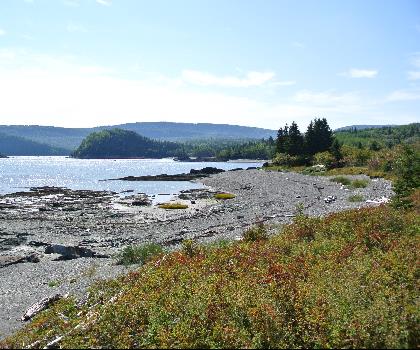
Parc National Du Bic
Bas-Saint-Laurent
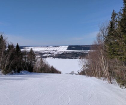
Parc du Mont-Saint-Mathieu
Bas-Saint-Laurent
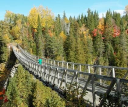
Canyon Des Portes De L'enfer
Bas-Saint-Laurent

Beausejour Park
Bas-Saint-Laurent
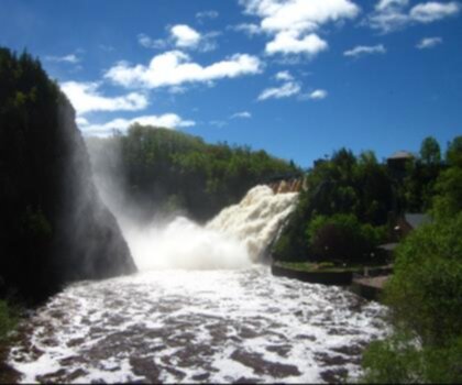
Parc Des Chutes
Bas-Saint-Laurent

Sentier du Cabouron de Saint-Germain
Bas-Saint-Laurent
Hiking near Quebec City
40 trails to explore ~214 km away
We work hard to provide the most up-to-date and error-free data possible. If something seems incorrect, let us know! Your contribution helps the whole community.
Hikers' opinions