
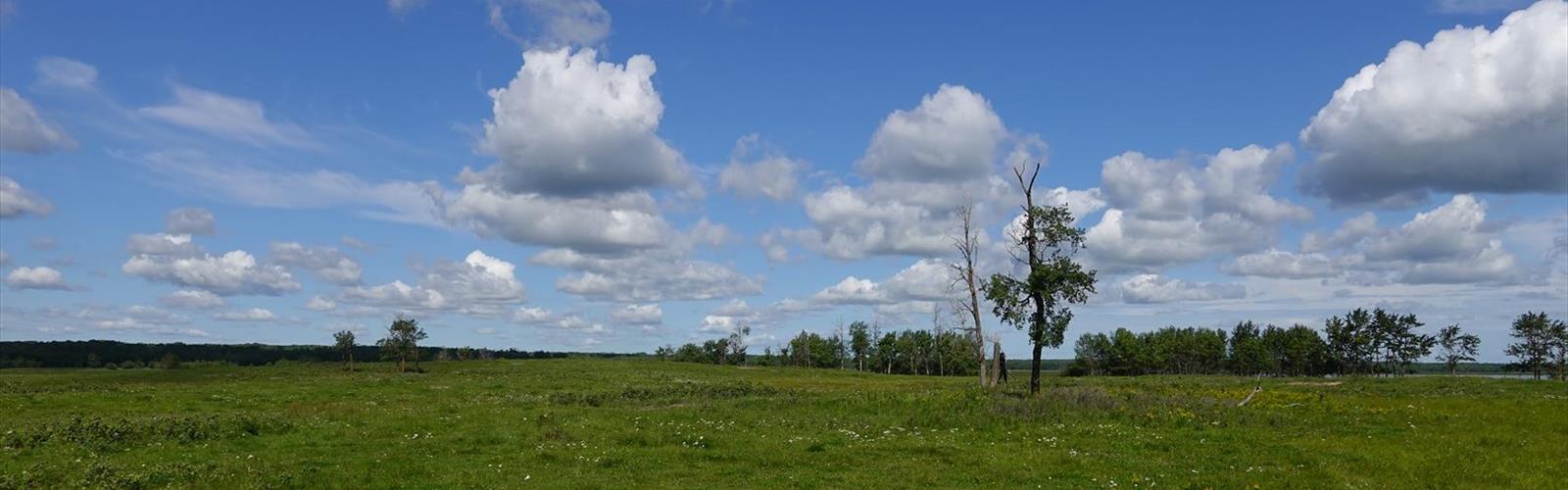

Ready to explore Cavell Meadows, Jasper National Park, Alberta? Here's everything you need to know before you go!
Discover the trail
Trail description
The Cavell Meadows Trail offers one of the most spectacular alpine experiences in Jasper National Park, combining wildflower meadows, glacier views, and dramatic mountain scenery in a challenging but rewarding 8-kilometer hike. Located beneath the towering north face of Mount Edith Cavell, this trail takes you through some of the most pristine alpine terrain in the Canadian Rockies, where subalpine meadows burst with color during the brief mountain summer.
The trail begins at the Edith Cavell parking area and initially follows the easier Glacier Trail before branching off into more demanding terrain. What starts as a gentle walk quickly transforms into a steep, challenging climb through several distinct ecosystems. You'll ascend through dense subalpine forest before emerging into the open meadows that give this trail its name. The path features multiple steep climbs and follows a loop route that provides constantly changing perspectives of the surrounding peaks and glaciers.
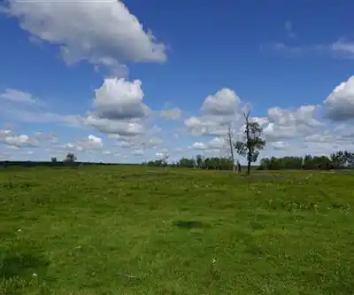
During the peak wildflower season from mid-July to mid-August, the meadows explode with color as alpine flowers take advantage of the short growing season. The specific flora of the Rockies creates a carpet of blooms against the backdrop of imposing mountain walls and glacial ice. The contrast between the delicate wildflowers and the harsh, dramatic landscape of Mount Edith Cavell creates some of the most photographable scenery in the Canadian Rockies.
Trail Difficulty and Physical Requirements
This trail demands good physical fitness and mental preparation. While the 8-kilometer distance might seem manageable, the steep terrain and significant elevation changes make this a challenging hike that typically takes around 3 hours to complete, not including time for rest stops and photography. The path includes several very steep sections that require careful footing and steady nerves.
The trail surface varies from well-maintained paths to rocky, uneven terrain. Non-slip hiking boots are essential to avoid slipping on steep sections and loose rock. Even experienced hikers should approach the steepest climbs with caution, as the combination of altitude and grade can be demanding. The loop format means you'll encounter different challenges throughout the hike, with some sections requiring scrambling over rocky terrain.
Seasonal Access and Timing
The Cavell Meadows Trail operates on a limited seasonal schedule due to harsh mountain conditions. Edith Cavell Road typically opens in June and closes at the end of September or early October, depending on snowfall. The trail itself is only suitable for hiking during the summer months when the path is dry and safe for foot traffic.
For the best wildflower displays, plan your visit between mid-July and mid-August when the alpine blooms are at their peak. This timing also offers the most stable weather conditions and the longest daylight hours for your hike. Early season visits may encounter snow patches and muddy conditions, while late season hikes risk early snowfall and rapidly changing weather.
Getting There
Reaching the trailhead requires careful driving on a challenging mountain road. From Jasper, head south on the Icefields Parkway (Highway 93), then turn right onto Highway 93A and follow it for 5.5 kilometers. Turn right again onto Edith Cavell Road for the final 15-kilometer drive to the parking area at the end of the road.
Edith Cavell Road demands your full attention and cautious driving. The narrow, winding route is full of potholes and features steep grades with tight switchbacks. Drive slowly and be prepared for two-way traffic on sections barely wide enough for one vehicle. The road climbs nearly 14 kilometers of steep terrain before reaching the parking area, so ensure your vehicle is in good condition before attempting the drive.
Current Access Restrictions
The trail is currently closed due to construction work on Edith Cavell infrastructure. During construction periods, public access to Cavell Meadows is prohibited as visitor presence would interfere with two-way truck traffic and heavy equipment operations. Both the day use area and the Edith Cavell parking lot remain closed during construction phases.
When the main trail is inaccessible, visitors can still experience part of the area by hiking the Glacier Trail from the Edith Cavell parking area when it's open. This simpler trail provides an ideal introduction to hiking in the area and leads to Cavell Glacier Lake, offering glacier views without the demanding terrain of the meadows trail.
Trail Regulations and Preparation
Dogs and other pets are not permitted on the Cavell Meadows Trail. This restriction helps protect the sensitive alpine environment and prevents conflicts with other hikers on the narrow, challenging path sections. The policy also reduces the risk of wildlife encounters that could be dangerous for both pets and their owners.
Essential gear for this hike includes plenty of water, sun protection including a hat, snacks or a light meal, and a camera to capture the spectacular scenery. Weather can change rapidly in alpine environments, so bring layers including a warm jacket even on sunny days. The exposed nature of much of the trail means sun protection is crucial, as UV exposure increases significantly at higher elevations.
Before attempting this trail, honestly assess your hiking experience and fitness level. If you've successfully completed other intermediate trails in Jasper, you'll be better prepared for the challenges of Cavell Meadows. The combination of steep terrain, potential altitude effects, and changeable mountain weather makes this hike unsuitable for beginners or those without proper preparation and equipment.
The Essential Hiking Checklist
Everything you need for your next hike. Bilingual, printable, 1 page.
Get your free hiking checklistRecommended gear for this trail
As an Amazon Associate I earn from qualifying purchases.


Ready to go?
Everything you need to know before you goStarting Point
To reach the trailhead for the hiking trails, head towards Jasper National Park in Alberta. From the town of Jasper, drive south on Highway 93 (Icefields Parkway) for approximately 7 kilometers. Then, turn right onto Highway 93A and continue for about 5 kilometers. Look for the sign indicating Cavell Road and turn left. Follow Cavell Road for around 14 kilometers until you reach the parking lot at the end of the road. This is where you'll find the trailhead for your hike. Note that Cavell Road is typically open from mid-June to mid-October, depending on weather conditions.
When?
How much?
As an Amazon Associate I earn from qualifying purchases.
Affiliate links — LGPO may earn a commission at no extra cost to you.
- Hiking shoes Essential
- → Salomon Elixir Tour Mid WP · 203.38 $
- Layered clothing Essential
- Rain jacket Essential
- Trekking poles
- → Black Diamond Trail Ergo Cork · 69.99 $
- Headlamp
- → Petzl Actik Core 625 · 103.95 $
FAQ - Frequently asked questions
Everything you need to knowSimilar hikes nearby
Discover other trails you might enjoy
Fossil Mountain
Canadian Rockies

Snake Indian Mountain
Canadian Rockies
Mushroom Peak
Canadian Rockies
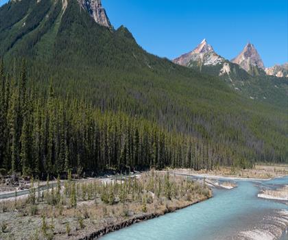
Mount Woolley
Canadian Rockies
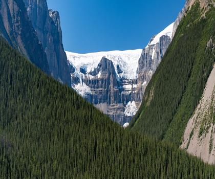
Stutfield Peak
Canadian Rockies
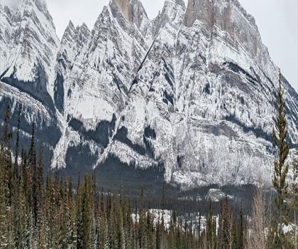
Mount Sarbach
Canadian Rockies
Hiking near Jasper
82 trails to explore ~21 km away
We work hard to provide the most up-to-date and error-free data possible. If something seems incorrect, let us know! Your contribution helps the whole community.
Hikers' opinions
Be the first to review!
No hiker has shared their experience yet. Share your impressions and help other hikers!