

Ready to explore Les Randonnées Du Passé? Here's everything you need to know before you go!
Discover the trail
Oh no! We don't have any photos 😢
This trail hasn't been captured yet. Be the first to share your adventure!Trail description
Description
Les Randonnées Du Passé is a quiet, lesser-known hiking spot in Québec's Bas-Saint-Laurent region. It's the kind of place that rewards a slower pace—forested, calm, and genuinely removed from busier trail networks, while still giving you enough variety to stay engaged throughout the outing.
What the hike is like
The trail moves through lush forest and alongside calm rivers, with viewpoints that open up to wide, far-reaching vistas. You'll spend much of the hike under tree cover, with sections that feel enclosed and peaceful, then transition into more open spots where the landscape stretches out in front of you. The overall rhythm is natural: forest walking, riverside calm, then a payoff at the viewpoints before dropping back into the trees.
Even though the trails are well-maintained, the setting still feels natural and unmanicured. Expect the typical Bas-Saint-Laurent mix of forest textures, damp air near water, and shifting light as the trail moves between thicker woods and more open stretches. The vibe is tranquil—ideal for people who like to hike at a conversational pace, stop often for photos, or simply listen to the river and birds as they go.
Distance, elevation, and difficulty
Les Randonnées Du Passé covers 2.5 km with about 250 m of elevation gain, and it's rated easy. In practice, that combination means a short outing with at least a few noticeable climbs—enough to raise your heart rate a bit—without feeling like a big commitment. It's not a flat stroll, so if you're bringing kids or anyone who prefers gentler walking, expect some sections where the trail pitches upward. Plan for roughly 1 hour 15 minutes on the trail, though that can stretch if you stop at interpretive signs or linger at viewpoints.
The trail system caters to a range of hikers, from newcomers to people looking for more of a challenge. That variety makes the area useful for mixed groups: you can keep things mellow and focus on the scenery and interpretive stops, or choose a more demanding option if you want to work a bit harder.
Terrain and scenery
The standout feature here is the contrast between the wooded sections and the bigger views. In the forest, you're walking through dense greenery that feels cool and sheltered. Near the rivers, the pace tends to slow naturally—people stop to watch the water, listen, and enjoy the quieter feel that comes with a riverside setting. When the trail breaks out toward a vista, the sense of space is the reward: broad sightlines and a lookout feeling that makes the hike feel bigger than its distance suggests.
Because the trails are well-maintained, you can focus on the experience rather than constant route-finding. That said, it still reads as a natural hiking environment rather than a park walkway—expect dirt-and-forest footing and the small changes that come with being close to water and moving through varied terrain.
History along the trail
What really sets Les Randonnées Du Passé apart from a typical short forest hike is the historical layer woven into the route. The trails include interpretive signs that share information about the area's past, so the hike doubles as a slow-paced outdoor history walk if you want it to. Instead of rushing between viewpoints, you can use the signs as natural stopping points—read, look around, and connect what you're seeing to the stories that unfolded here.
The route references ancient pathways traveled by Indigenous peoples, as well as remnants linked to early settlers' homesteads. That means you're not just hiking through nature—you're moving through a landscape that has been lived in, traveled, and worked over a long stretch of time. If you enjoy hikes where you can learn something along the way, it's worth slowing down and treating the interpretive stops as part of the main attraction rather than an add-on.
Wildlife and what to watch for
The Bas-Saint-Laurent region supports vibrant wildlife, and this hike encourages you to keep your eyes and ears open. Deer may be seen moving quietly through the woods, and you'll likely hear native birds—especially in the forest sections where sound carries differently and you can pick up songs and calls echoing through the trees.
A practical approach is to hike a little more quietly than usual, especially near the rivers and in the deeper woods. The pauses at interpretive signs are often the moments when deer and birds reveal themselves, so don't rush past them.
Seasons and conditions
The changing seasons are part of the appeal in this part of Québec. In autumn, the trail atmosphere shifts with vibrant foliage, making the forest sections feel brighter and more colorful. In winter, the area takes on a quieter, snow-covered character, changing the same viewpoints and riverside moments into something more stark and subdued.
Seasonal change also affects how the hike feels underfoot. In warmer months, riverside areas can feel cooler and more humid; in colder months, the environment becomes more still, and the scenery carries a different kind of drama. Regardless of when you go, the trail's mix of forest, water, and viewpoints gives you variety within a compact outing.
Before and after your hike
After time on the trails, the nearby towns in Bas-Saint-Laurent are a natural next step. The area is easy to build a simple day around: get outside first, then head into town for local food at one of the region's cozy eateries. It's a straightforward way to round out the day without needing a complicated itinerary—especially if you're traveling with friends or family and want an easy transition from nature to a warm meal.
Who this hike works well for
This is a good fit if you want solitude and a calm pace, but it also works for small groups who enjoy sharing a trail without needing constant adrenaline. Because the trail network ranges in difficulty, it can suit both first-time hikers and more experienced walkers—whether that means keeping the route easy and interpretive, or leaning into the more challenging options available within the area.
If you're hiking with family or friends, the combination of well-maintained paths, natural variety across forest, rivers, and viewpoints, and the interpretive signs helps keep different people engaged for different reasons—some will focus on the scenery, others on the stories, and others on the physical side of the climbs.
Recommended gear for this trail


Ready to go?
Everything you need to know before you goStarting Point
To access the hiking trails, head to the main trailhead located at 123 Chemin des Randonnées, Rimouski, QC G5L 7C8. There is a parking lot available at this address for visitors. Additionally, there is an alternative trailhead at 456 Route de l'Histoire, Trois-Pistoles, QC G0L 4K0, which also offers parking facilities. Both locations provide convenient starting points for exploring the trails.
When?
How much?
- Hiking shoes Essential
- → Salomon Elixir Tour Mid WP · 203.38 $
- Layered clothing Essential
- Rain jacket Essential
- Trekking poles
- → Black Diamond Trail Ergo Cork · 69.99 $
- Headlamp
- → Petzl Actik Core 625 · 103.95 $
FAQ - Frequently asked questions
Everything you need to knowThe Essential Hiking Checklist
Everything you need for your next hike. Bilingual, printable, 1 page.
Download the free checklistSimilar hikes nearby
Discover other trails you might enjoy
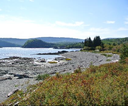
Parc National Du Bic
Bas-Saint-Laurent
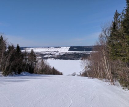
Parc du Mont-Saint-Mathieu
Bas-Saint-Laurent
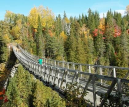
Canyon Des Portes De L'enfer
Bas-Saint-Laurent

Beausejour Park
Bas-Saint-Laurent
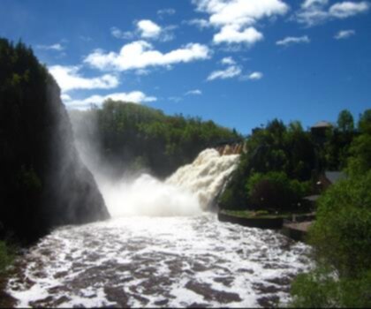
Parc Des Chutes
Bas-Saint-Laurent

Lac Anna
Bas-Saint-Laurent
Hiking near Quebec City
40 trails to explore ~178 km away
We work hard to provide the most up-to-date and error-free data possible. If something seems incorrect, let us know! Your contribution helps the whole community.
Hikers' opinions