Let's Go Play Outside
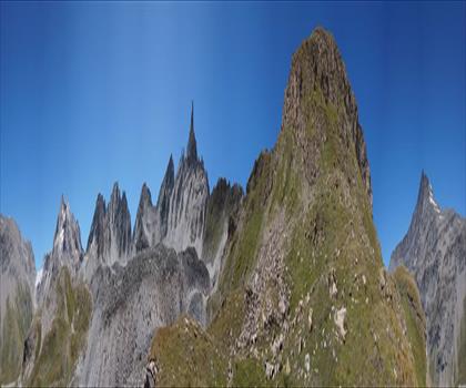
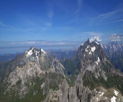
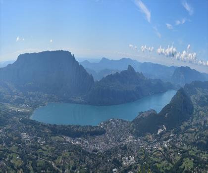
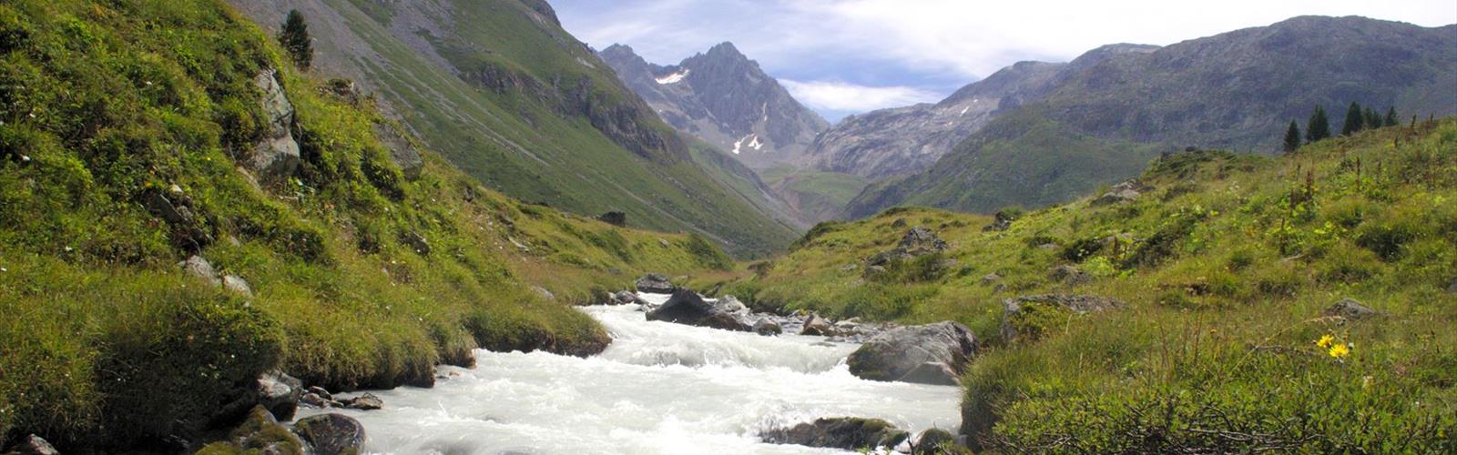
Hiking Réserve naturelle nationale du plan de Tuéda - panoramic view
--°C
Loading...
See forecast →

Hiking in Réserve naturelle nationale du plan de Tuéda: trails, map and practical info

Savoie • Auvergne-Rhône-Alpes

Explore this 3.5 km loop through Savoie's pristine alpine wetlands, featuring ancient stone pines and a glacial lake at 1,750 meters. Easy difficulty, 1h30 on boardwalks near Méribel—perfect for observing subalpine flora and wildlife in a protected national reserve.

3.5 km
Distance
1h30
Duration
335 m
Elevation
Difficulty
Easy
Max altitude
1,747 m
Recommended for :
Beginners

Ready to explore Réserve naturelle nationale du plan de Tuéda? Here's everything you need to know before you go!

Discover the trail
1 community photos

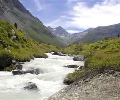
Photos: Nicolas Fressengeas — CC BY-SA 4.0 (Wikimedia Commons)

Trail description

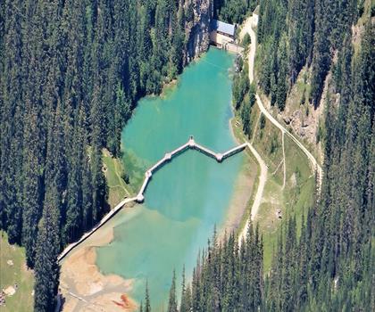
The reserve encompasses the Plan de Tuéda, a glacially-carved basin that cradles Lac de Tuéda at an elevation of approximately 1,747 meters. This shallow mountain lake, fed by snowmelt and alpine springs, serves as the centerpiece of a delicate wetland ecosystem that supports an extraordinary diversity of plant and animal life.

Free 1 pages

The Essential Hiking Checklist

Everything you need for your next hike. Bilingual, printable, 1 page.

Get your free hiking checklist

Recommended gear for this trail

As an Amazon Associate I earn from qualifying purchases.

LGPO Pick
Elixir Tour Mid WP
Salomon
Elixir Tour Mid WP
4.5 (2847 reviews)
Waterproof mid-height boot ideal for rocky terrain
203.38 $
See price
Daylite Plus 20L
Osprey
Daylite Plus 20L
4.7 (3215 reviews)
Lightweight and versatile for day hikes
109.99 $
See price
Most Popular
Wide Mouth 1L
Nalgene
Wide Mouth 1L
4.8 (12540 reviews)
Unbreakable and BPA-free — a hiking essential
23.11 $
See price
Best Value
Trail Ergo Cork
Black Diamond
Trail Ergo Cork
4.4 (1456 reviews)
Comfortable cork grip for long ascents
69.99 $
See price
Actik Core 625
Petzl
Actik Core 625
4.6 (1893 reviews)
USB rechargeable with 600 lumens for early starts
103.95 $
See price
Affiliate links — LGPO may earn a commission at no extra cost to you.

Ready to go?

Everything you need to know before you go

Where?

Address
73550 Les Allues, France
GPS coordinates
45.3582513, 6.601170199999999
Phone
Not available

When?

Opening hours
No information
Varies by season
Best season
Fall
Spectacular colors
Best time
Early morning
Less crowded
Weather (next days)
Loading

How much?

Entry fees
Adult
Not available
Child
—
What to bring?

As an Amazon Associate I earn from qualifying purchases.

Affiliate links — LGPO may earn a commission at no extra cost to you.

Gear
Download the PDF checklist
Water & food
2L minimum
No water point on the trail
Bring energy snacks for a 4h+ hike
Good to know
Safety
Download the GPX before you go
Limited cellular coverage on the trail
Slippery after rain
Be careful on rocky sections
In an emergency
Emergency
911
Parking GPS
45.3582513, 6.601170199999999
Center
Not available

Hikers' opinions

Be the first to review!

No hiker has shared their experience yet. Share your impressions and help other hikers!

FAQ - Frequently asked questions

Everything you need to know
Réserve naturelle nationale du plan de Tuéda is rated easy.
The elevation gain of Réserve naturelle nationale du plan de Tuéda is 335 m.
The summit of Réserve naturelle nationale du plan de Tuéda is at 1,747 m.
Allow about 1h30 for Réserve naturelle nationale du plan de Tuéda (3.5 km).
No, Réserve naturelle nationale du plan de Tuéda has no visitor centre on site.
The trail in the Réserve naturelle nationale du plan de Tuéda is 3.5 km long. The hike typically takes about 1h30 to complete, making it a manageable half-day outdoor activity.
The Réserve naturelle nationale du plan de Tuéda trail is rated as Easy difficulty. With its 3.5 km distance and 300 m elevation gain, it's suitable for hikers with basic fitness levels and outdoor experience.
Didn't find your answer?
Top 10 best hiking in Savoie
Our ranking based on hiker reviews

Hiking near Sydney

22 trails to explore ~5038 km away

View trails
Did you spot an error?

We work hard to provide the most up-to-date and error-free data possible. If something seems incorrect, let us know!

Update : October 2026