

Ready to explore Parc naturel régional du massif des Bauges? Here's everything you need to know before you go!
Discover the trail
Trail description
The Parc Naturel Régional du Massif des Bauges sits in the heart of the French Alps, spanning the Savoie and Isère departments within the Auvergne-Rhône-Alpes region. Established in 1977, this protected landscape covers nearly 5,000 hectares of mountain terrain where limestone peaks, dense forests, and traditional pastoral valleys coexist in a relatively compact area. It's the kind of place that rewards hikers who want genuine Alpine experiences without the crowds that tend to pile up at more famous destinations nearby.
What makes the Bauges stand out is how much variety it packs into a single outing. You can move from shaded beech and fir forests at lower elevations through open alpine meadows and onto exposed limestone ridges, all within the same hike. The elevation gain of 1,200 meters available in the park means you'll experience real altitude change and the corresponding shifts in vegetation, temperature, and views that come with it.
Terrain and Landscape
The geology here is predominantly limestone, and it shows. The peaks rise sharply from forested slopes, creating the kind of dramatic relief that makes for memorable ridge walking. Below the treeline, dense beech and fir forests cover the hillsides, offering shade and a sense of depth to the landscape. Higher up, the trees give way to alpine meadows and then to bare rock faces where the views open up across the broader Alpine region.
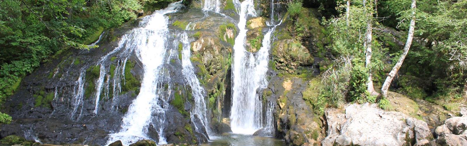
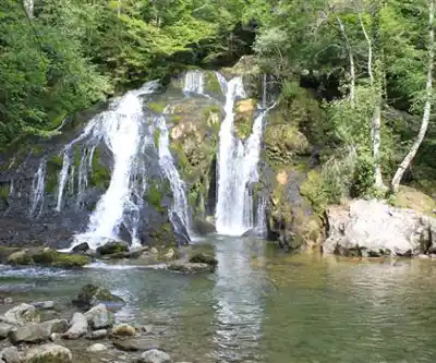
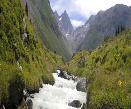
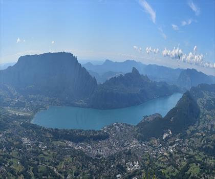
Water is a constant presence throughout the park. Mountain streams cut through rocky gorges, and the terrain channels snowmelt into cascades that are particularly impressive in late spring and early summer. The proximity to Lake Annecy — France's largest natural lake — adds another layer to the experience. Several trails climb to elevated viewpoints where the lake's famously clear blue water stretches out below the surrounding peaks, creating some of the most striking scenery in the French Alps.
The limestone geology also supports specialized plant communities adapted to alkaline soils, which gives the Bauges genuine botanical interest beyond the standard alpine wildflower displays. Spring brings meadow blooms, and autumn turns the deciduous forests into a mix of gold and red that makes the lower trails particularly appealing in September and October.
Trail Network
The park's trail system is extensive and well-maintained, connecting villages, peaks, and natural features across the protected area. Paths range from gentle valley walks suitable for families to demanding mountain routes with significant elevation gain. Many of these trails follow routes that local farmers and shepherds have used for generations, which gives them a directness and logic that more modern trail systems sometimes lack — they go where they need to go, and they tend to take you through the most interesting terrain along the way.
The network supports both day hikes and longer multi-day itineraries. With 1,200 meters of elevation gain available and an estimated hiking time of around four hours for the harder routes, the park offers a solid challenge for experienced hikers while still providing options for those looking for something less demanding. The hard-rated trails in particular involve sustained climbing and exposed sections that require sure footing and a reasonable level of fitness.
Wildlife and Natural Features
The combination of forest, meadow, and rocky high-altitude terrain creates a range of habitats that support diverse wildlife. The park's protected status since 1977 has allowed animal populations to recover and stabilize, making wildlife observation a genuine part of the hiking experience here rather than an afterthought. The varied habitats attract everything from woodland birds in the lower forests to species adapted to the open alpine zones higher up.
The flora shifts noticeably as you gain elevation. The lower forests have their own ecosystem, while the alpine meadows support plant communities that are specifically adapted to the short growing season and harsh winters at altitude. The limestone substrate adds further botanical diversity, with species that thrive in the alkaline conditions found throughout the park.
Access and Practical Information
The Bauges is well-positioned for access from major centers in the Auvergne-Rhône-Alpes region. The park's location between several Savoyard valleys means there are multiple entry points depending on which area you want to explore. Villages within and around the park have maintained their traditional Alpine character, and they provide practical services — parking, basic supplies, local information — without having been transformed into tourist infrastructure the way some more famous Alpine destinations have been.
The park's position in the broader Alpine landscape means you're hiking within sight of some of the most significant mountain terrain in Europe, but at a scale and pace that allows for genuine engagement with the environment rather than just moving through it. For hikers new to the French Alps, the Bauges offers a solid introduction to what this region does best: dramatic limestone terrain, diverse ecosystems, and trails that have been walked long enough to feel like they belong to the landscape.
The Essential Hiking Checklist
Everything you need for your next hike. Bilingual, printable, 1 page.
Get your free hiking checklistRecommended gear for this trail
As an Amazon Associate I earn from qualifying purchases.


Ready to go?
Everything you need to know before you goStarting Point
The start of the trails of the Regional Natural Park of the Massif des Bauges is in Ugine.
When?
Tuesday: 9:00 AM – 12:00 PM, 2:00 – 5:00 PM
Wednesday: 9:00 AM – 12:00 PM, 2:00 – 5:00 PM
Thursday: 9:00 AM – 12:00 PM, 2:00 – 5:00 PM
Friday: 9:00 AM – 12:00 PM, 2:00 – 5:00 PM
Saturday: Closed
Sunday: Closed
How much?
As an Amazon Associate I earn from qualifying purchases.
Affiliate links — LGPO may earn a commission at no extra cost to you.
- Hiking shoes Essential
- → Salomon Elixir Tour Mid WP · 203.38 $
- Layered clothing Essential
- Rain jacket Essential
- Trekking poles
- → Black Diamond Trail Ergo Cork · 69.99 $
- Headlamp
- → Petzl Actik Core 625 · 103.95 $
FAQ - Frequently asked questions
Everything you need to knowSimilar hikes nearby
Discover other trails you might enjoy
Lac de la Sassière
Savoie
Croix du Nivolet
Savoie
Réserve naturelle nationale du plan de Tuéda
Savoie
Parc national de la Vanoise
Savoie
Lac de la Rosière
Savoie
Belvédère du Revard
Savoie
Hiking near Sydney
22 trails to explore ~4989 km away
We work hard to provide the most up-to-date and error-free data possible. If something seems incorrect, let us know! Your contribution helps the whole community.
Hikers' opinions
Be the first to review!
No hiker has shared their experience yet. Share your impressions and help other hikers!