

Ready to explore Cascade d'Angon? Here's everything you need to know before you go!
Discover the trail
Oh no! We don't have any photos 😢
This trail hasn't been captured yet. Be the first to share your adventure!Trail description
The Cascade d'Angon is one of those hikes that delivers exactly what it promises — a genuine alpine waterfall experience without requiring expert-level fitness or technical skills. Starting from the village of Angon on the eastern shore of Lake Annecy, this 8.5-kilometer round trip packs 500 meters of elevation gain into a trail that feels challenging but never overwhelming, making it a solid choice for hikers looking for more than a casual stroll without committing to a full mountain day.
The trailhead sits in Angon itself, accessible from Annecy via the D909 road that hugs Lake Annecy's eastern shore. Parking near the village center is limited, and additional spots can be found along the roadside — arriving early on summer weekends is genuinely necessary, not just a polite suggestion. No permits or fees are required to hike here.
What the Trail Feels Like
The 500 meters of elevation gain spreads fairly evenly across the 4.25-kilometer approach, which keeps the effort consistent rather than front-loading a brutal climb. You're looking at roughly 2 hours 30 minutes for the round trip at a comfortable pace, though stopping for photos or a break at the waterfall will add time.
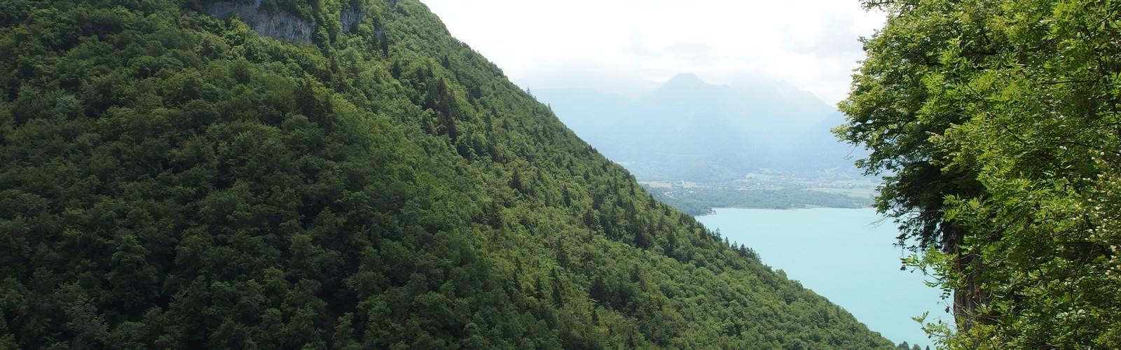
The trail opens through mixed forest — beech, fir, and spruce — where the Angon stream runs nearby and the sound of water is a constant companion from early on. The path is well-maintained and clearly marked with standard French hiking blazes. As you gain elevation, the forest thins enough to offer glimpses of Lake Annecy through the trees, and those views are worth pausing for. The turquoise of the lake against the surrounding peaks is a genuinely striking combination.
The final stretch to the waterfall is where the terrain demands more attention. The path narrows, the surface becomes rockier, and spray from the cascade keeps things wet — especially during snowmelt season in late spring and early summer. Boots with solid traction handle this section comfortably; lightweight trail runners are workable in dry summer conditions but less ideal when wet rock is involved.
The cascade itself drops 35 meters in a single plunge into a deep pool surrounded by moss-covered rock and ferns. The narrow gorge concentrates the sound of the falling water in a way that feels almost disproportionate to the trail's moderate rating — it's a genuinely impressive payoff for the effort involved.
Seasonal Conditions
Each season changes the character of this hike in meaningful ways. Spring brings the most powerful water flow as snowmelt feeds the cascade, which makes for dramatic scenery but also muddier trail conditions and heavier spray near the falls. Wildflowers appear through May and June, adding color to the forest floor.
Summer offers the most straightforward conditions — dry trails, warm temperatures, and manageable crowds if you start early. The waterfall runs lower than in spring but remains impressive. This is the best window for families with younger children, given the combination of good footing and reliable weather.
Autumn is arguably the most visually rewarding season. The deciduous trees turn gold and red, the trail conditions stay solid through October, and the waterfall provides a strong visual anchor against the fall colors. Daylight hours shorten noticeably, so earlier starts become more important.
Winter hiking is possible but requires microspikes or light crampons, particularly near the waterfall where spray freezes on the rock surfaces. The frozen cascade creates striking ice formations, but the approach to it becomes genuinely hazardous without traction devices. This is not a hike to attempt in winter with standard footwear.
Practical Notes
Dogs are welcome on the trail but should be kept on leash, especially near the waterfall where the rocky, wet terrain requires careful footing for both hikers and their animals. The standard day-hiking kit covers everything you need: sturdy boots, layered clothing, rain protection, and enough water for a 2.5-hour outing.
Families with children will find the distance and elevation manageable, though the 8.5-kilometer total and the rockier final section near the falls are worth factoring in honestly when assessing younger hikers' readiness. The waterfall is a strong motivator for kids who might flag on the climb.
The trail also connects to other routes in the area for those wanting a longer day — local maps show links to higher-elevation paths that access ridgelines above Lake Annecy, though those extensions require significantly more time and effort than the waterfall route on its own.
The Essential Hiking Checklist
Everything you need for your next hike. Bilingual, printable, 1 page.
Get your free hiking checklistRecommended gear for this trail
As an Amazon Associate I earn from qualifying purchases.


Ready to go?
Everything you need to know before you goWhen?
How much?
As an Amazon Associate I earn from qualifying purchases.
Affiliate links — LGPO may earn a commission at no extra cost to you.
- Hiking shoes Essential
- → Salomon Elixir Tour Mid WP · 203.38 $
- Layered clothing Essential
- Rain jacket Essential
- Trekking poles
- → Black Diamond Trail Ergo Cork · 69.99 $
- Headlamp
- → Petzl Actik Core 625 · 103.95 $
FAQ - Frequently asked questions
Everything you need to knowSimilar hikes nearby
Discover other trails you might enjoy
Mont Buet
Haute-Savoie
Cirque Du Fer A Cheval
Haute-Savoie
Cascade de Bérard
Haute-Savoie
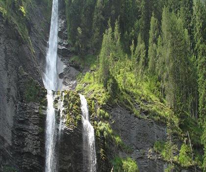
Cascade du Rouget
Haute-Savoie
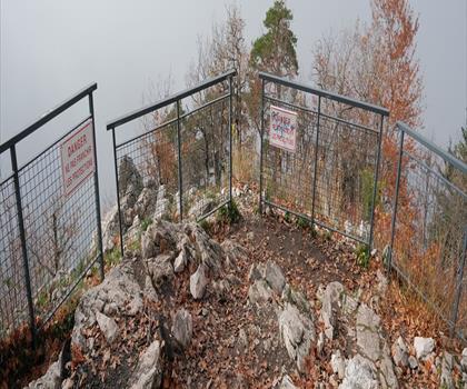
Col du Pré Vernet
Haute-Savoie
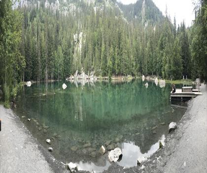
Lac Vert
Haute-Savoie
Hiking near Sydney
22 trails to explore ~4988 km away
We work hard to provide the most up-to-date and error-free data possible. If something seems incorrect, let us know! Your contribution helps the whole community.
Hikers' opinions
Be the first to review!
No hiker has shared their experience yet. Share your impressions and help other hikers!