

Ready to explore Parc national de la Vanoise? Here's everything you need to know before you go!
Discover the trail
Trail description
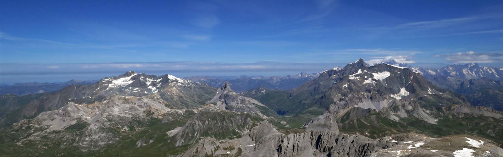
Vanoise National Park stands as France's pioneering national park, established in 1963 in the heart of the French Alps. Spanning 1,350 square kilometers across the Savoie and Haute-Savoie departments in the Auvergne-Rhône-Alpes region, this protected wilderness serves over 100,000 residents and countless visitors as a gateway to some of Europe's most spectacular alpine terrain.
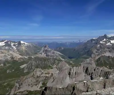
The park's landscape reads like a catalog of alpine environments, from thundering glaciers and pristine mountain lakes to dense coniferous forests and soaring peaks. This diversity creates a hiking destination where you can experience multiple ecosystems within a single day's trek, moving from valley floors through montane forests to high alpine meadows and rocky summits.
Terrain and Trail Network
Vanoise's trail system weaves through dramatically varied terrain that showcases the full spectrum of alpine geography. The lower elevations feature well-established paths through spruce and larch forests, where the walking is generally moderate and the canopy provides welcome shade during summer months. These forest trails often lead to crystal-clear mountain lakes, many of which reflect the surrounding peaks in their still waters.
As you gain elevation, the landscape opens into alpine meadows that burst with wildflowers during the brief summer growing season. The higher trails become more demanding, crossing rocky terrain and sometimes requiring basic scrambling skills. Glaciated peaks dominate the horizon throughout much of the park, creating a backdrop that constantly reminds you of the raw geological forces that shaped this landscape.
The park's position in the heart of the Alps means weather can change rapidly, and conditions vary dramatically with elevation. Morning sunshine in the valleys can give way to afternoon thunderstorms on the peaks, making proper preparation essential for any hiking venture. The extensive trail network accommodates hikers of all skill levels, from gentle valley strolls to challenging high-altitude routes that test even experienced mountaineers.
Wildlife and Natural Features
The park protects an impressive array of alpine wildlife that has adapted to life in these harsh mountain conditions. The varied habitats support different species at different elevations, from forest dwellers in the lower valleys to specialized alpine creatures that thrive above the treeline. You might encounter chamois navigating steep rocky slopes with remarkable agility, or catch sight of golden eagles soaring on thermal currents above the peaks.
The plant communities change noticeably as you climb, creating distinct zones that each support their own collection of species. Forest understories give way to alpine meadows filled with gentians, edelweiss, and countless other mountain flowers that bloom in brilliant displays during the short growing season. These meadows in turn transition to hardy plants that cling to rocky slopes and survive the extreme conditions near the peaks.
Glacial features throughout the park tell the story of ice ages past and present. Active glaciers continue to shape the landscape, while moraines, cirques, and U-shaped valleys reveal the work of ancient ice flows. These geological features create some of the most dramatic scenery in the Alps and provide fascinating examples of glacial processes for those interested in mountain geology.
The Hiking Experience
What sets Vanoise apart from other alpine destinations is the seamless integration of wilderness experience with thoughtful infrastructure. The park maintains trails that feel genuinely wild while providing enough support to make multi-day adventures accessible to committed hikers. You'll find yourself walking ancient paths that shepherds once used, now marked and maintained but still retaining their authentic mountain character.
The scale of the landscape here can be overwhelming in the best possible way. Valleys stretch for kilometers between towering peaks, creating a sense of space and grandeur that's hard to find elsewhere in Europe. The interplay of light and shadow across these vast mountain faces changes throughout the day, offering constantly shifting perspectives on the same dramatic terrain.
Water is a constant presence throughout the park, from rushing mountain streams fed by snowmelt to serene alpine lakes that provide perfect spots for rest and reflection. The sound of flowing water accompanies much of your hiking, creating a natural soundtrack that enhances the wilderness experience.
Winter Recreation
When snow blankets the peaks and valleys, Vanoise transforms into a winter sports destination that attracts skiers and snowboarders from across Europe. The park's winter recreation opportunities extend beyond the established ski resorts, offering backcountry skiing and snowshoeing for those seeking quieter winter experiences.
Winter conditions in the park can be severe, with heavy snowfall and extreme cold at higher elevations. However, this same harsh climate creates the perfect conditions for winter sports and transforms the landscape into a pristine white wilderness that offers a completely different perspective on the same terrain that summer hikers explore.
Planning Your Visit
The park's size and diverse terrain mean that planning is crucial for making the most of your visit. Different areas of the park offer distinct experiences, from gentle valley walks suitable for families to challenging high-altitude routes that demand mountaineering experience. Consider your fitness level and experience carefully when choosing routes, as the alpine environment can be unforgiving to those who overestimate their abilities.
Summer hiking season typically runs from late June through September, though this varies significantly with elevation. Lower valley trails may be accessible earlier and later in the season, while high alpine routes might only be snow-free for a few months. Weather conditions can change rapidly at any time of year, particularly at higher elevations.
The park's infrastructure includes a network of mountain huts and refuges that allow for multi-day trekking adventures. These facilities provide shelter and meals in remote locations, making it possible to explore deep into the park's interior without carrying full camping gear. Reservations are typically required, especially during peak summer months.
Access and Transportation
Multiple access points around the park's perimeter provide entry to different sections of the trail network. Each access point offers its own character and leads to different types of terrain and experiences. Some trailheads are accessible by car, while others require additional hiking or use of mountain transportation systems like cable cars or chairlifts.
The park's location in the French Alps means it's well-connected to major transportation networks, though reaching specific trailheads often requires careful planning and sometimes multiple modes of transport. Local transportation options vary by season, with some mountain roads and lifts operating only during peak summer and winter seasons.
Parking availability varies significantly by location and season, with popular trailheads filling early during peak summer weekends. Starting early in the day not only helps secure parking but also allows you to experience the mountains during the typically more stable morning weather conditions, when visibility is often at its best and afternoon thunderstorms haven't yet developed.
The Essential Hiking Checklist
Everything you need for your next hike. Bilingual, printable, 1 page.
Get your free hiking checklistRecommended gear for this trail
As an Amazon Associate I earn from qualifying purchases.


Ready to go?
Everything you need to know before you goStarting Point
The trailhead for the Vanoise National Park is located in Pralognan-la-Vanoise, Auvergne-Rhône-Alpes.
When?
How much?
As an Amazon Associate I earn from qualifying purchases.
Affiliate links — LGPO may earn a commission at no extra cost to you.
- Hiking shoes Essential
- → Salomon Elixir Tour Mid WP · 203.38 $
- Layered clothing Essential
- Rain jacket Essential
- Trekking poles
- → Black Diamond Trail Ergo Cork · 69.99 $
- Headlamp
- → Petzl Actik Core 625 · 103.95 $
FAQ - Frequently asked questions
Everything you need to knowSimilar hikes nearby
Discover other trails you might enjoy
Lac de la Sassière
Savoie
Croix du Nivolet
Savoie
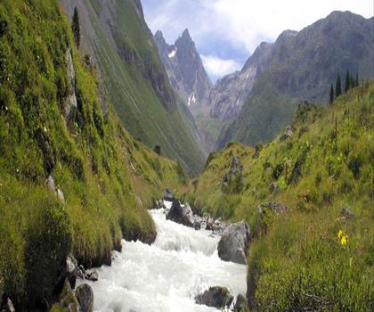
Réserve naturelle nationale du plan de Tuéda
Savoie
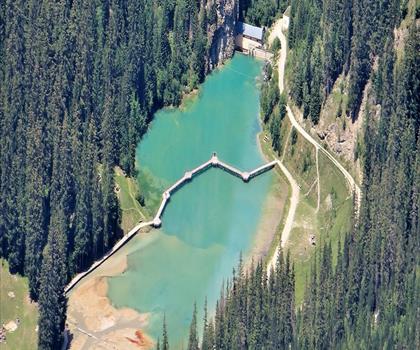
Lac de la Rosière
Savoie
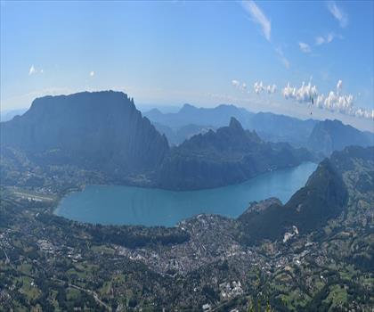
Belvédère du Revard
Savoie
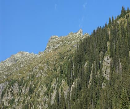
Lac de Saint-Guérin
Savoie
Hiking near Sydney
22 trails to explore ~5054 km away
We work hard to provide the most up-to-date and error-free data possible. If something seems incorrect, let us know! Your contribution helps the whole community.
Hikers' opinions
Be the first to review!
No hiker has shared their experience yet. Share your impressions and help other hikers!