

Ready to explore Zec JARO? Here's everything you need to know before you go!
Discover the trail

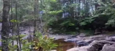
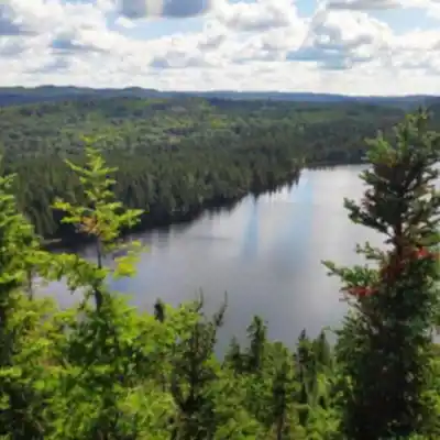

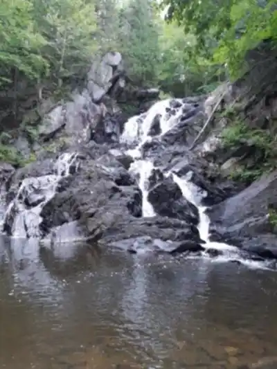
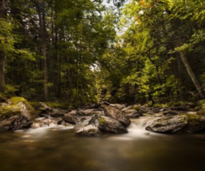
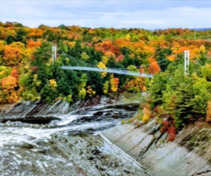
Trail description
Wildlife you might see
Zec JARO is known for its wildlife, and it's worth hiking with your eyes up and your pace flexible. The area supports various wildlife species. Birdwatchers will have plenty to do here, with numerous bird species living throughout the ecosystem. If you're hoping to spot birds, bring patience and take a few slower sections where you pause and listen—forest birds are often easier to hear before they're easy to see.
Recommended gear for this trail


Ready to go?
Everything you need to know before you goStarting Point
The trailhead for zec jaro is located in Saint-Étienne-de-Lauzon, in the Chaudière-Appalaches region. To get there, take the Saint-Étienne exit from Highway 20 and follow the signs to downtown. In the center of town, turn left on Principale Street and continue to the end. The start of the zec jaro trails will be on your right.
When?
How much?
- Hiking shoes Essential
- → Salomon Elixir Tour Mid WP · 203.38 $
- Layered clothing Essential
- Rain jacket Essential
- Trekking poles
- → Black Diamond Trail Ergo Cork · 69.99 $
- Headlamp
- → Petzl Actik Core 625 · 103.95 $
FAQ - Frequently asked questions
Everything you need to knowThe Essential Hiking Checklist
Everything you need for your next hike. Bilingual, printable, 1 page.
Download the free checklistSimilar hikes nearby
Discover other trails you might enjoy

Auberge des Glacis
Chaudière-Appalaches
Parc régional du Massif du Sud
Chaudière-Appalaches
Parc Des Chutes-de-la-chaudière
Chaudière-Appalaches

Domaine Joly-De Lotbinière
Chaudière-Appalaches

Domaine du Radar
Chaudière-Appalaches

Mont Chocolat
Chaudière-Appalaches
Hiking near Quebec City
40 trails to explore ~114 km away
We work hard to provide the most up-to-date and error-free data possible. If something seems incorrect, let us know! Your contribution helps the whole community.
Hikers' opinions