

Ready to explore Parc régional du Massif du Sud? Here's everything you need to know before you go!
Discover the trail
Available trails
| Trails | Distance | Elevation | Duration | Difficulty | GPX |
|---|---|---|---|---|---|
| 4.8 km | 221 m | 1h30 | Intermediate | ||
| 4.3 km | 235 m | 1h30 | Intermediate | ||
| 4.6 km | 147 m | 1h30 | Intermediate | ||
| 8.3 km | 380 m | 2h30 | Intermediate | ||
| 16 km | 756 m | 5h | Advanced | ||
| 11 km | 449 m | 3h | Advanced | ||
| 28.4 km | 1214 m | 8h30 | Advanced | ||
| 15 km | 440 m | 4h | Advanced | ||
| 18 km | 723 m | 5h | Advanced | ||
| 9 km | 449 m | 3h | Advanced | ||
| 9 km | 468 m | 3h | Advanced | ||
| 13.9 km | 641 m | 4h | Advanced |
Trail description
{
"hiking_trails_section": "
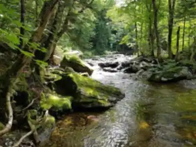
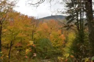
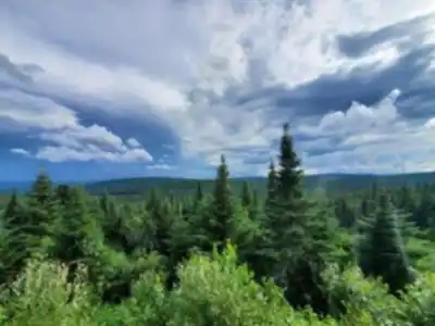
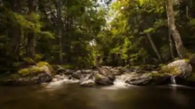
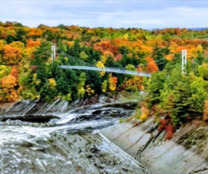
Hikers come here for the extensive network of trails that crosses diverse terrain. The park offers more than 17 hiking trails totalling 71 kilometers, mainly at intermediate and advanced levels. You'll find options ranging from a leisurely stroll to a more challenging ascent, so it's a good pick if your group has mixed energy levels or if you want to decide on the spot how ambitious to be.
"}
Services and amenities
This information may vary by season.
Recommended gear for this trail


Ready to go?
Everything you need to know before you goStarting Point
To access the hiking trails, you can start at the main entrance parking lot located at 300 Route du Massif, Saint-Philémon, QC G0R 4A0. There are no additional trailheads with separate addresses; all trails can be accessed from this central location.
When?
How much?
- Hiking shoes Essential
- → Salomon Elixir Tour Mid WP · 203.38 $
- Layered clothing Essential
- Rain jacket Essential
- Trekking poles
- → Black Diamond Trail Ergo Cork · 69.99 $
- Headlamp
- → Petzl Actik Core 625 · 103.95 $
FAQ - Frequently asked questions
Everything you need to knowThe Essential Hiking Checklist
Everything you need for your next hike. Bilingual, printable, 1 page.
Download the free checklistSimilar hikes nearby
Discover other trails you might enjoy

Auberge des Glacis
Chaudière-Appalaches
Parc Des Chutes-de-la-chaudière
Chaudière-Appalaches

Domaine Joly-De Lotbinière
Chaudière-Appalaches

Domaine du Radar
Chaudière-Appalaches

Zec JARO
Chaudière-Appalaches

Parc Régional Des Appalaches
Chaudière-Appalaches
Hiking near Quebec City
40 trails to explore ~60 km away
We work hard to provide the most up-to-date and error-free data possible. If something seems incorrect, let us know! Your contribution helps the whole community.
Hikers' opinions