Nestled in the heart of Quebec, the Chaudière-Appalaches region offers an exceptional blend of rolling hills, pristine forests, and breathtaking river valleys that make it a premier destination for hiking enthusiasts. This diverse landscape, where the ancient Appalachian Mountains meet the fertile St. Lawrence Lowlands, provides outdoor adventurers with an unparalleled variety of trails and natural experiences.
Why Choose Chaudière-Appalaches for Your Next Hiking Adventure
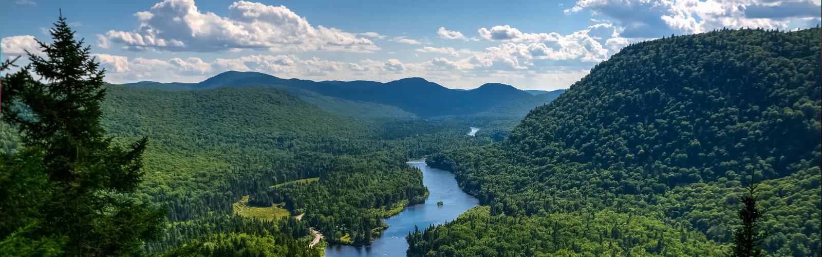
The Chaudière-Appalaches hiking experience is defined by its remarkable geological diversity and rich natural heritage. The region showcases dramatic contrasts, from the gentle agricultural plains along the St. Lawrence River to the rugged peaks of the Appalachian foothills. Hikers can explore dense maple and birch forests that burst into spectacular colors during fall, discover hidden waterfalls cascading down rocky escarpments, and traverse scenic ridgelines offering panoramic views of the surrounding countryside.
The area's unique position at the confluence of different ecosystems creates exceptional biodiversity, with opportunities to spot white-tailed deer, black bears, and over 200 bird species. The region's numerous rivers and streams, including the mighty Chaudière River, add an aquatic dimension to many trails, providing refreshing stops and scenic viewpoints.
Essential Trail Experiences
The sentiers Chaudière-Appalaches network encompasses a wide range of hiking opportunities suitable for all skill levels. From gentle riverside walks perfect for families to challenging mountain ascents that reward experienced hikers with stunning vistas, the region caters to every outdoor enthusiast's preferences.
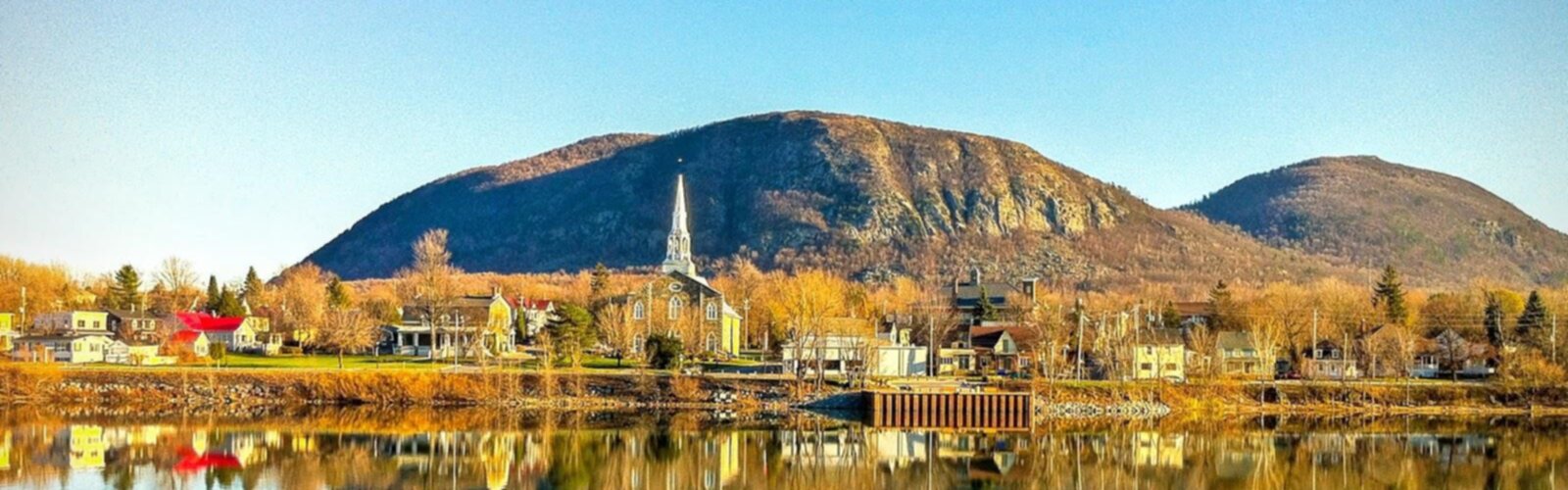
Many trails wind through protected areas and regional parks, offering well-maintained paths with interpretive panels that highlight the area's natural and cultural history. The region's trail system connects charming rural communities, historic sites, and natural landmarks, creating opportunities for multi-day adventures or leisurely day hikes.
Difficulty Levels for Every Hiker
The region's topographical diversity ensures that plein air Chaudière-Appalaches activities accommodate hikers of all abilities. Beginners can enjoy flat, well-marked trails along river valleys and through agricultural landscapes, while intermediate hikers can tackle moderate climbs through forested hills with rewarding viewpoints. Advanced adventurers will find challenging terrain in the higher elevations, featuring steep ascents, rocky sections, and technical trail segments.
Beyond Hiking: A Complete Outdoor Playground
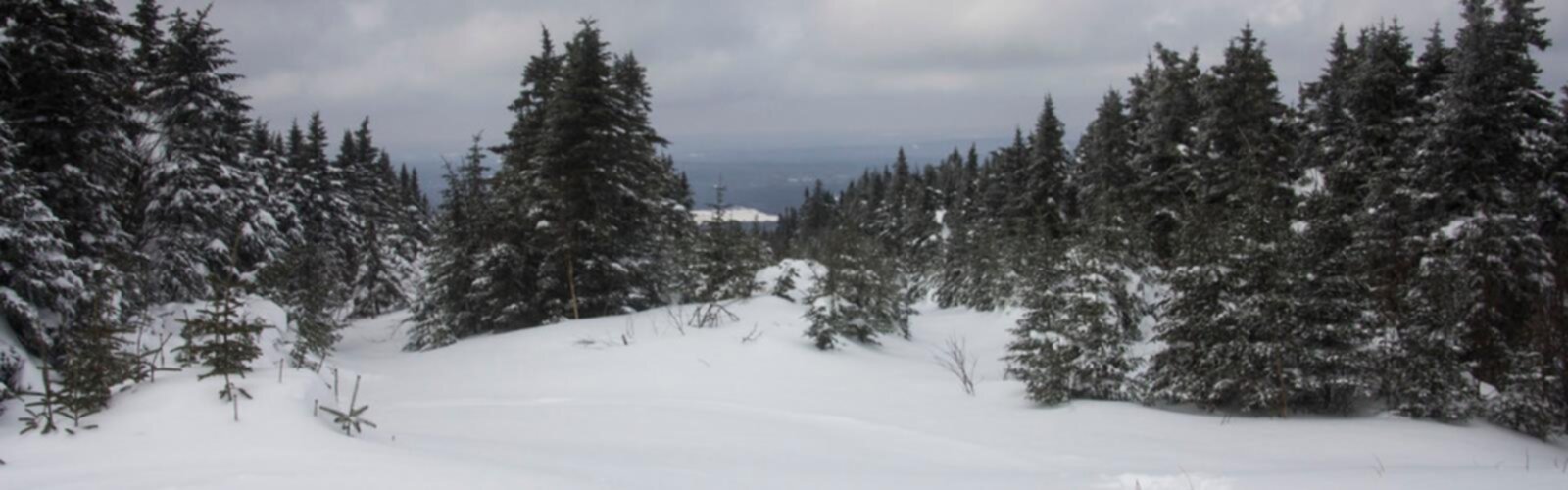
While hiking remains the primary draw, Chaudière-Appalaches offers numerous complementary outdoor activities. The region's extensive waterways provide excellent opportunities for canoeing and kayaking, while winter transforms the landscape into a paradise for snowshoeing and cross-country skiing. Mountain biking trails, fishing spots, and wildlife observation areas ensure year-round outdoor recreation possibilities.
Planning Your Visit
Best Time to Visit
The hiking season typically runs from May through October, with peak conditions during summer and early fall. September and October offer the added bonus of spectacular autumn foliage.
Essential Gear
Standard hiking equipment is recommended, including sturdy footwear, weather-appropriate clothing, and navigation tools. Bug protection is advisable during summer months, and layers are essential given the region's variable weather conditions.
Access and Accommodation
The region is easily accessible from Quebec City and Montreal, with numerous trailheads reachable by car. Local communities offer various accommodation options, from rustic camping to comfortable bed-and-breakfasts, making it easy to plan extended outdoor adventures.