


Ready to explore Les Sentiers Pédestres De Saint-marcel? Here's everything you need to know before you go!
Discover the trail
Oh no! We don't have any photos 😢
This trail hasn't been captured yet. Be the first to share your adventure!Trail description
Les Sentiers Pédestres De Saint-Marcel is a well-kept trail network in the Chaudière-Appalaches region of Quebec, maintained by dedicated volunteers who take obvious pride in keeping it accessible and clearly marked. It's the kind of place that rewards a slower pace—forest walking, stream crossings, open viewpoints—without asking anything extreme of the people who show up.
Trail network and what to expect
The site is built around a network of intersecting trails, which means you can shape your outing based on how much time and energy you have. A solid representative loop here covers 5 km with around 150 m of elevation gain—rated easy and typically done in about 1 hour 30 minutes. The elevation change is real enough to give the hike some texture, but it's never steep or sustained enough to feel like a grind. Most hikers who are comfortable on natural surfaces will find it very manageable.
Because the network branches out beyond that core loop, you have options. Stronger hikers can string together more distance, while anyone who wants a shorter, flatter walk can stick to the gentler sections. That flexibility makes it a practical choice for mixed groups.
What the trail feels like underfoot
The terrain is classic Quebec woodland—natural tread with roots, occasional uneven patches, and surfaces that can get slick after rain. Footwear with decent grip is worth it, especially in spring or after a wet stretch. The trails wind through forested sections and follow alongside streams in places, so the underfoot conditions shift as you move through different parts of the network.
The shaded forest stretches keep things cooler and quieter, and the stream corridors add a layer of sound and movement that breaks up the rhythm of the walk in a good way. It's not a manicured path—it feels like actual woods, which is part of the appeal.
Scenery and viewpoints
The trail network includes several lookout points that open up panoramic views over the surrounding Chaudière-Appalaches landscape. These are natural stopping points—worth slowing down for, especially if you're carrying a camera. The combination of layered hills and treetops works well for wide shots, and the forest sections offer plenty of close-up detail: light filtering through branches, the texture of bark, water moving over rocks.
Between the forest, the streams, and the open viewpoints, the scenery shifts enough throughout the hike that it never feels repetitive. The lookouts in particular give you a sense of where you are in the broader landscape, which is satisfying after spending time in the trees.
Wildlife and seasonal changes
The habitat here supports a range of native species. Hikers regularly spot deer and foxes, and the area is good for birdwatching, with a variety of bird species present throughout the seasons. Early morning and quieter sections near the streams tend to be the most productive times for wildlife watching.
The trail changes noticeably with the seasons. Spring brings wildflowers and higher water in the streams. Summer means dense shade and greenery. Autumn is when the forest really performs—vibrant foliage transforms the same corridors you'd walk any other time of year into something worth making a specific trip for. The volunteer-maintained network stays accessible year-round, so there's no real off-season here.
Facilities and practical details
There are picnic areas on site, which makes it easy to turn the hike into a longer outing. They work well as a mid-hike break spot or a place to eat lunch before heading back. For groups with different energy levels, these spots are useful natural regrouping points.
Before heading out, pick up or review the trail maps available at the entrance—with a branching network, having a sense of the layout helps you choose a route that fits your time. Bring water and snacks even on an easy outing, and check local weather conditions beforehand, particularly in shoulder seasons when trail surfaces can be unpredictable.
Les Sentiers Pédestres De Saint-Marcel offers a straightforward, well-marked way to spend time in the woods without overcomplicating the day—forest, streams, viewpoints, and the kind of quiet that's harder to find closer to the city.
The Essential Hiking Checklist
Everything you need for your next hike. Bilingual, printable, 1 page.
Get your free hiking checklistRecommended gear for this trail
As an Amazon Associate I earn from qualifying purchases.


Ready to go?
Everything you need to know before you goStarting Point
To access the hiking trails, you can start at the main trailhead located at 10 Rue Principale, Saint-Marcel, QC G0R 3R0. There is a parking lot available at this address for visitors.
When?
How much?
As an Amazon Associate I earn from qualifying purchases.
Affiliate links — LGPO may earn a commission at no extra cost to you.
- Hiking shoes Essential
- → Salomon Elixir Tour Mid WP · 203.38 $
- Layered clothing Essential
- Rain jacket Essential
- Trekking poles
- → Black Diamond Trail Ergo Cork · 69.99 $
- Headlamp
- → Petzl Actik Core 625 · 103.95 $
FAQ - Frequently asked questions
Everything you need to knowSimilar hikes nearby
Discover other trails you might enjoy

Auberge des Glacis
Chaudière-Appalaches
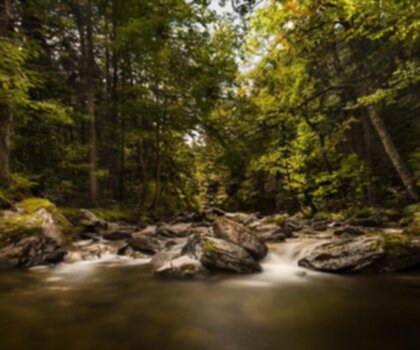
Parc régional du Massif du Sud
Chaudière-Appalaches
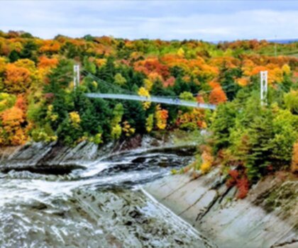
Parc des Chutes-De-La-Chaudières
Chaudière-Appalaches

Domaine Joly-De Lotbinière
Chaudière-Appalaches

Domaine du Radar
Chaudière-Appalaches

Zec JARO
Chaudière-Appalaches
Hiking near Quebec City
40 trails to explore ~82 km away
We work hard to provide the most up-to-date and error-free data possible. If something seems incorrect, let us know! Your contribution helps the whole community.
Hikers' opinions
Be the first to review!
No hiker has shared their experience yet. Share your impressions and help other hikers!