

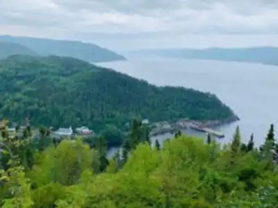
Ready to explore Sainte-Rose-Du-Nord? Here's everything you need to know before you go!
Discover the trail
Available trails
| Trails | Distance | Elevation | Duration | Difficulty | GPX |
|---|---|---|---|---|---|
| 1 km | 0 m | 15min | Beginner | ||
| 1 km | 0 m | 15min | Beginner |
Trail description
Soyez le premier à partager plus d'informations sur cet endroit.
Services and amenities
This information may vary by season.
Recommended gear for this trail


Ready to go?
Everything you need to know before you goStarting Point
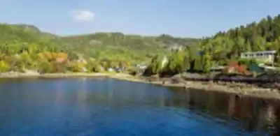
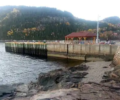
From Route 172, take Rue du Quai to Sainte-Rose-du-Nord.
In summer, you can park your car at the beginning of the entrance to the park and then drive up the steep slope of Chemin de la Montagne, accessible from the village of Sainte-Rose-du-Nord.
In winter, since this road is inaccessible by car, you must park your vehicle at the foot of the mountain and climb the first 800 meters on foot.
When?
How much?
- Hiking shoes Essential
- → Salomon Elixir Tour Mid WP · 203.38 $
- Layered clothing Essential
- Rain jacket Essential
- Trekking poles
- → Black Diamond Trail Ergo Cork · 69.99 $
- Headlamp
- → Petzl Actik Core 625 · 103.95 $
FAQ - Frequently asked questions
Everything you need to knowThe Essential Hiking Checklist
Everything you need for your next hike. Bilingual, printable, 1 page.
Download the free checklistSimilar hikes nearby
Discover other trails you might enjoy
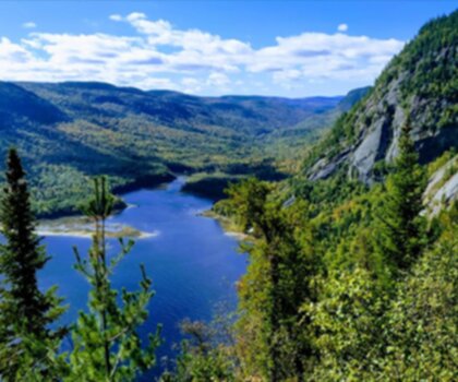
Parc National Du Fjord-du-saguenay
Saguenay - Lac-Saint-Jean
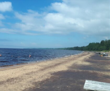
Parc National De La Pointe-taillon
Saguenay - Lac-Saint-Jean

Parc National Des Monts-valin
Saguenay - Lac-Saint-Jean

Les Sentiers Du Saguenay
Saguenay - Lac-Saint-Jean

Parc De La Rivière Du Moulin
Saguenay - Lac-Saint-Jean

Sentier Eucher
Saguenay - Lac-Saint-Jean
Hiking near Quebec City
40 trails to explore ~180 km away
We work hard to provide the most up-to-date and error-free data possible. If something seems incorrect, let us know! Your contribution helps the whole community.
Hikers' opinions