Official Selection
Updated March 2026
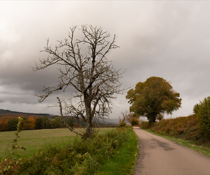
Top 10 Best Hiking Trails in in Côte-d'Or
Our selection of the most beautiful trails in the region. Ranking based on 10+ hiker reviews.
2 selected trails
10+ reviews
Want to explore more?
Discover all 2 hiking trails in Côte-d'Or with filters and interactive map.
See all trailsFrequently Asked Questions
Quickly find answers to your questions
Do you have another question?