
Ready to explore Head of Falls and RiverWalk? Here's everything you need to know before you go!
Discover the trail

Trail description
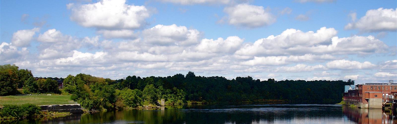
Head of Falls is a riverfront site in Waterville, Maine, on the Kennebec River. According to the City of Waterville, the Canibas, a tribe of the Wabanaki, lived along this stretch of the river, and their village, Teconnet, was a trading centre until it was burned in 1692. The area was known as Teconnet Falls, later Ticonic Falls.
The Two Cent Bridge
A pedestrian footbridge was built in 1901. It washed away in 1902, and a replacement was completed about a year later. The City calls it the last surviving toll footbridge in America. It was added to the National Register of Historic Places in 1973. Repairs in 2010-11 raised the Waterville approach by 3 feet and rebuilt the foundation to allow ADA access. The City's history of the site also includes Two Cent Plaza, a plaza leading to the bridge; in 2010 the City hired a landscape design firm as part of a proposal to create it.
From mills to urban renewal
- Water-powered mills were built on the western shore below Ticonic Falls.
- The Waterville Iron Works was built at Head of Falls in 1896, as a foundry and machinery business especially serving pulp and paper mills.
- Riverview Worsted, later Wyandotte Worsted, operated a woolen mill on the site from the early 1900s until the late 1960s.
- In the late 1960s an urban renewal project razed the buildings, and the property then served as a City snow dump for many years.
- A comprehensive planning effort later produced a Riverfront Master Plan.
On the ground
Maine by Foot lists a 19-acre site with about a mile of trails and rates it easy. The main manicured area has a paved path and benches, a granite amphitheatre, sculptures reflecting the city's past and history panels, and a rougher path continues about half a mile upriver. Its quick facts list pets as permitted. The access road is off Front Street, across from Temple Street.
Everything you need for your next hike. Bilingual, printable, 1 page.
Get your free hiking checklistRecommended gear for this trail
As an Amazon Associate I earn from qualifying purchases.


Ready to go?
Everything you need to know before you goStarting Point
Head of Falls is in Waterville, Maine, on the Kennebec River. Maine by Foot places the park's access road off Front Street, directly opposite Temple Street. The City of Waterville says a parking area was developed at the site as part of its infrastructure work.
When?
As an Amazon Associate I earn from qualifying purchases.
Affiliate links — LGPO may earn a commission at no extra cost to you.
- Hiking shoes Essential
- → Salomon Elixir Tour Mid WP · 203.38 $
- Layered clothing Essential
- Rain jacket Essential
- Trekking poles
- → Black Diamond Trail Ergo Cork · 69.99 $
- Headlamp
- → Petzl Actik Core 625 · 103.95 $
FAQ - Frequently asked questions
Everything you need to knowOutings near Head of Falls and RiverWalk
Discover other trails you might enjoy

Mount Phillip
Kennebec Valley · 20.8 km away

A Trail McGaffney Mountain Trail
Kennebec Valley · 23.6 km away

McGaffey Mountain, Maine
Kennebec Valley · 26.5 km away
Lake St. George State Park
Mid-Coast · 28.1 km away

Cunningham Mountain, Maine
Kennebec Valley · 30.7 km away

Frye Mountain, Maine
Kennebec Valley · 33.7 km away
Hiking near Bangor
108 trails to explore ~73 km away
We work hard to provide the most up-to-date and error-free data possible. If something seems incorrect, let us know! Your contribution helps the whole community.
Hikers' opinions
Be the first to review!
No hiker has shared their experience yet. Share your impressions and help other hikers!