


Ready to explore Warwick City Park? Here's everything you need to know before you go!
Discover the trail

Trail description
Warwick City Park offers 126 acres of diverse outdoor recreation along Greenwich Bay's shoreline in Rhode Island. This waterfront park combines hiking trails, cycling paths, and bay views in a setting that attracts both serious outdoor enthusiasts and families looking for accessible nature experiences.
Trail System and Terrain
The park's 2.4-kilometer trail network accommodates hikers of all experience levels through well-maintained paths that wind through varied terrain. With only 10 meters of elevation gain across the entire system, these easy trails focus on distance and scenic enjoyment rather than challenging climbs. Most hikers complete the full trail system in about 40 minutes, though many choose to extend their visit by exploring multiple routes or combining hiking with other park activities.
The terrain shifts between wooded sections with lush canopy cover and open areas that offer unobstructed views of Greenwich Bay. The forest portions feature typical Rhode Island coastal woodland, with dense undergrowth that creates natural corridors along the trail. These shaded sections provide relief during warmer months and create intimate hiking experiences where the sounds of the bay fade into rustling leaves and bird calls.
As trails emerge from the wooded areas, hikers encounter the park's most distinctive feature: direct access to Greenwich Bay's shoreline. The waterfront sections offer expansive views across the bay, with gentle waves providing a constant soundtrack. The flat topography means these scenic stretches are accessible to most visitors, making the park's best views available without technical hiking skills or significant physical demands.
Trail surfaces remain well-maintained throughout the year, with clear markings that make navigation straightforward even for first-time visitors. The relatively short distances and gentle terrain make this an ideal location for families introducing children to hiking, or for anyone seeking a peaceful outdoor experience without the commitment required by more challenging trail systems.
Wildlife and Natural Features
The park's position along Greenwich Bay creates habitat diversity that supports both woodland and waterfront wildlife. Bird watching opportunities are particularly strong here, with species that favor both forest edges and coastal environments. Small mammals are commonly spotted throughout the wooded trail sections, especially during early morning and late afternoon visits when wildlife activity peaks.
The bay shoreline attracts waterfowl and shorebirds, particularly during migration periods. The mixing of freshwater runoff with saltwater creates productive feeding areas that draw various bird species throughout the year. Patient observers often spot wildlife from the waterfront trail sections without needing specialized equipment or extensive hiking to reach prime viewing areas.
The coastal woodland ecosystem provides habitat for typical southern New England species, while the shoreline environment supports different communities of plants and animals adapted to saltwater influence. This diversity means hikers can observe distinct ecological zones within a single, easily walkable area.
Cycling and Multi-Use Opportunities
Beyond hiking, the park features a dedicated bike path that follows a different route through the landscape, allowing cyclists to experience the park's varied environments without conflicting with foot traffic. This path winds through the park's most scenic areas, providing cyclists with their own access to both wooded sections and bay views.
The bike path's design makes it suitable for various cycling styles, from casual family rides to more focused fitness cycling. The relatively flat terrain and well-maintained surface accommodate standard bikes, making this accessible to visitors who don't own specialized equipment. The path's length and gentle terrain also make it popular with families introducing children to longer bike rides in a safe, contained environment.
The separation of hiking and cycling routes enhances the experience for both user groups, allowing hikers to enjoy peaceful trail experiences while giving cyclists smooth, uninterrupted paths through the same scenic landscapes.
Facilities and Visitor Experience
Warwick City Park extends beyond trails to offer comprehensive recreational facilities. Sports fields provide space for organized activities, while playground equipment makes the park particularly appealing to families with young children. These facilities mean that groups with mixed interests can spend extended time at the park, with some members hiking or cycling while others use the recreational amenities.
The park's design encourages picnicking, particularly along the Greenwich Bay shoreline where tables and open areas provide scenic spots for meals. The waterfront location makes these picnic areas especially popular, offering visitors the chance to combine hiking with relaxed dining overlooking the bay. The proximity of trails to these facilities means hikers can easily transition between active exploration and rest periods.
Most visitors find that 2 to 3 hours provides adequate time to experience the park's main features, though this can vary significantly based on chosen activities. Hikers focusing solely on the trail system might complete their exploration more quickly, while those combining hiking with picnicking, wildlife observation, or cycling typically spend the full duration.
Planning Your Visit
The park's 126-acre size means that even busy days rarely feel crowded on the trails, though the waterfront areas and facilities may see higher concentrations of visitors during peak times. The multiple trail options allow hikers to find quieter routes even when the park is well-used.
The waterfront location influences weather conditions, with bay breezes providing cooling during summer months but potentially creating windier conditions than inland locations. The relatively open terrain along the shoreline offers little wind protection, making appropriate clothing important during cooler months or windy conditions.
The easy difficulty rating and short duration make this park suitable for spontaneous visits or as part of longer regional outdoor itineraries. The combination of accessibility and scenic quality means visitors can enjoy a satisfying outdoor experience without extensive planning or specialized gear.
Regional Context
Within Rhode Island's outdoor recreation landscape, Warwick City Park stands out for its combination of accessibility and waterfront access. While the state offers more challenging hiking in areas with significant elevation gain, few locations provide the same easy access to quality bay views and diverse recreational opportunities in a single location.
The park serves as an excellent introduction to Rhode Island's coastal environments for visitors unfamiliar with the region. The trail system provides a representative sample of local ecosystems without requiring the time commitment or physical demands of more remote locations. For local residents, the park offers convenient access to quality outdoor recreation without extensive travel.
The community atmosphere that develops around the park's diverse facilities creates a welcoming environment for newcomers to hiking or cycling. The presence of families and recreational users alongside more serious outdoor enthusiasts provides a supportive setting for people building confidence in outdoor activities.
The Essential Hiking Checklist
Everything you need for your next hike. Bilingual, printable, 1 page.
Get your free hiking checklistRecommended gear for this trail
As an Amazon Associate I earn from qualifying purchases.


Ready to go?
Everything you need to know before you goStarting Point
To access the hiking trails, head to the main entrance located at 185 Asylum Road, Warwick, RI 02886. There is a parking lot available near the trailheads.
When?
How much?
As an Amazon Associate I earn from qualifying purchases.
Affiliate links — LGPO may earn a commission at no extra cost to you.
- Hiking shoes Essential
- → Salomon Elixir Tour Mid WP · 203.38 $
- Layered clothing Essential
- Rain jacket Essential
- Trekking poles
- → Black Diamond Trail Ergo Cork · 69.99 $
- Headlamp
- → Petzl Actik Core 625 · 103.95 $
FAQ - Frequently asked questions
Everything you need to knowSimilar hikes nearby
Discover other trails you might enjoy

Stepstone Falls Waterfall and Hiking Paths
South County
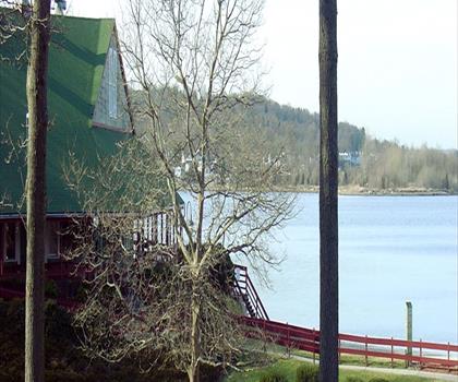
Goddard Memorial State Park
South County

Ryan Park
South County

Swamp Meadow Covered Bridge
South County
Buck Hill Management Area
South County
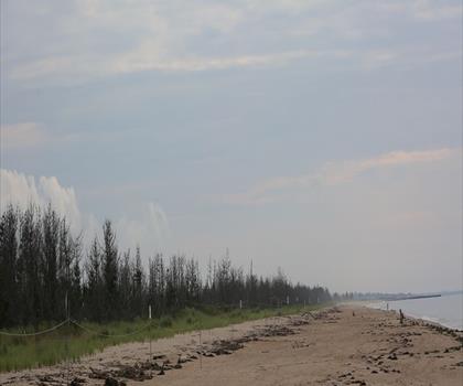
Burlingame State Park
South County
Hiking near Providence
0 trails to explore ~14 km away
We work hard to provide the most up-to-date and error-free data possible. If something seems incorrect, let us know! Your contribution helps the whole community.
Hikers' opinions
Be the first to review!
No hiker has shared their experience yet. Share your impressions and help other hikers!