

Ready to explore Blanca Lake? Here's everything you need to know before you go!
Discover the trail
Trail description
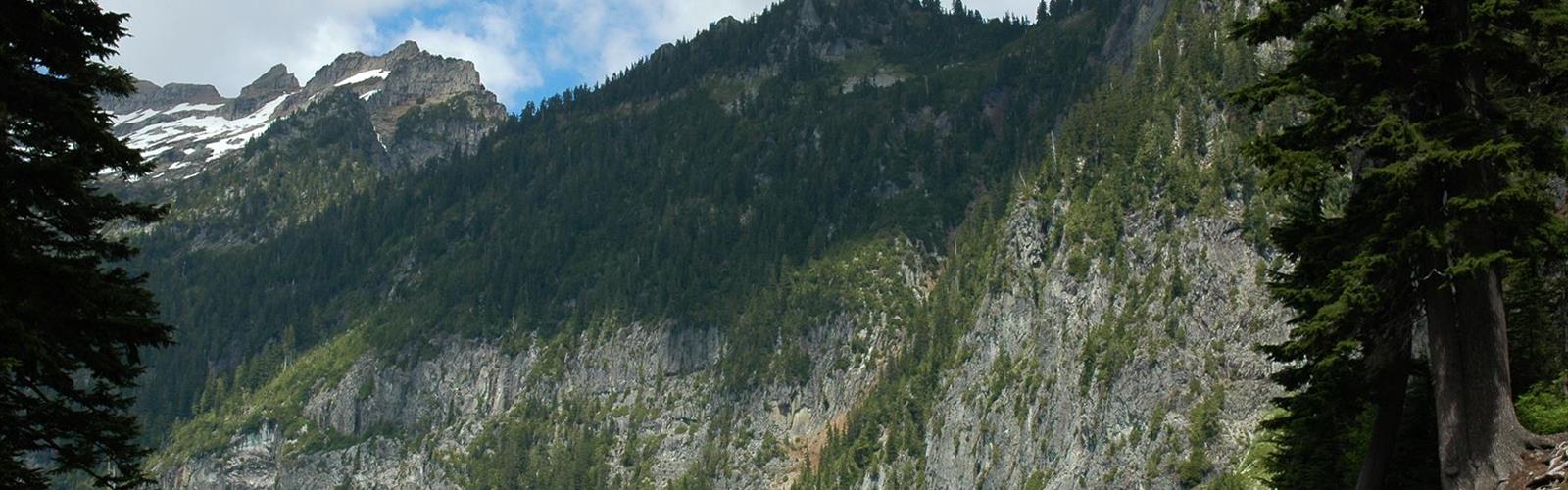
Blanca Lake is one of the most rewarding destinations in the Puget Sound Lowlands region of Washington State. Tucked into the Henry M. Jackson Wilderness, this high alpine lake sits at the base of Monte Cristo Peak and is fed by the Columbia Glacier — giving the water its striking turquoise-blue color that makes it instantly recognizable. It's the kind of place that earns its reputation.
The Trail
The Blanca Lake Trail is a challenging out-and-back route that gains significant elevation before dropping down to the lakeshore. The climb is relentless in sections — the trail wastes no time getting steep after the trailhead — but the payoff at the top is hard to argue with. Hikers pass through dense old-growth forest on the way up, with the canopy eventually giving way to open subalpine terrain as you approach the ridge. From the ridge, you get your first views of the surrounding peaks before descending to the lake itself.
The trail surface is mostly dirt and rock, with rooted sections through the forested lower portion. Some areas can be muddy well into summer depending on snowmelt. Trekking poles are genuinely useful here, especially on the descent back out.
Blanca Lake Itself
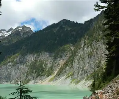
The lake is the main event, and it delivers. The glacial flour suspended in the water gives Blanca Lake its vivid blue-green color — something you don't fully appreciate until you're standing at the shore. The lake is surrounded by steep rocky slopes and the remnants of the Columbia Glacier above. It's a dramatic alpine setting that feels remote even though the trailhead is accessible from the greater Seattle area.
There's a small beach area at the lakeshore where hikers typically stop to eat, rest, and take in the scenery. The water is cold — glacier-fed cold — so swimming is possible for the bold but not exactly comfortable.
Camping
Blanca Lake has designated campsites near the shore, making it a solid overnight destination. Camping here lets you experience the lake in the early morning light before the day hikers arrive, which is worth it. A Northwest Forest Pass or equivalent federal recreation pass is required for parking at the trailhead. Overnight visitors need a valid wilderness permit for the Henry M. Jackson Wilderness — check current requirements with the Mount Baker-Snoqualmie National Forest before your trip, as permit systems and availability can change season to season.
Season and Conditions
The trail is typically accessible from mid-summer through early fall. Snow lingers on the upper portions of the trail and on the ridge well into July most years, and can return by October. The window of ideal conditions — snow-free trail, stable weather, peak wildflower bloom on the upper slopes — is roughly July through September. Early season hikers should be prepared for snow travel and potentially icy conditions on the ridge.
The trailhead is located off the Index-Galena Road (Forest Road 63) northeast of Index, Washington. The road itself can be rough in spots, but is generally passable for standard vehicles. Check road conditions before heading out, particularly early in the season.
What to Know Before You Go
- Parking pass required: A Northwest Forest Pass or America the Beautiful pass is needed at the trailhead.
- Wilderness permit: Required for overnight stays in the Henry M. Jackson Wilderness.
- Leave No Trace: The lakeshore area sees heavy use in summer — pack out all waste and camp only in designated sites.
- Water: Water is available from the lake and streams but must be filtered or treated.
- Cell service: Expect little to none once you leave the Index area.
- Dogs: Permitted on leash.
Blanca Lake sits in a part of Washington that rewards the effort it takes to get there — the elevation gain is real, but so is the view of that glacier-fed water from the ridge on the way down.
The Essential Hiking Checklist
Everything you need for your next hike. Bilingual, printable, 1 page.
Get your free hiking checklistRecommended gear for this trail
As an Amazon Associate I earn from qualifying purchases.


Ready to go?
Everything you need to know before you goWhen?
How much?
As an Amazon Associate I earn from qualifying purchases.
Affiliate links — LGPO may earn a commission at no extra cost to you.
- Hiking shoes Essential
- → Salomon Elixir Tour Mid WP · 203.38 $
- Layered clothing Essential
- Rain jacket Essential
- Trekking poles
- → Black Diamond Trail Ergo Cork · 69.99 $
- Headlamp
- → Petzl Actik Core 625 · 103.95 $
FAQ - Frequently asked questions
Everything you need to knowSimilar hikes nearby
Discover other trails you might enjoy

Hiking near Victoria
93 trails to explore ~151 km away
We work hard to provide the most up-to-date and error-free data possible. If something seems incorrect, let us know! Your contribution helps the whole community.
Hikers' opinions
Be the first to review!
No hiker has shared their experience yet. Share your impressions and help other hikers!