
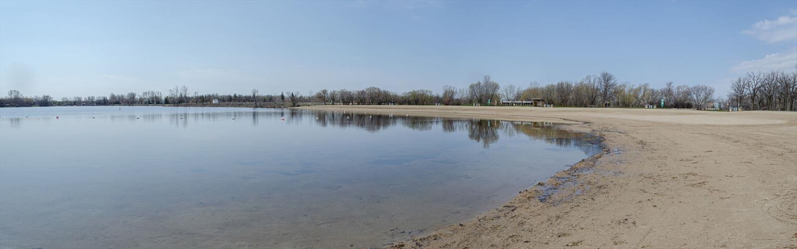

Ready to explore St. Malo Provincial Park? Here's everything you need to know before you go!
Discover the trail
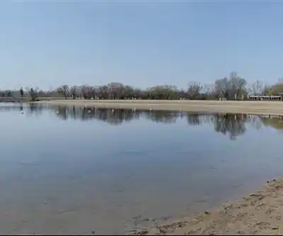
Trail description
St. Malo Provincial Park sits about an hour south of Winnipeg in Manitoba's Eastman Region, making it one of the more accessible natural escapes from the city. The park wraps around St. Malo Lake, and that lake is really the anchor for everything here — the trails, the wildlife, the best views. Despite being a relatively easy drive from a major urban center, the park has a genuine wilderness feel once you're on the trail and away from the day-use areas.
The landscape here reflects Manitoba's transitional geography in an interesting way. You move through stands of trembling aspen and bur oak that gradually give way to spruce and fir as you get closer to the water. That shift in vegetation means the scenery changes noticeably even on a short outing, which keeps things engaging. Open meadows, shaded forest sections, and shoreline stretches all show up within the same walk.
The Hiking
The trail network at St. Malo is well-suited to the easy end of the difficulty spectrum. With around 3 km of hiking and only about 50 metres of elevation gain, you're looking at roughly 45 minutes of walking at a comfortable pace — though most people end up spending more time once they hit the lake and find a good spot to sit. The grades are gentle throughout, and the terrain is mostly packed earth and natural surfaces. There are some rocky sections near the water and occasional boardwalks through wetter low-lying areas, but nothing that requires special footwear or technical skill.
The trails are interconnected enough that you can adjust your route on the fly depending on how much time you have or where you want to end up. Families with young kids do well here — the manageable distances and lack of serious climbs mean even smaller children can handle the full loop without too much trouble.
St. Malo Lake and the Shoreline
The lake is the clear highlight of any visit. St. Malo Lake is clean and spring-fed, and the trails follow the shoreline closely enough that you're catching glimpses of the water through the trees for much of the hike before breaking out at open viewpoints. The shoreline itself varies quite a bit — sandy beaches in some sections, rockier and more rugged stretches in others. Both have their appeal depending on whether you're looking for a swim or just a quiet place to watch the water.
The sandy beach areas are natural rest stops and work well as picnic spots. The western shore in particular offers good sunset views, with the light reflecting off the lake in ways that change dramatically through the afternoon. If you're bringing a camera, plan to be out near the water during the golden hour.
Wildlife
The mix of habitats — forest, meadow, and lake edge — supports a solid variety of wildlife. White-tailed deer are a common sight, especially in the meadows during early morning or late afternoon. The lake draws common loons, great blue herons, and various duck species, and the surrounding forest has the usual mix of woodpeckers, nuthatches, and seasonal migrants. Birdwatchers will find the shoreline sections particularly productive.
Along the water's edge, beavers maintain active lodges in quieter sections of the lake, and patient observers might spot mink or muskrat during low-light hours. Chipmunks and red squirrels are a constant presence in the forested sections.
Beyond the Trails
Hiking is the main draw, but the park supports a full day of activity. Swimming is popular during summer, with the sandy beaches warming up well and the lake water staying clear. Fishing is also a legitimate option — St. Malo Lake holds northern pike, walleye, and perch, and the varied shoreline gives anglers plenty of spots to work. A valid Manitoba fishing license is required before you cast.
Picnic areas are positioned to take advantage of the lake views and come equipped with tables, fire pits, and nearby washroom facilities. These spots work well as a base for families who want to mix hiking with some time at the water.
Getting There and Seasonal Access
The park is open year-round, and each season brings something different. Summer is the classic visit — warm enough for swimming, trails in good shape, wildlife active. Fall is arguably the best time for hiking: the mixed forest turns with golden aspen and the cooler temperatures make for comfortable walking. Winter converts the trail network into snowshoe and cross-country ski terrain, and the frozen lake opens up additional exploration. Spring brings wildflower blooms and active wildlife as the park comes back to life after the cold months.
The roughly one-hour drive from Winnipeg makes St. Malo Provincial Park a realistic option for a half-day or full-day trip without needing to plan around an overnight stay.
The Essential Hiking Checklist
Everything you need for your next hike. Bilingual, printable, 1 page.
Get your free hiking checklistRecommended gear for this trail
As an Amazon Associate I earn from qualifying purchases.


Ready to go?
Everything you need to know before you goStarting Point
The start of the trails at the st. malo provincial park in Manitoba can be accessed by travelling east on Highway 59 from Winnipeg, and then turning north onto PR 210 at the junction of Highway 59 and PR 210. The park is located approximately 33 kilometres north of the junction of Highway 59 and PR 210.
When?
How much?
As an Amazon Associate I earn from qualifying purchases.
Affiliate links — LGPO may earn a commission at no extra cost to you.
- Hiking shoes Essential
- → Salomon Elixir Tour Mid WP · 203.38 $
- Layered clothing Essential
- Rain jacket Essential
- Trekking poles
- → Black Diamond Trail Ergo Cork · 69.99 $
- Headlamp
- → Petzl Actik Core 625 · 103.95 $
FAQ - Frequently asked questions
Everything you need to knowSimilar hikes nearby
Discover other trails you might enjoy
Falcon Lake
Eastern Region
Pine Point Rapids
Eastern Region
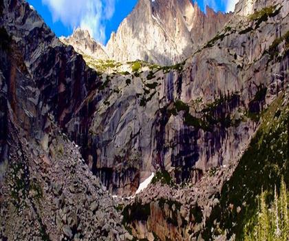
Black Lake
Eastern Region
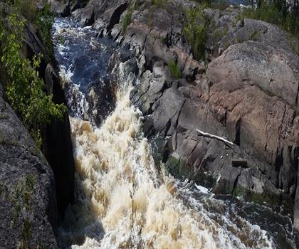
Whitemouth Falls Provincial Park
Eastern Region
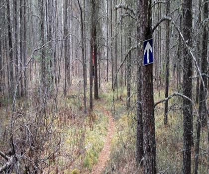
Mantario Trail
Eastern Region
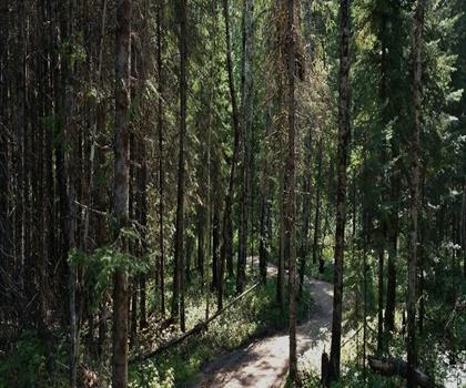
Falcon Trails Resort
Eastern Region
Hiking near Winnipeg
17 trails to explore ~66 km away
We work hard to provide the most up-to-date and error-free data possible. If something seems incorrect, let us know! Your contribution helps the whole community.
Hikers' opinions
Be the first to review!
No hiker has shared their experience yet. Share your impressions and help other hikers!