
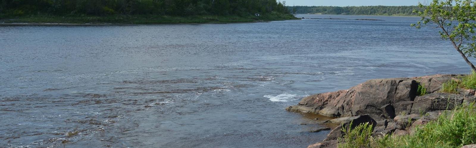

Ready to explore Whiteshell Provincial Park? Here's everything you need to know before you go!
Discover the trail
Trail description
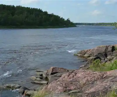
Whiteshell Provincial Park covers 2,700 square kilometers of Manitoba's Canadian Shield country, making it one of the province's most varied and rewarding hiking destinations. The landscape here is shaped by ancient geological forces—granite outcrops push up through dense boreal forest, while a network of lakes and wetlands fills the low ground between rocky ridges. That combination of terrain types means the hiking experience shifts dramatically depending on which corner of the park you're exploring.
The park sits in a transition zone where prairie gives way to boreal forest, and that ecological crossover shows up clearly on the trails. Towering white and red pines dominate the canopy in many areas, while the understory alternates between dense spruce and fir stands and open patches carpeted with blueberries and Labrador tea. Rocky outcrops break through the tree cover at regular intervals, offering natural viewpoints over lake country that stretches as far as you can see. With 60 kilometers of trail spread across this terrain and an elevation change of up to 200 meters, there's enough variety here to keep hikers coming back across multiple visits.
Featured Trails
The Hunt Lake Trail is Whiteshell's most demanding option and the one that best captures what Canadian Shield hiking actually feels like. The route covers 12.6 kilometers round-trip and doesn't ease you in gently—within the first kilometer, you're already navigating rocky ridges and threading through dense conifer stands. The trail follows ancient granite formations, which means a lot of scrambling over and around boulders rather than walking a smooth path. Good fitness and solid route-finding skills matter here.
What makes Hunt Lake Trail worth the effort is the way it opens up onto exposed granite ridges with panoramic views across the wilderness. From those high points, you can see crystal-clear lakes stretching to the horizon, broken up by forested islands and distant ridgelines. It's the kind of view that puts the scale of Whiteshell's lake country into perspective in a way that no trailhead sign can prepare you for.
For a completely different experience, the Pine Point Rapids Trail offers a 2.8-kilometer loop that's accessible to most fitness levels. The grade stays gentle throughout, the forest floor is soft underfoot, and the canopy filters sunlight into shifting patterns that make the walk feel unhurried. The trail's highlight is the rapids section, where water tumbles over granite ledges in a series of cascades, creating natural pools and a constant background of moving water. Smooth rock surfaces near the rapids provide natural seating, and the combination of sound, shade, and flowing water makes this one of the park's most genuinely relaxing spots.
Wildlife and Natural Features
Whiteshell's mix of habitats supports a wide range of wildlife, and encounters on the trail are common enough that it's worth paying attention as you walk. White-tailed deer move through the park regularly, most often visible in early morning or late afternoon near the edges of forest cover. Black bears are present in the deeper forest areas and occasionally cross trails, particularly during berry season when they're focused on building up reserves before winter—standard bear awareness practices apply.
Moose are the most impressive wildlife sighting the park offers, though they require patience. They favor wetland areas and shallow bays where aquatic vegetation grows thick, so trails near water features give you the best odds, especially in the early morning hours. The park's bird life is equally worth watching for—common loons call across the lakes, woodpeckers work the mature trees along most trail corridors, and bald eagles and osprey hunt over the larger water bodies. The boreal forest understory supports a steady population of songbirds that provide a constant backdrop of sound through the hiking season.
Lakes and Water Features
The lakes are as central to the Whiteshell experience as the trails themselves. Many of the park's water bodies have gradually sloping shorelines and clear water that stays cool through the summer, making them genuinely inviting for swimming after a long day on rocky terrain. The Canadian Shield shorelines—flat granite slabs angling into the water—double as comfortable spots for sitting and drying off.
For hikers who want to extend their time outdoors, many of Whiteshell's lakes connect through short portages, opening up paddling routes that reach bays and shorelines no trail can access. Combining a day of hiking with an evening on the water gives you a much fuller picture of what the park actually contains. After a demanding route like Hunt Lake, dropping into a quiet lake at the end of the day is a hard combination to beat.
Planning Your Visit
Whiteshell works well for both day trips and extended stays. The park's network of campgrounds is spread across the area in a way that keeps most trailheads within reasonable reach of where you're sleeping, and the lodges scattered throughout the park provide an alternative for those who prefer a roof overhead. For multi-day hikers, the combination of established camping facilities and 60 kilometers of trail means you can put together varied itineraries without covering the same ground twice.
The trail system connects naturally to the accommodation options, so it's straightforward to plan routes that start and end near your campsite or to string together longer days that take advantage of the park's full size. Whether you're here for a single challenging hike or a week of mixed hiking and paddling, Whiteshell has enough terrain and enough infrastructure to support serious time outdoors without feeling crowded or over-managed.
The Essential Hiking Checklist
Everything you need for your next hike. Bilingual, printable, 1 page.
Get your free hiking checklistRecommended gear for this trail
As an Amazon Associate I earn from qualifying purchases.


Ready to go?
Everything you need to know before you goStarting Point
The start of the trails at the whiteshell provincial park in Manitoba can be accessed by taking Highway #1 east from Winnipeg to the town of Pinawa. From there, take Highway #11 north to the park.
When?
How much?
As an Amazon Associate I earn from qualifying purchases.
Affiliate links — LGPO may earn a commission at no extra cost to you.
- Hiking shoes Essential
- → Salomon Elixir Tour Mid WP · 203.38 $
- Layered clothing Essential
- Rain jacket Essential
- Trekking poles
- → Black Diamond Trail Ergo Cork · 69.99 $
- Headlamp
- → Petzl Actik Core 625 · 103.95 $
FAQ - Frequently asked questions
Everything you need to knowSimilar hikes nearby
Discover other trails you might enjoy
Falcon Lake
Eastern Region
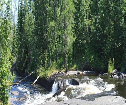
Pine Point Rapids
Eastern Region
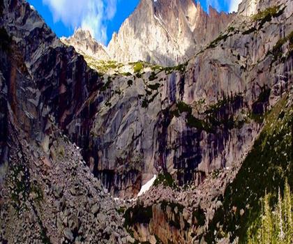
Black Lake
Eastern Region
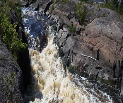
Whitemouth Falls Provincial Park
Eastern Region
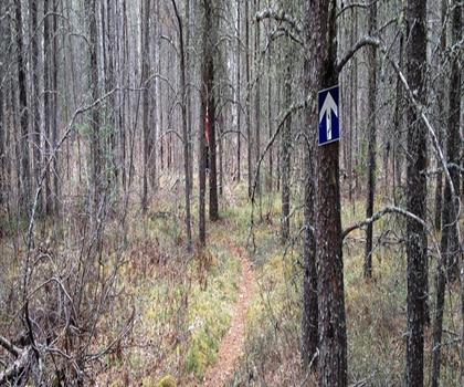
Mantario Trail
Eastern Region
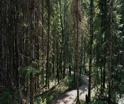
Falcon Trails Resort
Eastern Region
Hiking near Winnipeg
17 trails to explore ~119 km away
We work hard to provide the most up-to-date and error-free data possible. If something seems incorrect, let us know! Your contribution helps the whole community.
Hikers' opinions
Be the first to review!
No hiker has shared their experience yet. Share your impressions and help other hikers!