


Ready to explore Gould Lake? Here's everything you need to know before you go!
Discover the trail
Oh no! We don't have any photos 😢
This trail hasn't been captured yet. Be the first to share your adventure!Trail description
Gould Lake sits in the transition zone between the Haliburton Highlands and the Ottawa Valley, a stretch of Ontario that delivers classic Canadian Shield scenery without requiring a long drive into the backcountry. The lake anchors the experience here — it's the kind of spot where you can spend a full day hiking the surrounding trails, then cool off with a swim or take a paddle before heading home. That combination of forest hiking and genuine lake access is what sets this destination apart from purely trail-focused parks in the region.
Trail System and Terrain
The trail network around Gould Lake is well-marked and maintained, built to accommodate a range of abilities. The system winds through mixed forest — maple, birch, and pine — where the canopy keeps things comfortable on warm summer days. Sections of trail run directly along the shoreline, giving you continuous views across the water and easy access to the lake edge throughout your hike.
The terrain reflects the geology of the Canadian Shield: rocky outcrops, exposed bedrock, and occasional boulders mixed with softer forest floor sections deeper in the woods. The trail system involves roughly 200 metres of elevation gain overall, spread across the network rather than concentrated in a single steep climb. That means you'll feel the terrain working under your feet without facing anything that demands technical skill or specialized gear.
Trail surfaces shift between packed earth in the forested sections and rockier paths near the water. The shoreline portions tend to be the flattest and most accessible, making them a good choice for families with younger kids or anyone who prefers a more relaxed pace. For the rockier sections near the lake, footwear with solid grip makes a real difference — trail runners or hiking boots are the right call over casual sneakers.
Wildlife and Natural Features
The mixed forest and lake environment here supports a solid variety of wildlife. Deer are a regular sighting in the open areas bordering some trail sections, especially during early morning and late afternoon. The forest draws a good range of bird species, from songbirds in the understory to raptors occasionally working the thermals above the tree line.
The lake and its surrounding wetland edges are worth slowing down for if you're into birdwatching. Loons, ducks, and other waterfowl use the area regularly, and a pair of binoculars will improve your chances of getting a proper look without disturbing them. Chipmunks and squirrels are constant trail companions through the wooded sections, and wildflowers appear along the paths during the warmer months.
The light conditions around the lake — particularly in the early morning and evening — make for strong photography. The combination of open water, forest edge, and sky gives you a lot to work with regardless of the season.
Water Activities and Lake Access
The lake itself is a genuine draw, not just a backdrop. The calm, protected waters are well-suited for kayaking and canoeing, with easy launch points and conditions that work for both beginners and more experienced paddlers. The size of the lake gives you enough room to explore without feeling like you've run out of water quickly.
Swimming is popular through the warmer months. The water is clear, the lake bottom is generally clean, and several spots around the shoreline offer straightforward access for getting in and out. After a few hours on the trails, a swim here feels well-earned. Motorboat traffic is minimal, which keeps the atmosphere on the water quiet and makes paddling and swimming more enjoyable.
Picnic Areas and Rest Spots
There are multiple picnic spots positioned around the lake, placed to take advantage of the best views and most comfortable settings. Some sit along the easier shoreline sections of the trail, making them accessible even for visitors who aren't planning a full hike. Others are tucked into the forest with partial lake views, offering shade and a quieter atmosphere.
These spots work well as midpoint breaks during a longer hike or as a base for families spending the day at the lake. The combination of lake views and forest surroundings makes them genuinely pleasant places to stop rather than just functional rest areas.
Planning Your Visit
Gould Lake is accessible from various points within the Haliburton Highlands to Ottawa Valley corridor, making it a practical destination for both local residents and visitors passing through the region. The location balances accessibility with a natural setting that feels removed from the everyday — you're not fighting for parking or navigating a crowded trailhead.
Trail conditions shift meaningfully with the seasons. Spring brings muddy sections as snowmelt works through the soil, and the trails can be soft in places. Summer offers the most predictable conditions and is the best time for water activities. Fall delivers strong foliage colour across the mixed forest, though wet leaves on the rocky sections add some slip factor worth keeping in mind. Winter changes the character of the area entirely, with the lake and surrounding forest taking on a quieter, more austere feel.
Pack enough water for your planned time on the trails, solid footwear, and layers — weather in this part of Ontario can shift faster than it looks like it will from the trailhead. Binoculars and a camera are worth the extra weight given the wildlife and scenery on offer.
The Essential Hiking Checklist
Everything you need for your next hike. Bilingual, printable, 1 page.
Get your free hiking checklistRecommended gear for this trail
As an Amazon Associate I earn from qualifying purchases.


Ready to go?
Everything you need to know before you goStarting Point
The gould lake trails are located in the town of Kearney, Ontario. To get to the start of the trails, take Highway 17 east from Toronto to the town of Kearney. Turn left onto County Road 10 and drive for 2 km until you reach the trailhead parking lot on the right side of the road.
When?
How much?
As an Amazon Associate I earn from qualifying purchases.
Affiliate links — LGPO may earn a commission at no extra cost to you.
- Hiking shoes Essential
- → Salomon Elixir Tour Mid WP · 203.38 $
- Layered clothing Essential
- Rain jacket Essential
- Trekking poles
- → Black Diamond Trail Ergo Cork · 69.99 $
- Headlamp
- → Petzl Actik Core 625 · 103.95 $
FAQ - Frequently asked questions
Everything you need to knowSimilar hikes nearby
Discover other trails you might enjoy

Grace Lake
Haliburton Highlands to the Ottawa Valley
Adventure Trail Gear
Haliburton Highlands to the Ottawa Valley
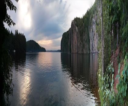
Mazinaw Lake
Haliburton Highlands to the Ottawa Valley
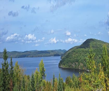
Kamaniskeg Lake
Haliburton Highlands to the Ottawa Valley
Blueberry Mountain Trail
Haliburton Highlands to the Ottawa Valley
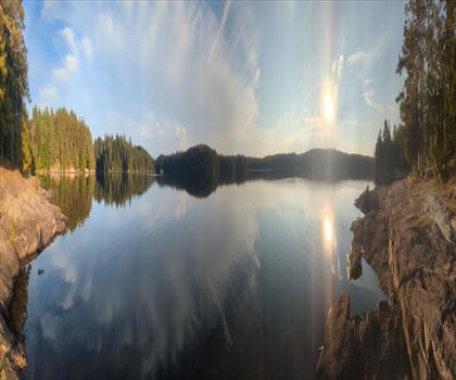
Silent Lake Provincial Park
Haliburton Highlands to the Ottawa Valley
Hiking near Ottawa
47 trails to explore ~126 km away
We work hard to provide the most up-to-date and error-free data possible. If something seems incorrect, let us know! Your contribution helps the whole community.
Hikers' opinions
Be the first to review!
No hiker has shared their experience yet. Share your impressions and help other hikers!