
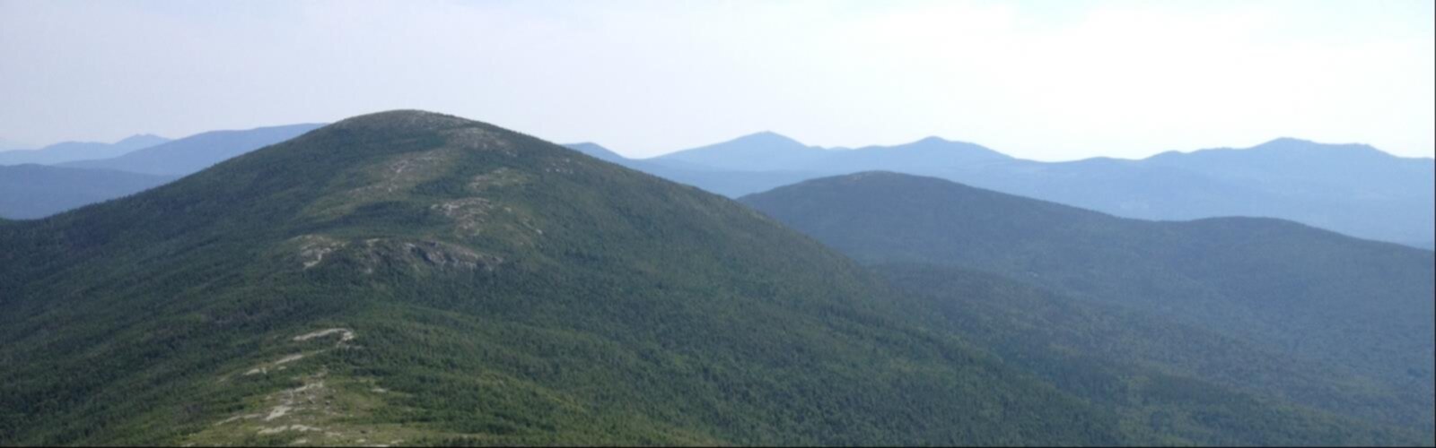

Ready to explore Saddleback Junior, Maine? Here's everything you need to know before you go!
Discover the trail
Oh no! We don't have any photos 😢
This trail hasn't been captured yet. Be the first to share your adventure!Trail description
Saddleback Junior rises to 3,655 feet in the Rangeley Lakes Region of western Maine, offering one of the most satisfying moderate hikes in the state. At 10.1 kilometers round-trip with 1,114 meters of elevation gain, it asks enough of you to feel like a real mountain day — without pushing into technical or extreme territory. Plan for around 5.5 hours on the trail.
The Climb
The trail starts in classic Maine forest — a dense mix of hardwoods and conifers where the canopy closes overhead and the light filters down in shifting patterns. It's a good warm-up section, steady underfoot and well-marked, giving your legs time to find their rhythm before the real climbing begins.
As you gain elevation, the forest starts to thin and the character of the trail shifts. The trees get shorter and more wind-shaped, the understory opens up, and you begin to catch your first glimpses of the surrounding ridgelines. This transition from enclosed woodland to open terrain is one of the more satisfying parts of the hike — you can feel the mountain opening up around you as you move higher.
The upper sections involve more exposed ridge walking, where the views start arriving in earnest and the wind picks up noticeably. The elevation gain is consistent throughout, with no single brutal pitch but also no long flat stretches to coast on. It's the kind of climb that keeps you honest the whole way up.
Summit Views
The payoff at the top is genuine. From Saddleback Junior's summit, the Rangeley Lakes spread out below you in every direction — a sprawling network of blue water set against dense forested shorelines that captures exactly what makes western Maine's lake country so distinctive. The scale of it only becomes clear from up here.
On a clear day, Mount Washington's profile is visible to the east, a reminder that you're standing in the middle of a much larger mountain system. The 360-degree panorama gives you forest, water, and distant peaks all at once, and the open summit terrain means there's plenty of room to find your own spot to sit, eat, and take it all in.
Wildlife Along the Way
The varied habitats on Saddleback Junior's slopes make for good wildlife watching throughout the hike. White-tailed deer are common in the forest clearings, especially in the early morning and late afternoon. Game trails crossing the main path are a regular reminder that you're sharing the mountain with more than just other hikers.
Birdlife is active across the different elevation zones. The lower mixed forest and the more exposed upper sections each host their own communities, so the soundtrack changes as you climb. The shift in forest composition — from maple and birch at lower elevations to hardier, wind-tolerant species near the summit — tells the story of the mountain's ecology as clearly as any field guide.
What to Bring
Sturdy hiking boots with solid ankle support are worth it here. The terrain is varied enough that trail runners can feel underpowered on the steeper or rockier sections. Carry more water than you think you'll need — the elevation gain and the exposed upper ridge both work against you in warmer weather.
Pack a real lunch. The summit is an excellent place to stop for a longer break, and having something substantial to eat makes the descent noticeably more enjoyable. Energy-dense snacks for the climb itself are a good idea too.
Mountain weather in Maine moves fast. Even when the valley is warm and sunny, summit conditions can be significantly cooler and windier. Layers are the right approach — moisture-wicking base layers, an insulating mid-layer, and a wind or rain shell that can go in your pack until you need it. Don't leave the shell behind just because it looks clear at the trailhead.
Good to Know
The trail is well-marked throughout, which keeps navigation straightforward. That said, carrying a map and knowing your route is still good practice — don't count on cell service or other hikers to bail you out if something goes sideways.
Saddleback Junior draws a solid mix of hikers, from families with older kids to experienced mountaineers using it as a warm-up day. Its moderate rating is accurate: it's a real hike with real elevation gain, but it doesn't require technical skills or extreme fitness. If you're comfortable on maintained mountain trails and have done a few longer day hikes, you'll be well-prepared for what this one asks of you.
The combination of lake views, genuine summit exposure, and accessible difficulty makes Saddleback Junior one of the more well-rounded hikes in the western Maine mountains — the kind of trail that earns its reputation through consistent delivery rather than hype.
The Essential Hiking Checklist
Everything you need for your next hike. Bilingual, printable, 1 page.
Get your free hiking checklistRecommended gear for this trail
As an Amazon Associate I earn from qualifying purchases.


Ready to go?
Everything you need to know before you goStarting Point
To access the hiking trails, you can start at the trailhead located on Route 4. The parking area is at the Appalachian Trail crossing near Madrid Township. Another option is to begin from the trailhead on Saddleback Mountain Road, which also provides access to nearby trails.
When?
How much?
As an Amazon Associate I earn from qualifying purchases.
Affiliate links — LGPO may earn a commission at no extra cost to you.
- Hiking shoes Essential
- → Salomon Elixir Tour Mid WP · 203.38 $
- Layered clothing Essential
- Rain jacket Essential
- Trekking poles
- → Black Diamond Trail Ergo Cork · 69.99 $
- Headlamp
- → Petzl Actik Core 625 · 103.95 $
FAQ - Frequently asked questions
Everything you need to knowSimilar hikes nearby
Discover other trails you might enjoy
Long Mountain
Western Mountains
Pleasant Mountain
Western Mountains
Witt's End Trail
Western Mountains
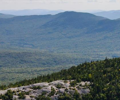
Tumbledown Mountain
Western Mountains

Bear Mountain Inn + Barn Maine
Western Mountains
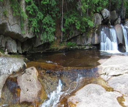
Screw Auger Falls
Western Mountains
Hiking near North Conway
0 trails to explore ~114 km away
We work hard to provide the most up-to-date and error-free data possible. If something seems incorrect, let us know! Your contribution helps the whole community.
Hikers' opinions
Be the first to review!
No hiker has shared their experience yet. Share your impressions and help other hikers!