
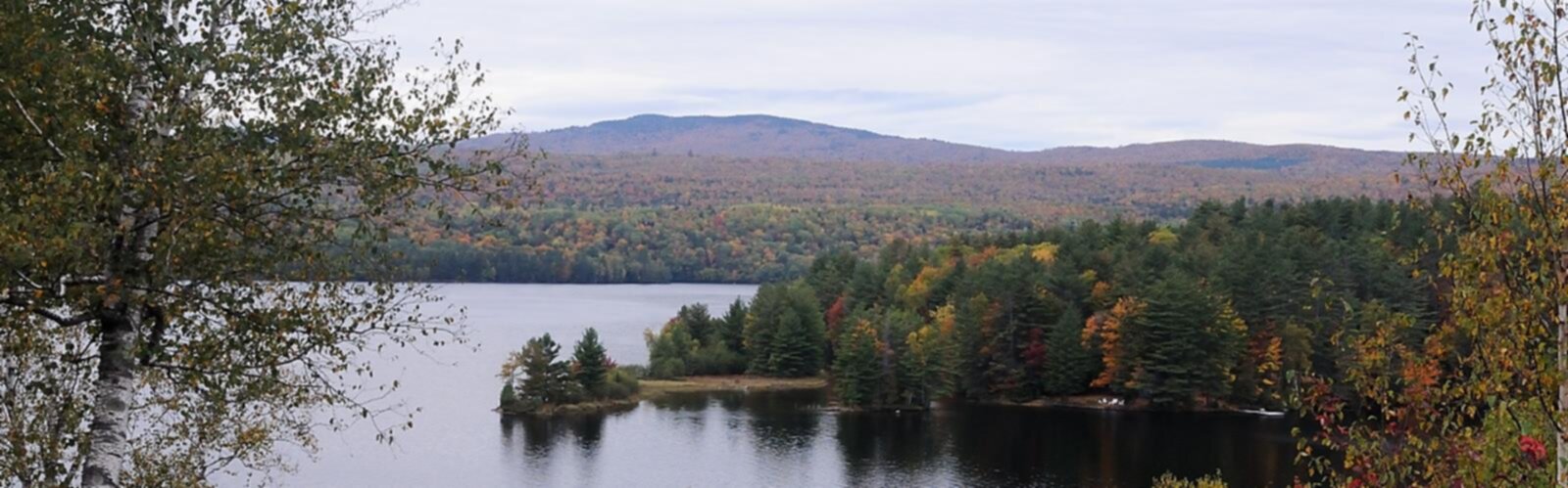

Ready to explore Wyman Mountain, Maine? Here's everything you need to know before you go!
Discover the trail
Oh no! We don't have any photos 😢
This trail hasn't been captured yet. Be the first to share your adventure!Trail description
Wyman Mountain sits in Maine's Western Mountains region and offers one of the more rewarding hikes in this part of the state. With 908 meters of elevation gain over 6.4 kilometers, it's a trail that asks something real of you — but delivers in kind. The estimated 3-hour round trip makes it a solid day hike that fits comfortably into a morning without requiring an alpine start.
The Trail Experience
From the trailhead, you step almost immediately into dense Maine woodland — a mix of towering white pines, hemlocks, and northern hardwoods that close in around you and set the tone for the climb ahead. The footing is generally good in the lower section, though you'll encounter the standard New England combination of exposed roots, embedded rocks, and the occasional muddy stretch after rain. None of it is technical, but it rewards paying attention to where you put your feet.
The ascent is steady throughout. The lower portion eases you in with a manageable grade that lets you find your rhythm and settle into the hike before the trail starts asking more of you. As you gain elevation, the path becomes more varied — winding between moss-covered boulders, crossing small seasonal drainages, and threading through sections where the forest feels genuinely wild. The middle stretch is where the climb earns its reputation, with sustained pitches that push your heart rate up and make the summit feel like something worth reaching.
Higher on the mountain, the forest composition shifts noticeably. Red spruce and balsam fir replace the hardwoods, and the air takes on that sharp, resinous quality that's unmistakably boreal. The trail gets more rugged and interesting here — exposed granite slabs, rocky ledges, and a few spots where you'll want to use your hands for balance. It's not technical climbing, but it adds a satisfying element of engagement to the final push. The summit approach involves some light scrambling over rock outcrops that feels like a natural finish to the climb.
Summit Views
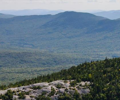
The top of Wyman Mountain opens up into the kind of panoramic view that justifies the effort. The rolling terrain of Maine's Western Mountains spreads out in every direction, with forested ridges stacking up toward the horizon and the distant profiles of New Hampshire's White Mountains visible on clear days. Hidden valleys, remote ponds catching the light, and the sheer scale of undeveloped forest give the summit a genuine sense of remoteness even though the hike itself is accessible.
Rocky outcrops near the summit make natural spots to sit, eat lunch, and take in the view without rushing. The elevation means there's usually a breeze up top — welcome after the climb, but worth packing an extra layer for, even in summer.
Wildlife and Natural Features
The varied habitats along Wyman Mountain's slopes support a solid cross-section of Maine wildlife. White-tailed deer are a common sight, especially in the early morning hours. Black bears inhabit the area as well, though encounters on the main trail are uncommon. The birdlife is one of the quieter pleasures of this hike — wood thrushes and hermit thrushes provide a near-constant soundtrack through the lower forest, while pileated woodpeckers announce themselves with their distinctive drumming. From the summit, hawks and the occasional eagle can be spotted working the thermals above the surrounding valleys.
The elevation gradient creates a natural progression through distinct plant communities. Lower slopes feature the mixed hardwood and conifer forest typical of northern Maine. Higher up, the boreal species take over — red spruce, balsam fir, mountain ash, and paper birch. In fall, the birch and mountain ash add real color to the upper trail, and the views from the summit during peak foliage are exceptional.
Planning Your Visit
The 3-hour estimate reflects a steady, comfortable pace with time for breaks. Hikers moving quickly might finish faster; those who prefer to linger on the summit or take their time on the descent should plan accordingly. Starting early is a good habit on any mountain hike — it keeps you ahead of afternoon weather, gives you the best chance of wildlife sightings, and means you're less likely to be sharing the summit with a crowd.
Trail conditions shift considerably with the seasons. Spring often means mud and the possibility of ice lingering at higher elevations well into May. Summer is the most straightforward season for conditions, though heat and humidity can make the sustained climb feel harder than the numbers suggest. Fall brings spectacular foliage and cooler temperatures, but also the busiest weekends of the year. Winter travel is possible for experienced hikers with appropriate gear — microspikes or snowshoes depending on snow depth — but the trail becomes a significantly different undertaking.
Water sources along the route are limited and not reliable, so carry everything you'll need from the trailhead. Given the 908 meters of climbing, most hikers will go through more water than they expect, particularly on warm days. Trailhead parking can fill up on peak fall weekends, so an early arrival is worth it both for the parking and for the experience.
The Essential Hiking Checklist
Everything you need for your next hike. Bilingual, printable, 1 page.
Get your free hiking checklistRecommended gear for this trail
As an Amazon Associate I earn from qualifying purchases.


Ready to go?
Everything you need to know before you goStarting Point
To access the hiking trails, you can start at the trailhead located on Stratton Brook Pond Road. From Route 27 in Carrabassett Valley, turn onto Carriage Road and follow it until you reach Stratton Brook Pond Road. Continue on this road to find parking near the trailhead.
When?
How much?
As an Amazon Associate I earn from qualifying purchases.
Affiliate links — LGPO may earn a commission at no extra cost to you.
- Hiking shoes Essential
- → Salomon Elixir Tour Mid WP · 203.38 $
- Layered clothing Essential
- Rain jacket Essential
- Trekking poles
- → Black Diamond Trail Ergo Cork · 69.99 $
- Headlamp
- → Petzl Actik Core 625 · 103.95 $
FAQ - Frequently asked questions
Everything you need to knowSimilar hikes nearby
Discover other trails you might enjoy
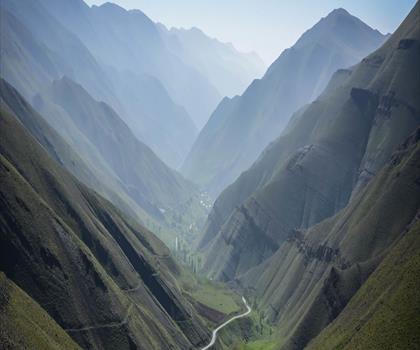
Long Mountain
Western Mountains
Pleasant Mountain
Western Mountains
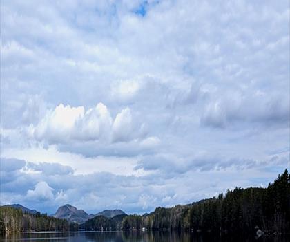
Witt's End Trail
Western Mountains
Tumbledown Mountain
Western Mountains

Bear Mountain Inn + Barn Maine
Western Mountains
Screw Auger Falls
Western Mountains
Hiking near North Conway
0 trails to explore ~73 km away
We work hard to provide the most up-to-date and error-free data possible. If something seems incorrect, let us know! Your contribution helps the whole community.
Hikers' opinions
Be the first to review!
No hiker has shared their experience yet. Share your impressions and help other hikers!