
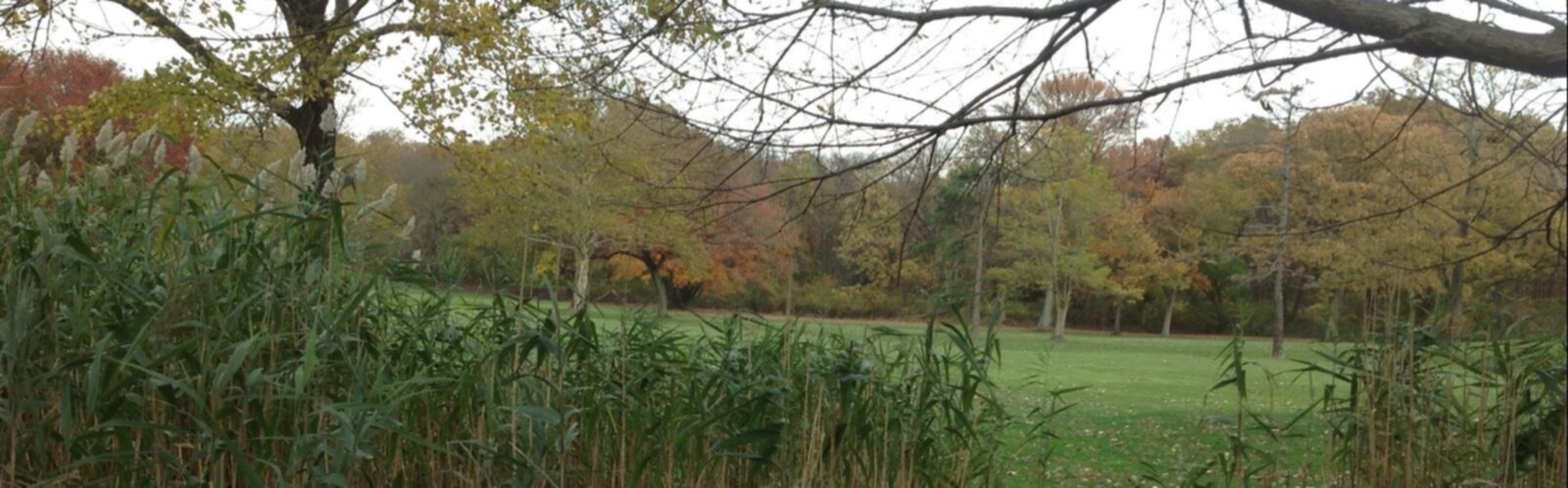

Ready to explore Todt Hill, New York? Here's everything you need to know before you go!
Discover the trail
Oh no! We don't have any photos 😢
This trail hasn't been captured yet. Be the first to share your adventure!Trail description
Todt Hill sits at the heart of Staten Island as the highest natural point in New York City — and one of the most overlooked green spaces in the entire five boroughs. While most visitors to NYC never make it past Manhattan or Brooklyn, locals who know Staten Island understand that Todt Hill offers something genuinely different: a forested, hilly landscape that feels nothing like the flat urban grid most people associate with the city.
The name "Todt Hill" comes from the Dutch word for "dead," likely a reference to the barren or exposed nature of the hilltop as early settlers encountered it. Today, the area is anything but barren — it's heavily wooded and sits within the larger greenbelt that runs through the center of Staten Island, giving it a surprisingly wild character for a place technically within city limits.
The Terrain
The hill itself is the defining feature here. Staten Island's topography is noticeably more rugged than the rest of New York City, and Todt Hill is the peak of that relief. The landscape is dominated by mature hardwood forest — oak, hickory, and tulip trees are common — with dense understory vegetation that keeps the trails shaded and cool during warmer months.
The trails in and around Todt Hill connect into the broader Staten Island Greenbelt trail network, which means you're not limited to a single loop or out-and-back. Depending on where you enter and how far you want to go, you can link up with other sections of the Greenbelt for a longer outing. The terrain involves real elevation change — this isn't a flat walk — with rocky sections, rooted paths, and some steeper pitches as you move up and down the hillside.
The ridge and upper sections of Todt Hill offer glimpses through the tree canopy, and the forested ridgeline has a distinctly different feel from the more manicured parks elsewhere in the city. You're walking on actual natural ground, not a paved path or groomed surface.
What to Expect on the Trail
Hikers coming to Todt Hill should be prepared for a genuine trail experience. The paths here are natural surface — dirt, roots, and rock — and can get muddy after rain. Footwear with some grip is a smart call, especially if you're planning to explore beyond the main routes.
Trail markings exist within the Greenbelt system, but navigation can require some attention. It's worth downloading a trail map or using a GPS app before you head out, particularly if you're new to the area or planning to connect trails. The Greenbelt Conservancy manages the trail network and provides resources for planning your route.
Because Todt Hill sits within a residential neighborhood as well as the Greenbelt, access points vary. Some trailheads are tucked between streets and require a bit of local knowledge to find. Parking is available at several Greenbelt access points in the area, though options are more limited than at a dedicated trailhead parking lot.
Wildlife and Nature
The forested environment around Todt Hill supports a solid variety of urban wildlife. Birding is a legitimate draw here — the mature forest attracts woodland species that are harder to find in more fragmented green spaces across the city. During migration seasons, the Greenbelt as a whole sees a good diversity of songbirds moving through.
White-tailed deer are present in the Greenbelt and are frequently spotted along trails. The dense vegetation also supports a range of smaller mammals, reptiles, and amphibians typical of northeastern hardwood forest. For a place within New York City, the ecological richness is notable.
Getting There
Todt Hill is located in the center of Staten Island, accessible via the Staten Island Ferry from Manhattan followed by local transit or a drive across the island. If you're coming by car, Staten Island is accessible via the Verrazano-Narrows Bridge from Brooklyn or the Goethals, Bayonne, or Outerbridge crossings from New Jersey.
Once on Staten Island, the Todt Hill area is reachable by car, and several Greenbelt trailheads in the vicinity provide starting points. Public transit options exist via the Staten Island Railway and local bus routes, though the specific trailhead access will depend on which entry point you're targeting. Checking the MTA and Staten Island Greenbelt Conservancy resources ahead of time will save you time on the day of your visit.
Practical Information
- Trail surface: Natural — dirt, roots, rock. Can be muddy after precipitation.
- Footwear: Trail shoes or hiking boots recommended.
- Navigation: Bring a map or GPS app; trail junctions can be confusing for first-timers.
- Managed by: NYC Parks and the Staten Island Greenbelt Conservancy.
- Dogs: Permitted on Greenbelt trails; leash rules apply — check current regulations with the Greenbelt Conservancy.
- Access: Multiple entry points throughout the surrounding neighborhood and Greenbelt.
- Facilities: Limited at trailheads in this area — plan accordingly.
Why Todt Hill Stands Out
Most people don't think of New York City as a hiking destination, and that's exactly what makes Todt Hill worth knowing about. It's the highest point in the city, embedded in a functioning forest ecosystem, with trails that connect into one of the largest urban nature preserves on the East Coast. For anyone based in the New York metro area looking for a trail experience without leaving the city, Todt Hill and the surrounding Greenbelt deliver something that's hard to find this close to a major urban center.
It's also a good reminder that Staten Island's green spaces are consistently underrated — and that the borough rewards the visitors who make the trip across the water.
The Essential Hiking Checklist
Everything you need for your next hike. Bilingual, printable, 1 page.
Get your free hiking checklistRecommended gear for this trail
As an Amazon Associate I earn from qualifying purchases.


Ready to go?
Everything you need to know before you goStarting Point
To access the hiking trails, head to Todt Hill in Staten Island. The primary trailhead can be reached by driving to the Greenbelt Nature Center located at 700 Rockland Avenue, Staten Island, NY 10314. There is a parking lot available at this location. Additionally, another access point is near the intersection of Todt Hill Road and Ocean Terrace, where street parking may be available.
When?
How much?
As an Amazon Associate I earn from qualifying purchases.
Affiliate links — LGPO may earn a commission at no extra cost to you.
- Hiking shoes Essential
- → Salomon Elixir Tour Mid WP · 203.38 $
- Layered clothing Essential
- Rain jacket Essential
- Trekking poles
- → Black Diamond Trail Ergo Cork · 69.99 $
- Headlamp
- → Petzl Actik Core 625 · 103.95 $
FAQ - Frequently asked questions
Everything you need to knowSimilar hikes nearby
Discover other trails you might enjoy
Central Park
New York City
Hudson River Greenway
New York City
Beginning of High Line
New York City

Cunningham Park Mountain Bike Trailhead
New York City
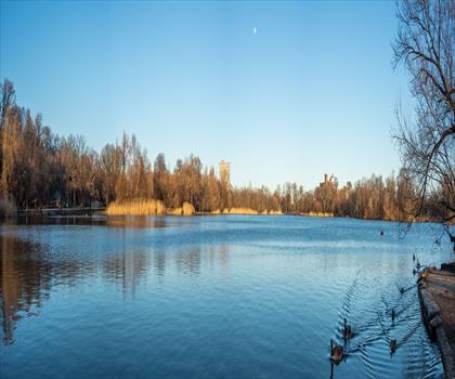
Prospect Park Lake
New York City
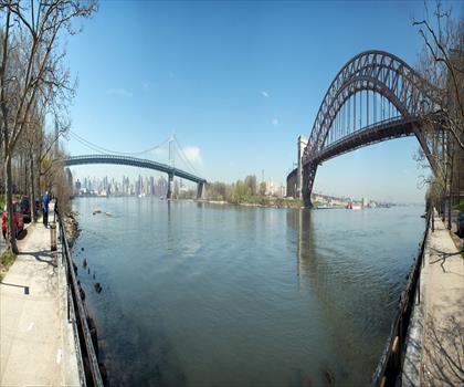
Astoria Park
New York City
Hiking near Jersey City
0 trails to explore ~14 km away
We work hard to provide the most up-to-date and error-free data possible. If something seems incorrect, let us know! Your contribution helps the whole community.
Hikers' opinions
Be the first to review!
No hiker has shared their experience yet. Share your impressions and help other hikers!