

Ready to explore Golden Eagle? Here's everything you need to know before you go!
Discover the trail
Oh no! We don't have any photos 😢
This trail hasn't been captured yet. Be the first to share your adventure!Trail description
Désolé, nous n'avons pas de description pour cet endroit.
Soyez le premier à partager plus d'informations sur cet endroit.
Soyez le premier à partager plus d'informations sur cet endroit.
Recommended gear for this trail
LGPO Pick

Salomon
Elixir Tour Mid WP
Waterproof mid-height boot ideal for rocky terrain
203.38 $


Affiliate links — LGPO may earn a commission at no extra cost to you.
Ready to go?
Everything you need to know before you goWhen?
Opening hours
No information
Varies by season
Best season
Fall
Spectacular colors
Best time
Early morning
Less crowded
Weather (next days)
Loading
How much?
Entry fees
Adult
Not available
Child
—
What to bring?
Gear
- Hiking shoes Essential
- → Salomon Elixir Tour Mid WP · 203.38 $
- Layered clothing Essential
- Rain jacket Essential
- Trekking poles
- → Black Diamond Trail Ergo Cork · 69.99 $
- Headlamp
- → Petzl Actik Core 625 · 103.95 $
Water & food
2L minimum
No water point on the trail
Bring energy snacks for a 4h+ hike
Good to know
Park rules
No dogs
Safety
Download the GPX before you go
Limited cellular coverage on the trail
Slippery after rain
Be careful on rocky sections
In an emergency
Emergency
911
Parking GPS
41.2019, 77.264702
Center
Not available
FAQ - Frequently asked questions
Everything you need to knowModerate
183.00 M
701.00 M
1h24
No
No
The Golden Eagle Trail is located in north-central Pennsylvania in Lycoming County, near the village of Cammal. It forms a loop through Tiadaghton State Forest on the east side of Pine Creek Gorge, within the Wolf Run Wild Area.
The Golden Eagle Trail is a loop hike ranging from approximately 9 to 10.1 miles depending on the source and exact route taken. It is considered a full-day hike.
The Raven's Horn vista point is the main attraction of the Golden Eagle Trail and a primary reason for hiking this route.
Yes, the Golden Eagle Trail is clearly marked throughout.
This is a strenuous hike that involves vigorous climbing from the bottom to the top of Pine Creek Gorge. It is best suited for hikers with moderate to advanced experience.
Yes, there are three very nice lookout points along the route, providing excellent photo opportunities and rest breaks.
The trail follows old logging roads and quarryman's trails through Appalachian forest terrain with rocky sections, exposed roots, and steep grades.
Didn't find your answer?
Free
1 pages
The Essential Hiking Checklist
Everything you need for your next hike. Bilingual, printable, 1 page.
Download the free checklistSimilar hikes nearby
Discover other trails you might enjoy
Camelback Mountain, Pennsylvania
Pocono Mountains
8.7 KM
3h30
570 M
Advanced
3.8
(10)
Appalachian Trail Fox Gap to Delaware Water Gap
Pocono Mountains
10.9 KM
4 hours
Beginner
3.4
(6)

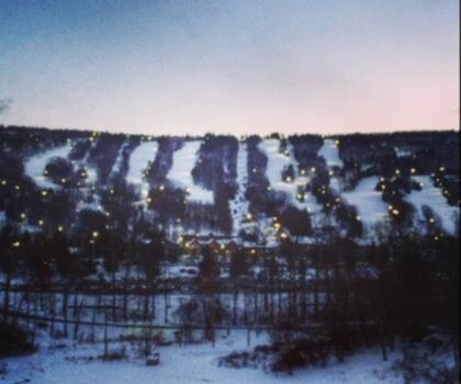
Blue Mountain Ski
Pocono Mountains
15.3 KM
6h30
1000 M
Advanced
3.1
(8)

Ricketts Glen
Pocono Mountains
10.3 KM
2h45
219 M
Intermediate
Top 10 best hiking in Pocono Mountains
Our ranking based on hiker reviews
Hiking near Sydney
22 trails to explore ~9453 km away
Did you spot an error?
We work hard to provide the most up-to-date and error-free data possible. If something seems incorrect, let us know! Your contribution helps the whole community.
Hikers' opinions
Be the first to review!
No hiker has shared their experience yet. Share your impressions and help other hikers!