

Ready to explore Stowe Mountain? Here's everything you need to know before you go!
Discover the trail
Trail description
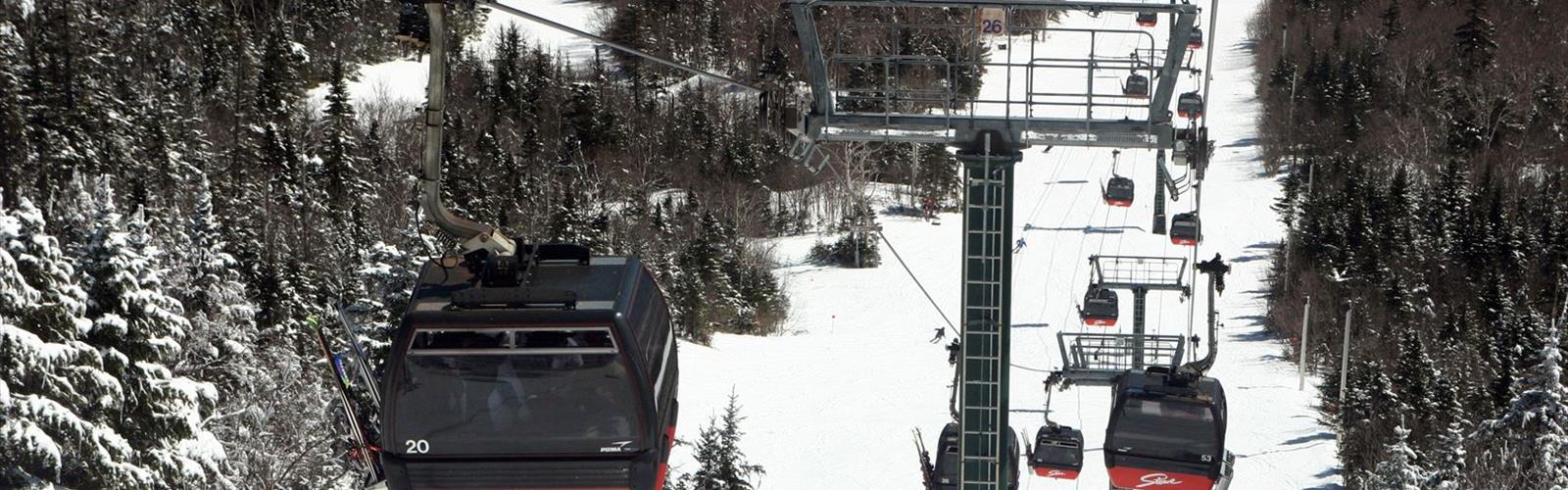
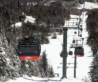
Stowe Mountain sits in the heart of Vermont's Green Mountains and delivers some of the most rewarding hiking in all of New England. The area centers around Mount Mansfield, Vermont's highest summit, and offers a genuine range of trail experiences — from easy woodland walks to demanding ridge routes with serious elevation gain. Whether you're looking for a casual half-day outing or a full push to the top, this mountain has something worth showing up for.
The Climb
The main hiking route covers 5.6 kilometers with 658 meters of elevation gain, which puts it squarely in moderate territory — challenging enough to feel earned, but accessible to hikers with a reasonable base fitness level. Plan for around 3 hours on the trail, though your actual time will depend on pace and how long you linger at viewpoints.
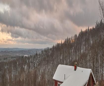
The ascent starts through dense hardwood forest, the kind of classic Vermont woodland that feels cool and shaded even on warm days. As you gain elevation, the trees gradually thin and the character of the trail shifts. The understory opens up, the canopy drops away, and you start getting your first real glimpses of the surrounding ridgelines. Higher up, the terrain gets rockier and more exposed, with sections of granite slab that require a bit of attention underfoot. Nothing technical, but you'll want to watch your step.
The Long Trail runs through this area along the spine of the Green Mountains, and connecting with it gives you access to some of the finest ridge walking in the Northeast. Views from the upper elevations stretch west across the Champlain Valley toward the Adirondacks and east toward the White Mountains on clear days — the kind of panorama that makes the climb feel completely worth it.
Trail Character and Terrain
One of the things that makes Stowe Mountain stand out is how much the trail experience changes as you climb. The lower sections move through rich mixed forest with well-maintained footpath underfoot — good footing, manageable grades, and plenty of natural interest along the way. Higher up, the trail becomes more rugged. Rocky sections demand more careful movement, and the exposed ridgeline near the summit has a completely different feel from the forested lower slopes.
That transition through distinct elevation zones is part of what makes this hike interesting beyond just the views at the top. You move through different plant communities as you gain height, from the lush hardwood forest at the base to the hardier, more sparse vegetation near the summit. The ecological shift is gradual but noticeable, and it gives the hike a sense of progression that keeps things engaging throughout.
Wildlife and Natural Environment
The forests around Stowe Mountain support typical Vermont woodland wildlife. Deer are commonly spotted, particularly in the early morning and evening hours, and the varied habitat makes for good bird watching throughout the season. The transition zones between forest types tend to be especially productive for spotting different species, and the upper elevations attract birds you won't find lower down.
Spring and summer bring wildflowers to the lower trails, adding color to the forest floor and open meadow sections. The diversity of plant life across the elevation range is one of the quieter rewards of this hike — easy to overlook if you're focused on the summit, but worth paying attention to.
Seasonal Conditions
Summer is the most straightforward time to hike here — trails are generally dry, the forest canopy provides shade on the lower sections, and the upper ridgeline offers cooling breezes. Fall is arguably the most spectacular season, when the hardwood forest turns and the mountainside becomes a patchwork of red, orange, and yellow. It's also the busiest time, so expect company on the trail.
Winter hiking is possible for those with the right gear and experience, but the upper sections become significantly more demanding with snow and ice. The exposed ridgeline in particular requires proper footwear and preparation when conditions are cold. Spring can be muddy as snowmelt works through the trail system — worth checking current conditions before heading out.
Planning Your Visit
The village of Stowe sits just below the mountain and serves as a natural base for the area. You'll find a full range of accommodations, from classic New England inns to more modern options, along with restaurants and cafes that work well for a post-hike meal. Local outfitters can provide current trail condition updates and help with gear if you need anything before heading up.
Wear sturdy footwear with good ankle support — the rocky upper sections will make you glad you did. Bring more water than you think you need, especially on warm days when the exposed upper trail offers no shade. The 3-hour estimate assumes a steady pace; if you plan to spend time at the summit taking in the views, budget a bit more time for the full outing.
The Essential Hiking Checklist
Everything you need for your next hike. Bilingual, printable, 1 page.
Get your free hiking checklistRecommended gear for this trail
As an Amazon Associate I earn from qualifying purchases.


Ready to go?
Everything you need to know before you goStarting Point
To access the hiking trails, you can start at several trailheads. One option is to head to the parking lot located at 7416 Mountain Road, Stowe, VT 05672. Another starting point is the trailhead at 5781 Mountain Road, Stowe, VT 05672. Both locations provide convenient access to the trails in the area.
When?
How much?
As an Amazon Associate I earn from qualifying purchases.
Affiliate links — LGPO may earn a commission at no extra cost to you.
- Hiking shoes Essential
- → Salomon Elixir Tour Mid WP · 203.38 $
- Layered clothing Essential
- Rain jacket Essential
- Trekking poles
- → Black Diamond Trail Ergo Cork · 69.99 $
- Headlamp
- → Petzl Actik Core 625 · 103.95 $
FAQ - Frequently asked questions
Everything you need to knowSimilar hikes nearby
Discover other trails you might enjoy

Ball Mountain Dam
Southern Vermont
Lake Raponda
Southern Vermont
Putney Mountain
Southern Vermont
Townshend State Park
Southern Vermont
Aeolus Animal Hospital & Equine
Southern Vermont
Hogback Mountain Conservation Area
Southern Vermont
Hiking near Springfield
0 trails to explore ~74 km away
We work hard to provide the most up-to-date and error-free data possible. If something seems incorrect, let us know! Your contribution helps the whole community.
Hikers' opinions
Be the first to review!
No hiker has shared their experience yet. Share your impressions and help other hikers!