
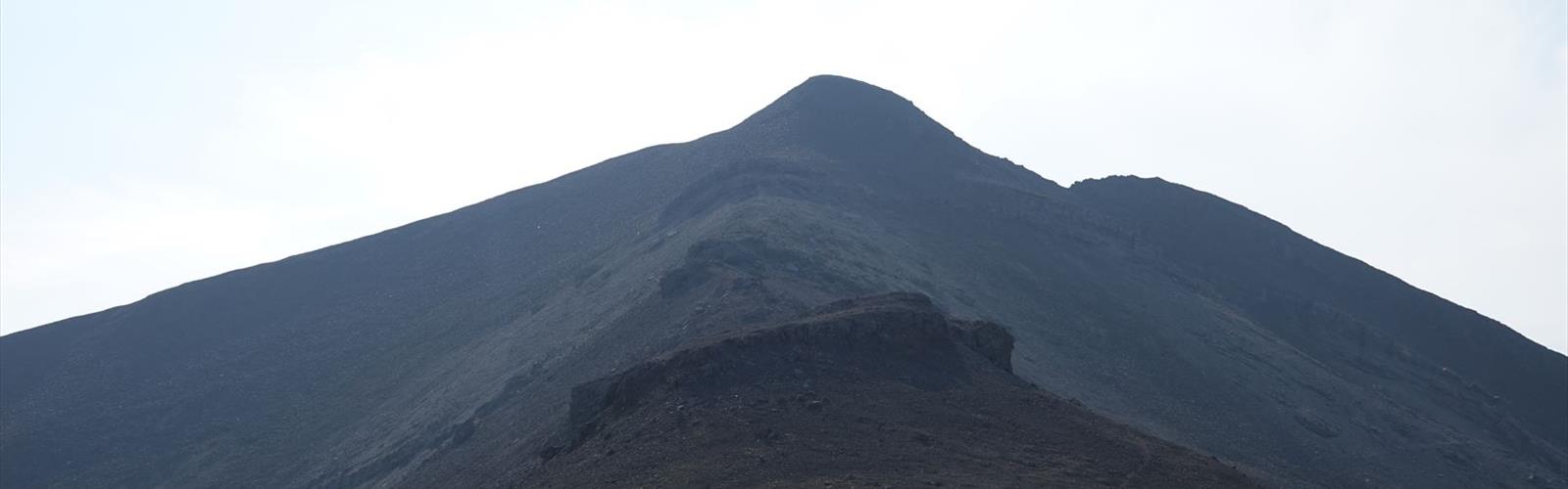

Ready to explore Sulphur Skyline Trail? Here's everything you need to know before you go!
Discover the trail
Trail description
The Sulphur Skyline Trail delivers one of Jasper National Park's most rewarding day hikes, combining a solid workout with spectacular mountain views that stretch across the Athabasca Valley. This challenging adventure starts conveniently at the Miette Hot Springs parking lot, making it perfect for hikers who want to earn their post-hike soak in the natural thermal pools.
What sets this trail apart from other hikes in Alberta North is its dramatic finale—a genuine 360-degree panorama from the ridgeline that takes in the Fiddle River Valley, the Colin Range, and distant peaks stretching toward the Continental Divide. The trail's strategic location near the park's northeastern boundary means you'll often have the summit largely to yourself, even during busy summer weekends.
The Hiking Experience
The first kilometer eases you into the adventure through dense subalpine forest dominated by Engelmann spruce and subalpine fir. The well-maintained trail follows a steady but manageable grade as it winds through this cool, shaded section. You'll cross several small creek drainages—perfect spots to top off water bottles during dry spells.
Around the 2-kilometer mark, the forest begins to thin and the real climbing starts. The trail gains significant elevation over its length to the summit, with the steepest sections concentrated in the final third of the ascent. Rocky switchbacks replace the forest floor as you climb above treeline, and the terrain becomes increasingly alpine in character.
The final push to the ridgeline is the trail's most demanding section—a steep, rocky scramble that requires careful foot placement and serious determination. Your legs will feel the burn as you navigate loose scree and exposed rock faces. But as you crest the ridge, the effort pays off immediately. The Fiddle River Valley spreads out below while mountain ranges layer the horizon in every direction. On clear days, you can identify peaks dozens of kilometers away, including prominent summits in the front ranges of the Canadian Rockies.
The exposed ridgeline walk offers multiple viewpoints, each revealing new perspectives of the surrounding wilderness. Wind is almost constant up here, providing welcome relief after the demanding climb but also requiring extra layers even on warm days.
Wildlife and Natural Features
The Sulphur Skyline Trail passes through prime habitat for several of Jasper's iconic species. Bighorn sheep frequent the upper elevations, particularly near the rocky outcrops below the summit. These sure-footed climbers often graze on the alpine vegetation, seemingly unbothered by hikers passing nearby. Elk are commonly spotted in the lower forested sections, especially during early morning and evening hours.
Black bears and grizzly bears both use this area, particularly during berry season in late summer. The diverse terrain provides excellent foraging opportunities, from forest understory plants to alpine meadow vegetation. Mountain goats occasionally appear on the most precipitous cliff faces, though they're less common than the bighorn sheep.
The diverse elevation range creates distinct ecological zones along the route. The lower forest sections harbor typical montane species, while the upper reaches support hardy alpine plants adapted to harsh conditions. During summer months, wildflower displays can be spectacular above treeline, with Indian paintbrush, alpine forget-me-nots, and mountain avens adding vibrant colors to the rocky landscape.
Seasonal Considerations and Timing
Late spring through early fall offers the best hiking conditions, typically from mid-June through September. Snow can linger on the upper sections well into June, and early season hikers should be prepared for potentially icy conditions on north-facing slopes. July and August provide the most reliable weather, though afternoon thunderstorms are common during these months.
Fall hiking can be exceptional, with cooler temperatures and fewer crowds, but weather becomes increasingly unpredictable after mid-September. The alpine larch in surrounding areas turn brilliant gold, creating stunning photographic opportunities. Winter access is technically possible, but the trail becomes a serious mountaineering undertaking requiring avalanche knowledge and appropriate equipment.
Mountain weather changes rapidly regardless of season. Even on warm summer days, temperatures can drop significantly with elevation gain and changing conditions. Always check current weather forecasts and trail conditions at the Jasper Information Centre before heading out.
Practical Preparation
Sturdy hiking boots with good ankle support are essential for the rocky upper sections of the trail. The terrain becomes increasingly loose and uneven above treeline, making proper footwear a safety consideration rather than just a comfort issue. Trekking poles prove invaluable for the steep descent, helping protect your knees and providing stability on loose rock.
Layer your clothing system carefully. The forested lower sections can be quite warm during summer afternoons, while the exposed ridgeline can be surprisingly cool and windy. A lightweight shell jacket provides essential protection against sudden weather changes common in alpine environments. Don't forget a warm hat and gloves—even summer conditions can turn harsh quickly at elevation.
Carry more water than you think you'll need—the demanding climb combined with significant elevation gain and often-dry conditions can lead to dehydration quickly. While small creeks cross the lower trail, water sources become scarce above treeline. Pack high-energy snacks to maintain stamina during the steeper climbing sections, and consider bringing a proper lunch to enjoy at the summit.
Wildlife encounters require appropriate precautions. Maintain at least 30 meters distance from elk and 100 meters from any bears. Never attempt to feed wildlife, and make noise in areas with limited visibility to avoid surprising animals. Store all food securely and pack out everything you bring in.
The trailhead at Miette Hot Springs includes adequate parking, washroom facilities, and the opportunity to purchase snacks or drinks. Arriving early in the day, particularly during peak summer months, ensures parking availability and allows you to complete the hike before afternoon weather typically deteriorates in the mountains. The hot springs make an perfect reward after conquering this challenging trail.
The Essential Hiking Checklist
Everything you need for your next hike. Bilingual, printable, 1 page.
Get your free hiking checklistRecommended gear for this trail
As an Amazon Associate I earn from qualifying purchases.


Ready to go?
Everything you need to know before you goStarting Point
The sulphur skyline trail is located in the Kananaskis Country region of Alberta. To get to the start of the trails, take the Trans-Canada Highway to the Kananaskis Village exit. From there, follow the signs to the sulphur skyline trail.
When?
How much?
As an Amazon Associate I earn from qualifying purchases.
Affiliate links — LGPO may earn a commission at no extra cost to you.
- Hiking shoes Essential
- → Salomon Elixir Tour Mid WP · 203.38 $
- Layered clothing Essential
- Rain jacket Essential
- Trekking poles
- → Black Diamond Trail Ergo Cork · 69.99 $
- Headlamp
- → Petzl Actik Core 625 · 103.95 $
FAQ - Frequently asked questions
Everything you need to knowSimilar hikes nearby
Discover other trails you might enjoy
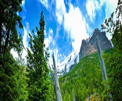
Fossil Mountain
Canadian Rockies

Snake Indian Mountain
Canadian Rockies
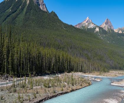
Mushroom Peak
Canadian Rockies
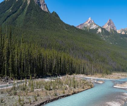
Mount Woolley
Canadian Rockies
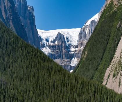
Stutfield Peak
Canadian Rockies
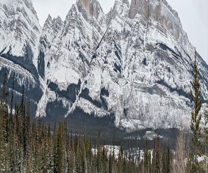
Mount Sarbach
Canadian Rockies
Hiking near Jasper
82 trails to explore ~35 km away
We work hard to provide the most up-to-date and error-free data possible. If something seems incorrect, let us know! Your contribution helps the whole community.
Hikers' opinions
Be the first to review!
No hiker has shared their experience yet. Share your impressions and help other hikers!