
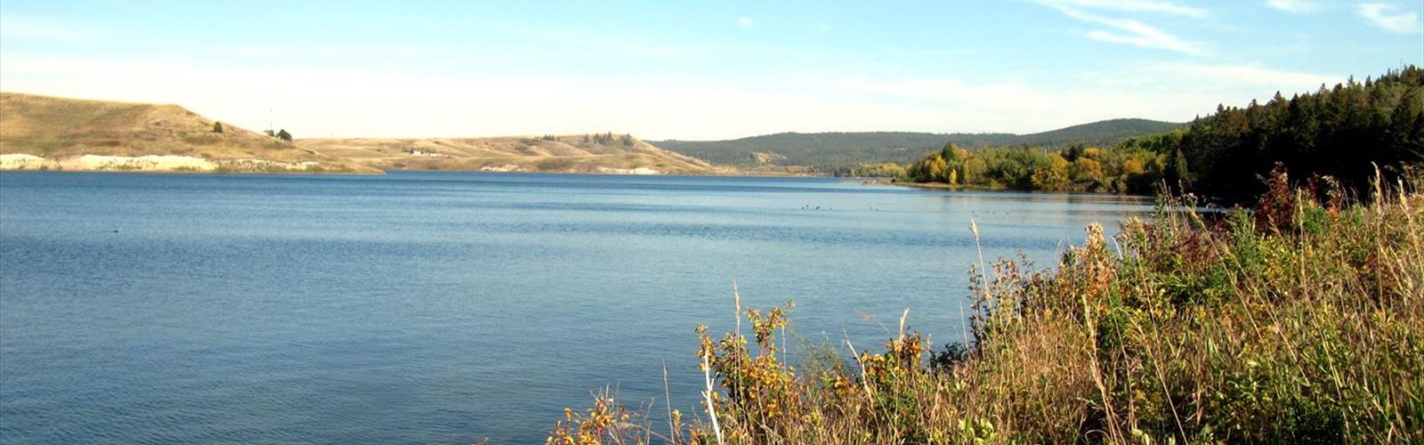

Ready to explore Cypress Hills Interprovincial Park - Saskatchewan? Here's everything you need to know before you go!
Discover the trail
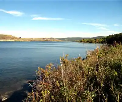
Trail description
Cypress Hills Interprovincial Park straddles the border between Alberta and Saskatchewan, and the Saskatchewan block sits within one of the most geographically remarkable landscapes on the Canadian prairies. This elevated plateau rises dramatically above the surrounding grasslands, reaching 1,466 meters (4,810 feet) at its highest point — making it the tallest landform between the Rocky Mountains and Labrador. That elevation isn't just a statistic; it fundamentally changes everything about the environment here. The air is cooler, the forests are denser, and the views stretch endlessly across the plains below.
What makes hiking here genuinely different from anywhere else on the Great Plains is the contrast. Within a single outing, you move from open native fescue grasslands into stands of lodgepole pine, white spruce, and aspen that feel more like the foothills than the prairies. The terrain includes rolling hills, steep-sided coulees, and exposed rock formations — all of it sitting on top of a plateau that the last glaciers simply couldn't reach, which is part of why the ecosystem here is so distinct.
The Trail
This particular trail comes in at 2.6 km with just 40 meters of elevation gain, rated Easy with an estimated time of about 1 hour 15 minutes. That makes it a solid choice for families, casual hikers, or anyone who wants to get a genuine feel for the park without committing to a full backcountry day. The modest elevation change means the trail is accessible to a wide range of fitness levels, and the short distance keeps it manageable even for younger kids.
Don't let the "easy" rating fool you into thinking there's nothing to see. The trail moves through the kind of mixed terrain that defines the Cypress Hills experience — forested sections where the canopy closes in overhead, open areas where the grassland opens up and the views extend far into the distance, and enough topographic variation to keep things interesting throughout. The 40-meter gain is gentle but noticeable, and the high points along the route offer the kind of panoramic perspective that reminds you just how elevated this plateau really is compared to the surrounding prairie.
Wildlife and Natural Features
The park's unique position as a montane island in a sea of grassland creates exceptional wildlife diversity. Elk and white-tailed deer are regularly spotted throughout the park, especially during early morning and evening hours. The mixed habitat also supports moose, black bears, and a wide range of smaller mammals. Birders have recorded over 220 species in the park — a number that reflects both the forest species you'd normally find much farther west in the mountains and the prairie specialists that inhabit the surrounding grasslands. Migration periods in spring and fall are particularly productive, as the elevated terrain acts as a natural waypoint for traveling birds.
The plant communities are equally varied. Spring brings wildflower displays across the grassland sections, while the forest understory hosts species more typical of boreal environments. Exposed slopes and rocky outcrops support specialized plant communities that thrive in the unique conditions created by this elevated, isolated environment.
The Broader Park Experience
The trail network at Cypress Hills Interprovincial Park extends well beyond this single route. The Hidden Conglomerate Cliffs Trail is one of the standout moderate options in the park, leading to impressive ancient rock formations while delivering expansive views across the plateau. For those who want to push further, longer backcountry routes traverse the park's more remote sections where wildlife encounters are common and the sense of isolation is real.
Elkwater Lake anchors the Alberta side of the park and serves as a hub for water-based activities including canoeing and fishing. The lake's clear water and forested shoreline provide a setting that feels more like the mountain parks than the prairies. Mountain biking is also available on many of the same trail corridors used by hikers, with options ranging from easy lakeside rides to more technical routes.
Camping options range from basic tent sites to full-hookup RV sites, and the park's elevation and clear air make for outstanding stargazing after dark. Cabin accommodations are also available for those who want a more comfortable base for multi-day exploration.
What to Know Before You Go
The park's elevation creates a microclimate that can differ significantly from the surrounding prairie. Temperatures run cooler than the lowlands, and the terrain can generate its own weather — summer thunderstorms can develop quickly, so it's worth keeping an eye on the sky even on a short outing like this one. Layers are a good idea regardless of the season, and solid footwear will serve you well on the varied terrain even on an easy-rated trail.
The Saskatchewan block of Cypress Hills Interprovincial Park is jointly managed as part of the interprovincial park system, and the trail infrastructure reflects that investment — well-maintained routes with clear signage that make navigation straightforward for hikers of all experience levels.
The Essential Hiking Checklist
Everything you need for your next hike. Bilingual, printable, 1 page.
Get your free hiking checklistRecommended gear for this trail
As an Amazon Associate I earn from qualifying purchases.


Ready to go?
Everything you need to know before you goStarting Point
The easiest way to get to the start of the trails at the cypress hills interprovincial park - saskatchewan in Alberta is to drive to the park.
When?
How much?
As an Amazon Associate I earn from qualifying purchases.
Affiliate links — LGPO may earn a commission at no extra cost to you.
- Hiking shoes Essential
- → Salomon Elixir Tour Mid WP · 203.38 $
- Layered clothing Essential
- Rain jacket Essential
- Trekking poles
- → Black Diamond Trail Ergo Cork · 69.99 $
- Headlamp
- → Petzl Actik Core 625 · 103.95 $
FAQ - Frequently asked questions
Everything you need to knowSimilar hikes nearby
Discover other trails you might enjoy
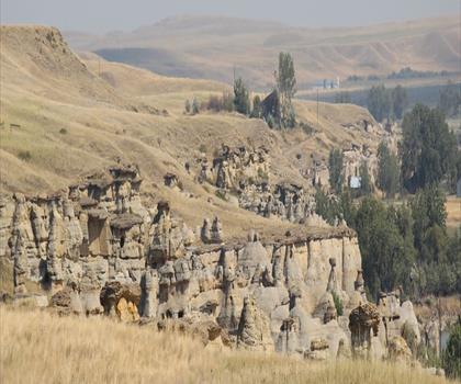
Writing-on-Stone Provincial Park
Historic Plains
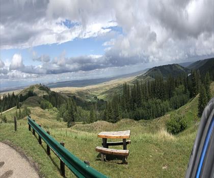
Reesor Lake
Historic Plains
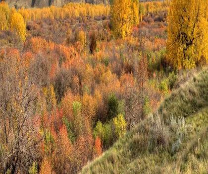
Police Point Park
Historic Plains

Indian Battle Park
Historic Plains
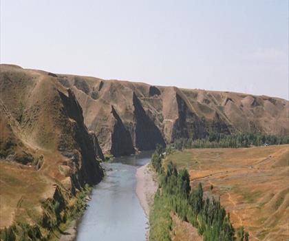
Popson Park
Historic Plains
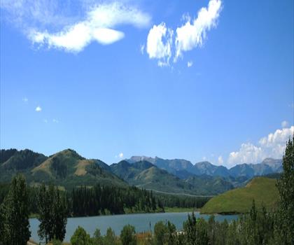
Park Lake Provincial Park
Historic Plains
Hiking near Calgary
120 trails to explore ~308 km away
We work hard to provide the most up-to-date and error-free data possible. If something seems incorrect, let us know! Your contribution helps the whole community.
Hikers' opinions
Be the first to review!
No hiker has shared their experience yet. Share your impressions and help other hikers!