
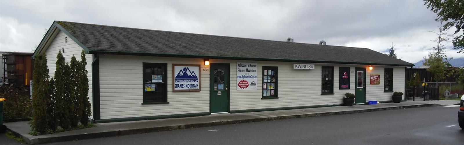

Ready to explore Shames Mountain Ski ? Here's everything you need to know before you go!
Discover the trail
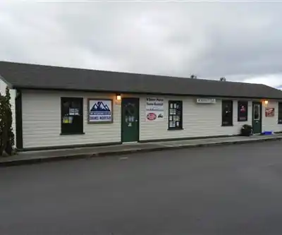
Trail description
Shames Mountain Ski Area sits in the mountains west of Terrace, British Columbia, in the heart of Northern BC's coastal interior. While it's best known as a ski hill during winter, the area draws hikers and outdoor enthusiasts during the warmer months who come to explore the rugged terrain, old-growth forest, and dramatic mountain scenery that defines this corner of the province.
The Shames Mountain area benefits from its position in one of the snowiest regions in Canada — a fact that shapes the landscape even in summer. The surrounding terrain is lush, dense, and wild, with the kind of old-growth temperate rainforest that makes Northern BC so distinct. Expect towering Sitka spruce, western hemlock, and cedar, with a thick understory of ferns, devil's club, and mosses that thrive in the high precipitation environment.
The Setting
Shames Mountain is located along the Skeena Country, a region defined by big river valleys, coastal mountain ranges, and a climate heavily influenced by Pacific weather systems. The mountain sits within a landscape that feels genuinely remote, even though Terrace is not far away. The access road takes you away from the valley floor quickly, and once you're up in the alpine zone, the sense of scale shifts considerably.
The terrain around Shames is steep and varied. Lower elevations are forested and wet, with the kind of dense vegetation that makes off-trail travel slow and demanding. As you gain elevation, the forest opens up and the views across the surrounding peaks and valleys start to reveal themselves. The upper mountain offers open alpine terrain with rocky ridgelines and sweeping sightlines that reward the effort it takes to get there.
What to Expect on the Trail
Hiking at Shames Mountain is not a groomed or heavily maintained experience. This is mountain terrain in Northern BC, and it comes with everything that implies — variable weather, muddy sections, and routes that require some route-finding ability. The trails and routes here are best suited to hikers who are comfortable in rugged backcountry-adjacent terrain and who come prepared for conditions to change quickly.
The ski area infrastructure — lifts, runs, and access roads — provides some orientation on the mountain, but outside of the ski season, the area reverts to a more natural state. Hikers use the cleared ski runs and ridgelines to navigate, which can actually make route-finding more straightforward in the upper sections where the treeline breaks and visibility improves.
Wildlife is a real presence in this area. The Skeena region supports healthy populations of black bear and grizzly bear, so carrying bear spray and making noise on the trail is standard practice, not optional. The dense vegetation at lower elevations means visibility can be limited, which makes noise even more important. Moose, wolves, and a wide range of bird species also inhabit the surrounding landscape.
Seasonal Considerations
The hiking season at Shames Mountain is relatively short. Snow lingers well into spring at elevation, and the upper mountain can see early snowfall again in September. The prime window for hiking is typically mid-summer through early fall, when the alpine terrain is accessible and the weather is most stable. Even during peak season, afternoon cloud and rain are common — this is a coastal mountain environment, and it behaves like one.
Come prepared with waterproof layers regardless of the forecast. The same geography that makes Shames one of the snowiest ski areas in Canada also means the surrounding terrain stays wet and cool through much of the year. Good footwear with solid ankle support and grip is essential given the steep and often muddy conditions.
Getting There
Shames Mountain is accessible from Terrace, BC, via Highway 16 heading west. The ski area access road branches off from the highway and climbs up toward the mountain. The drive itself gives you a sense of the scale of the surrounding landscape — the Skeena River valley, the forested slopes, and the peaks rising above the treeline.
Parking is available at the ski area base. Outside of the ski season, facilities are limited, so plan accordingly — bring your own water, food, and any supplies you'll need for the day. There are no services operating at the base during summer months.
Who This Is For
Shames Mountain is a good fit for hikers who want a genuine mountain experience in Northern BC without the crowds that come with more heavily promoted destinations. The terrain is demanding enough to feel like a real outing, and the setting — old-growth forest, alpine ridgelines, big mountain views — delivers the kind of scenery that makes the effort worthwhile.
It's not the right choice for beginners or for anyone expecting a well-marked, maintained trail system. But for hikers with solid experience in variable mountain terrain, it offers access to a landscape that feels authentically wild and largely uncrowded. The combination of coastal rainforest at lower elevations and open alpine above makes for a hike that moves through genuinely different environments as you gain elevation.
Practical Tips
- Bear safety: Carry bear spray and make noise consistently, especially in dense forest sections where visibility is low.
- Weather: Dress in waterproof layers and expect conditions to change. Morning clear skies can give way to afternoon cloud and rain quickly in this region.
- Footwear: Waterproof hiking boots with good ankle support and grip are strongly recommended given the steep and muddy terrain.
- Navigation: Bring a map and compass or a GPS device. Trail markings outside of the ski season are minimal.
- Water: No services are available at the base during summer. Bring all the water and food you need for the day.
- Timing: Start early to make the most of stable morning weather and to give yourself a buffer if conditions deteriorate in the afternoon.
The Essential Hiking Checklist
Everything you need for your next hike. Bilingual, printable, 1 page.
Get your free hiking checklistRecommended gear for this trail
As an Amazon Associate I earn from qualifying purchases.


Ready to go?
Everything you need to know before you goWhen?
How much?
As an Amazon Associate I earn from qualifying purchases.
Affiliate links — LGPO may earn a commission at no extra cost to you.
- Hiking shoes Essential
- → Salomon Elixir Tour Mid WP · 203.38 $
- Layered clothing Essential
- Rain jacket Essential
- Trekking poles
- → Black Diamond Trail Ergo Cork · 69.99 $
- Headlamp
- → Petzl Actik Core 625 · 103.95 $
FAQ - Frequently asked questions
Everything you need to knowSimilar hikes nearby
Discover other trails you might enjoy

Mount Robson
Northern British Columbia
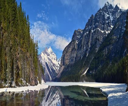
Kinney Lake
Northern British Columbia

Liard Hot Springs Lodge
Northern British Columbia
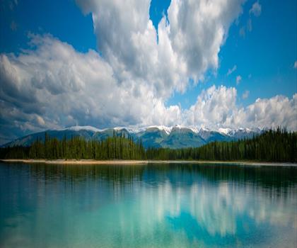
Boya Lake
Northern British Columbia
Kinuseo Falls
Northern British Columbia
Hudson Bay Mountain
Northern British Columbia
Hiking near Whistler
160 trails to explore ~622 km away
We work hard to provide the most up-to-date and error-free data possible. If something seems incorrect, let us know! Your contribution helps the whole community.
Hikers' opinions
Be the first to review!
No hiker has shared their experience yet. Share your impressions and help other hikers!