
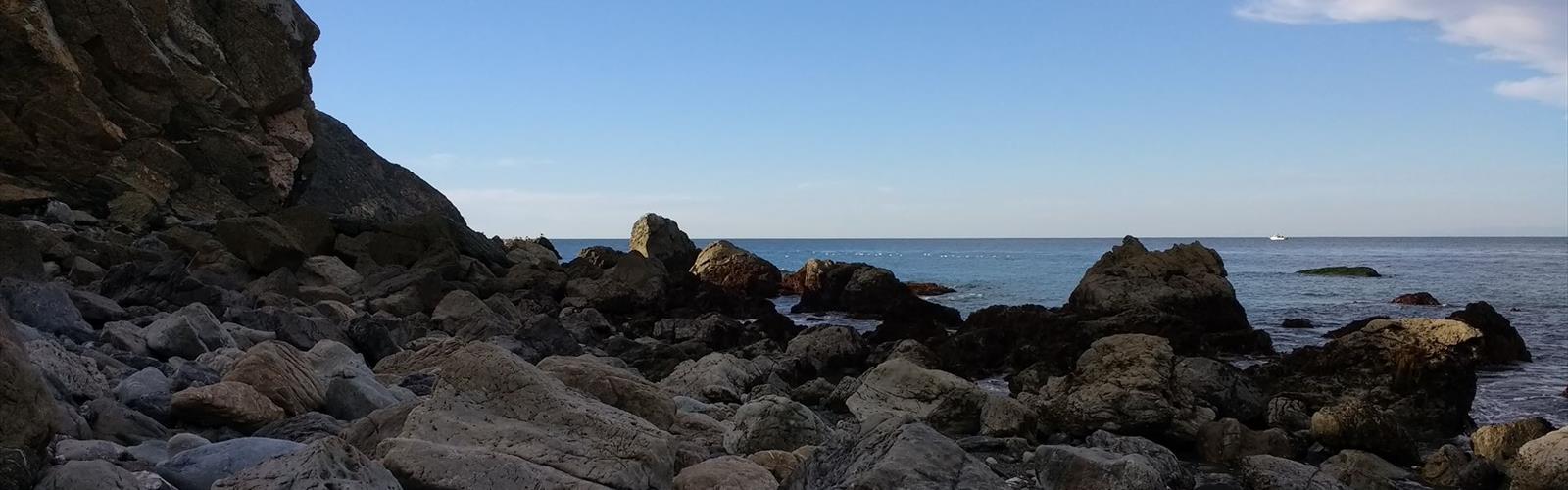

Ready to explore Cow Trail? Here's everything you need to know before you go!
Discover the trail
Photos: Chris Hunkeler from Carlsbad, California, USA — CC BY-SA 2.0 (Wikimedia Commons)
Trail description
The Cow Trail is a hiking route located in the Kootenay Rockies region of British Columbia, Canada. Tucked into one of the province's most scenic and underexplored corners, this trail offers hikers a chance to get out into genuine backcountry terrain without the crowds that tend to follow more well-known destinations in BC.
The Trail Experience
The Cow Trail lives up to its name in the best possible way — it's the kind of path that feels like it was worn into the landscape over generations, following natural contours through the land rather than engineered switchbacks. Hikers can expect a route that feels organic and immersive, with the terrain doing most of the storytelling.
The Kootenay Rockies setting means you're hiking through a landscape shaped by dramatic mountain geology, dense forest cover, and the kind of wide-open views that remind you why people move to this part of British Columbia in the first place. The region sits at the crossroads of the Columbia Mountains and the Rocky Mountains, giving it a distinct character that sets it apart from both the coastal ranges to the west and the drier foothills to the east.
Terrain and Surroundings
Expect a mix of forested sections and more open terrain as you move along the Cow Trail. The Kootenay Rockies are known for their lush, wet forests — a product of the region's higher precipitation compared to the interior plateau — so you'll likely be hiking through stands of cedar, hemlock, and fir depending on the elevation and aspect of the trail.
The trail corridor gives hikers a ground-level perspective on the landscape that you simply don't get from a viewpoint or a roadside pullout. This is the kind of hiking where the journey itself is the point — watching the light filter through the canopy, noticing how the vegetation shifts as you gain or lose elevation, and getting a feel for how the land actually works in this part of BC.
Wildlife is a real possibility in the Kootenay Rockies. The region supports healthy populations of deer, elk, black bear, and a range of smaller mammals and birds. Keep your eyes open and make noise on the trail — standard backcountry awareness applies here.
Who This Trail Is For
The Cow Trail suits hikers who are comfortable on natural, unmanicured terrain and who appreciate a route that hasn't been over-developed or over-signed. If you're looking for a paved interpretive loop with benches every 200 metres, this probably isn't your trail. But if you want to actually get out into the Kootenay landscape and move through it on foot, this is exactly the kind of route worth seeking out.
It's a good option for:
- Hikers who want to explore the Kootenay Rockies beyond the main tourist corridors
- Anyone looking for a quieter, less-trafficked alternative to busier regional trails
- Outdoor enthusiasts who enjoy routes with a more rugged, natural feel
- Locals and visitors alike who want to connect with the working landscape of the region
Getting There
The Kootenay Rockies region is accessed primarily by highway, and the area's trail network is spread across a large geographic footprint. Before heading out, it's worth confirming current road and trail conditions, particularly if you're visiting in shoulder seasons when access roads can be affected by snow, mud, or washouts. The region's mountain weather can change quickly, so check the forecast before you go and come prepared for variable conditions regardless of the season.
Parking and trailhead facilities vary across the Kootenay Rockies, so it's a good idea to do a bit of advance research on what to expect at the specific access point for the Cow Trail. Local outdoor shops and regional tourism offices are often the best source of up-to-date, on-the-ground information for trails in this part of BC.
Practical Tips
- Water: Carry enough water for your outing. Natural water sources may be available along the route, but always treat backcountry water before drinking.
- Footwear: Sturdy hiking boots with good ankle support are recommended for natural terrain like this. Trail runners can work for experienced hikers comfortable on uneven ground.
- Navigation: Download an offline map before you go. Cell service in the Kootenay Rockies can be unreliable, and having a backup navigation option is always smart.
- Bear awareness: Carry bear spray and know how to use it. Make noise on the trail, especially in areas with limited sightlines.
- Leave No Trace: Pack out everything you pack in. The Kootenay Rockies' natural environment is worth protecting — keep the trail clean for the next person.
- Conditions: Check trail conditions before heading out, especially in spring and fall when snow and mud can significantly affect the experience.
The Kootenay Rockies Context
Hiking in the Kootenay Rockies means stepping into one of British Columbia's most geographically and ecologically rich regions. The area encompasses parts of the Columbia Valley, the Selkirk and Purcell ranges, and the western slopes of the Canadian Rockies — a combination that produces an extraordinary range of landscapes within a relatively compact area.
The Cow Trail is one piece of a much larger puzzle of trails, routes, and wild spaces that make this region worth returning to again and again. Whether you're based in one of the region's small mountain towns or passing through on a longer road trip, getting out on foot is the best way to actually understand what makes the Kootenay Rockies different from anywhere else in the province.
The trail's name is a nod to the working landscape history of the region — a reminder that these mountains have been used, travelled, and shaped by both people and animals long before recreational hiking became part of the picture, and that the land carries that history in its contours and its character.
The Essential Hiking Checklist
Everything you need for your next hike. Bilingual, printable, 1 page.
Get your free hiking checklistRecommended gear for this trail
As an Amazon Associate I earn from qualifying purchases.


Ready to go?
Everything you need to know before you goWhen?
How much?
As an Amazon Associate I earn from qualifying purchases.
Affiliate links — LGPO may earn a commission at no extra cost to you.
- Hiking shoes Essential
- → Salomon Elixir Tour Mid WP · 203.38 $
- Layered clothing Essential
- Rain jacket Essential
- Trekking poles
- → Black Diamond Trail Ergo Cork · 69.99 $
- Headlamp
- → Petzl Actik Core 625 · 103.95 $
FAQ - Frequently asked questions
Everything you need to knowSimilar hikes nearby
Discover other trails you might enjoy

Big White Ski Resort
Thompson Okanagan
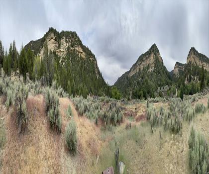
Cougar Canyon
Thompson Okanagan
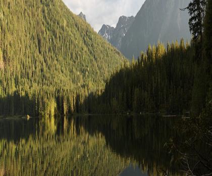
Spectrum Lake
Thompson Okanagan
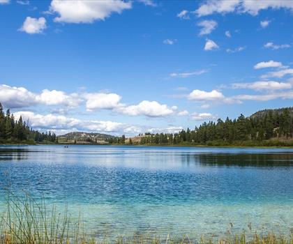
Kentucky Lake
Thompson Okanagan
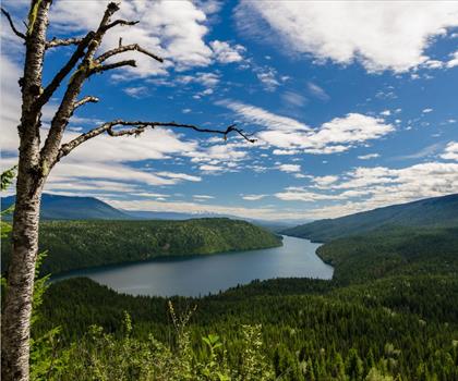
Clearwater Lake
Thompson Okanagan
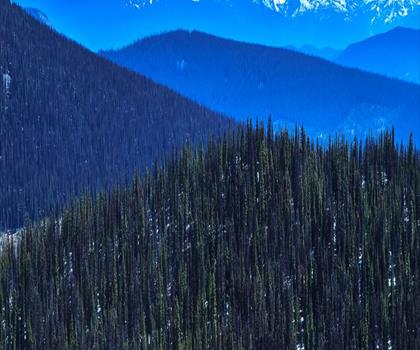
Mahood Lake
Thompson Okanagan
Hiking near Kelowna
45 trails to explore ~95 km away
We work hard to provide the most up-to-date and error-free data possible. If something seems incorrect, let us know! Your contribution helps the whole community.
Hikers' opinions
Be the first to review!
No hiker has shared their experience yet. Share your impressions and help other hikers!