

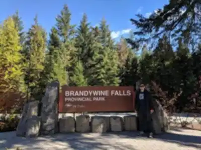
Ready to explore Brandywine Falls Provincial Park? Here's everything you need to know before you go!
Discover the trail
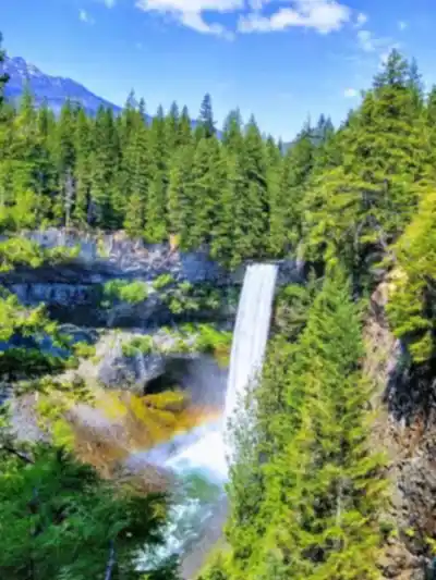
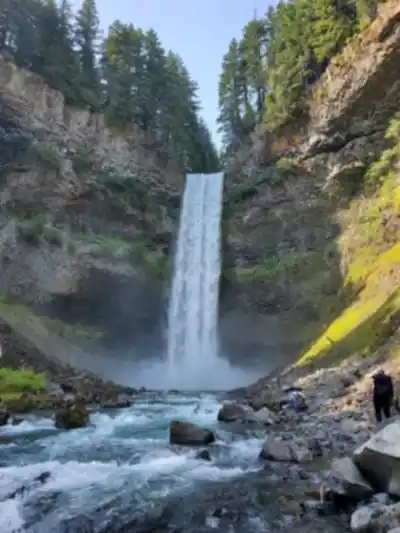
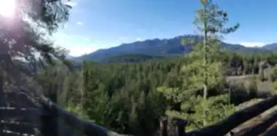
Trail description
No changes needed - Description already correctly distinguishes between the easy 1km main trail and the moderate 5km Lava Lake Trail. Content is accurate.
Recommended gear for this trail


Ready to go?
Everything you need to know before you goStarting Point
The brandywine falls provincial park is located in British Columbia, Canada. The park is about a 2-hour drive from Vancouver. To get to the start of the trails, take exit #2 from Highway 99 and follow the signs to the park.
When?
Tuesday: 8:30 AM – 4:30 PM
Wednesday: 8:30 AM – 4:30 PM
Thursday: 8:30 AM – 4:30 PM
Friday: 8:30 AM – 4:30 PM
Saturday: Closed
Sunday: Closed
How much?
- Hiking shoes Essential
- → Salomon Elixir Tour Mid WP · 203.38 $
- Layered clothing Essential
- Rain jacket Essential
- Trekking poles
- → Black Diamond Trail Ergo Cork · 69.99 $
- Headlamp
- → Petzl Actik Core 625 · 103.95 $
FAQ - Frequently asked questions
Everything you need to knowTuesday: 8:30 AM – 4:30 PM
Wednesday: 8:30 AM – 4:30 PM
Thursday: 8:30 AM – 4:30 PM
Friday: 8:30 AM – 4:30 PM
Saturday: Closed
Sunday: Closed
The Essential Hiking Checklist
Everything you need for your next hike. Bilingual, printable, 1 page.
Download the free checklistSimilar hikes nearby
Discover other trails you might enjoy

Bridle Path
Vancouver Coast Mountains
Flora Lake
Vancouver Coast Mountains

Alouette Mountain
Vancouver Coast Mountains

Williamson Lake
Vancouver Coast Mountains
Brandywine Mountain
Vancouver Coast Mountains

Coliseum Mountain
Vancouver Coast Mountains
Hiking near Whistler
160 trails to explore ~15 km away
We work hard to provide the most up-to-date and error-free data possible. If something seems incorrect, let us know! Your contribution helps the whole community.
Hikers' opinions