
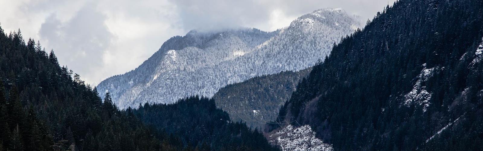

Ready to explore Cypress lake? Here's everything you need to know before you go!
Discover the trail

Trail description
Cypress Lake sits tucked away in the Vancouver Coast Mountains, offering hikers a rewarding 5-kilometer round trip to one of the region's more accessible alpine destinations. This easy trail gains 300 meters of elevation over approximately 2 hours and 15 minutes of hiking, making it an excellent choice for those looking to experience mountain scenery without committing to a full-day adventure.
The well-marked trail begins in dense coastal forest, where the path winds through towering Douglas fir and western hemlock. You'll notice the forest floor carpeted with ferns and moss, creating that quintessential Pacific Northwest atmosphere. The initial section follows gentle switchbacks that gradually lead you away from the trailhead's lower elevations.
The Trail Experience
As you progress along the route, the trail maintains a steady but manageable grade that welcomes newcomers without overwhelming them. The easy difficulty rating makes this an ideal introduction to mountain hiking or a perfect option when time is limited. The path surface varies between packed earth and occasional rocky sections, with some root networks typical of coastal mountain trails.
About halfway to the lake, the forest begins to open up, offering glimpses of the surrounding peaks through the canopy. The crisp mountain air becomes more pronounced as you gain elevation, and you'll start hearing the subtle sounds of water flowing from seasonal creeks that feed the lake system. The gentle grade allows you to maintain conversation with hiking partners while still feeling like you're getting a solid workout.
The final approach to Cypress Lake reveals why this destination draws hikers back repeatedly. The trail emerges from the forest to reveal the pristine alpine lake surrounded by a natural amphitheater of evergreens. The water reflects the surrounding peaks and sky, creating those postcard-worthy moments that make the climb worthwhile.
What Makes This Trail Special
Cypress Lake stands out in the Vancouver Coast Mountains for its accessibility and rewarding payoff ratio. While many alpine lakes in the region require significant elevation gain or technical terrain, this trail delivers mountain lake beauty with a gentle approach that families and casual hikers can manage comfortably.
The lake itself sits in a natural depression carved by glacial activity, though the surrounding terrain shows the gradual slopes characteristic of this part of the Coast Mountains rather than the dramatic cirques found in higher alpine areas. The shoreline offers several spots for rest and contemplation, with fallen logs providing natural seating areas where you can soak in the peaceful atmosphere.
Seasonal Considerations
Summer visits showcase the lake at its most vibrant, with lush green forests and wildflowers dotting the shoreline areas. The water reaches its warmest temperatures during these months, though it remains quite cold for swimming. Autumn transforms the landscape with golden hues from deciduous understory plants, while the evergreens provide a striking contrast against the changing colors.
Weather in the Coast Mountains changes quickly, so layered clothing is essential regardless of season. Even on warm valley days, temperatures at the lake can be significantly cooler, and afternoon clouds can roll in without much warning. The easy grade means you won't overheat on the ascent, but you'll want that extra layer once you reach the lake's elevation.
Wildlife and Natural Features
The area around Cypress Lake supports diverse wildlife typical of coastal mountain ecosystems. Squirrels are common along the trail, often curious about hikers but maintaining their natural wariness. Bird life includes various species that call these forests home, from smaller songbirds in the understory to larger raptors that soar above the treeline.
Observing wildlife requires patience and respect for their habitat. Maintaining distance ensures both your safety and their natural behavior patterns. The leave-no-trace principles are particularly important here, as the relatively small lake ecosystem can be impacted by human presence.
The forest environment changes subtly as you gain elevation, with the understory becoming less dense and the trees showing the effects of higher altitude and exposure. These gradual transitions make the hike educational for those interested in mountain ecology.
Photography and Exploration
Cypress Lake provides numerous photography opportunities throughout the hike. The forest sections offer chances to capture the interplay of light filtering through the canopy, while the lake itself presents classic mountain reflection shots. Early morning and late afternoon light create the most dramatic conditions, though the sheltered location means good photos are possible throughout the day.
The lake's modest size makes it easy to explore different vantage points along the shoreline. Each perspective offers slightly different compositions, from wide shots that capture the entire setting to more intimate scenes focusing on details like shoreline vegetation or water patterns. The easy terrain around the lake makes it simple to find the perfect angle for your shot.
Practical Preparation
The easy difficulty rating makes this trail accessible to most fitness levels, though basic hiking preparation still applies. Proper footwear with good traction is important, especially during wet conditions when roots and rocks become slippery. The trail can be muddy in sections, particularly during spring snowmelt and after heavy rains.
Bringing a camera is almost mandatory given the scenic opportunities, but ensure you have adequate battery life for the full trip. The combination of cooler temperatures and photo opportunities can drain batteries faster than expected.
Water and snacks enhance the experience, allowing you to spend time at the lake rather than rushing back. The peaceful setting invites lingering, and having supplies means you can fully appreciate what you've hiked to see. The easy grade means you won't be exhausted when you arrive, leaving energy to explore and enjoy the destination.
The trail's popularity means you're likely to encounter other hikers, especially on weekends and during peak summer months. Starting early in the day often provides a quieter experience and better lighting conditions for photography.
The Essential Hiking Checklist
Everything you need for your next hike. Bilingual, printable, 1 page.
Get your free hiking checklistRecommended gear for this trail
As an Amazon Associate I earn from qualifying purchases.


Ready to go?
Everything you need to know before you goStarting Point
The cypress lake trailhead is located in the Mount Seymour Provincial Park, near North Vancouver. To get there, take the Lions Gate Bridge from downtown Vancouver and follow the signs to Mount Seymour Parkway. The park is about a 30 minute drive from downtown.
When?
How much?
As an Amazon Associate I earn from qualifying purchases.
Affiliate links — LGPO may earn a commission at no extra cost to you.
- Hiking shoes Essential
- → Salomon Elixir Tour Mid WP · 203.38 $
- Layered clothing Essential
- Rain jacket Essential
- Trekking poles
- → Black Diamond Trail Ergo Cork · 69.99 $
- Headlamp
- → Petzl Actik Core 625 · 103.95 $
FAQ - Frequently asked questions
Everything you need to knowSimilar hikes nearby
Discover other trails you might enjoy
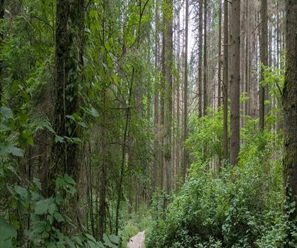
Bridle Path
Vancouver Coast Mountains
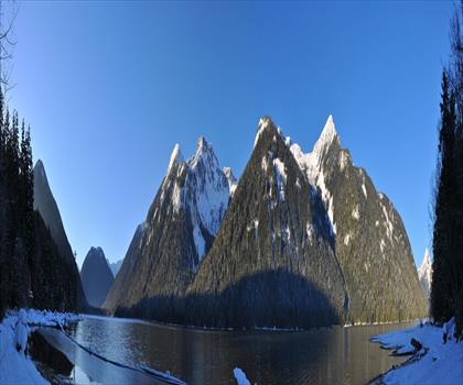
Flora Lake
Vancouver Coast Mountains

Alouette Mountain
Vancouver Coast Mountains
Williamson Lake
Vancouver Coast Mountains
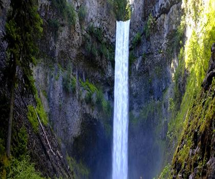
Brandywine Mountain
Vancouver Coast Mountains

Coliseum Mountain
Vancouver Coast Mountains
Hiking near Vancouver
235 trails to explore ~23 km away
We work hard to provide the most up-to-date and error-free data possible. If something seems incorrect, let us know! Your contribution helps the whole community.
Hikers' opinions
Be the first to review!
No hiker has shared their experience yet. Share your impressions and help other hikers!