

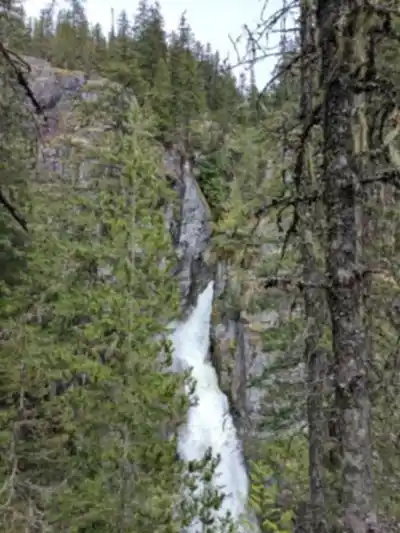
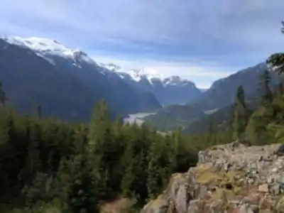
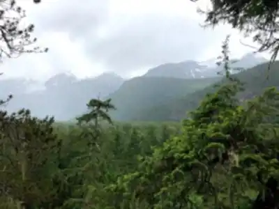
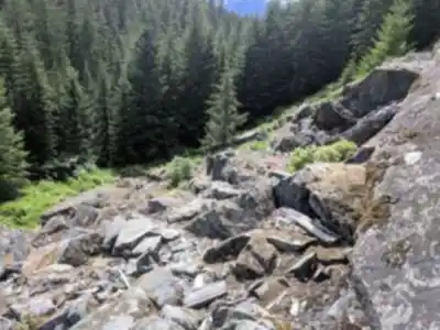
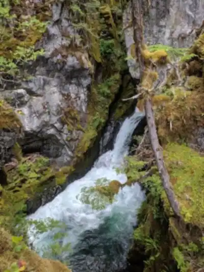
Ready to explore High Falls Creek (Trailhead)? Here's everything you need to know before you go!
Discover the trail
6
community photos
Trail description
Désolé, nous n'avons pas de description pour cet endroit.
Soyez le premier à partager plus d'informations sur cet endroit.
Soyez le premier à partager plus d'informations sur cet endroit.
Recommended gear for this trail
LGPO Pick

Salomon
Elixir Tour Mid WP
Waterproof mid-height boot ideal for rocky terrain
203.38 $


Affiliate links — LGPO may earn a commission at no extra cost to you.
Ready to go?
Everything you need to know before you goStarting Point
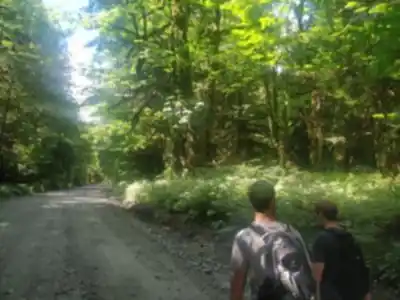
The start of the trails at the High Falls Creek in British Columbia can be accessed by travelling east on Highway 3 from Princeton, British Columbia. The trailhead is located approximately 5 kilometres past the town of Keremeos.
When?
Opening hours
From sunrise to sunset
Varies by season
Best season
Fall
Spectacular colors
Best time
Early morning
Less crowded
Weather (next days)
Loading
How much?
Entry fees
Adult
Not available
Child
—
What to bring?
Gear
- Hiking shoes Essential
- → Salomon Elixir Tour Mid WP · 203.38 $
- Layered clothing Essential
- Rain jacket Essential
- Trekking poles
- → Black Diamond Trail Ergo Cork · 69.99 $
- Headlamp
- → Petzl Actik Core 625 · 103.95 $
Water & food
2L minimum
No water point on the trail
Bring energy snacks for a 4h+ hike
Good to know
Park rules
No dogs
Safety
Download the GPX before you go
Limited cellular coverage on the trail
Slippery after rain
Be careful on rocky sections
In an emergency
Emergency
911
Parking GPS
49.9379079, -123.2990884
Center
Not available
FAQ - Frequently asked questions
Everything you need to knowModerate
650.00
5h30
No
No
The High Falls Creek trail is rated as moderate difficulty. With 650 meters of elevation gain over 15 km and a duration of approximately 5.5 hours, it requires a reasonable level of fitness but is manageable for most hikers with some experience.
The High Falls Creek trail is accessible from sunrise to sunset only. Plan your hike accordingly to ensure you complete the 5.5-hour trek and exit the trail before dark.
Didn't find your answer?
Free
1 pages
The Essential Hiking Checklist
Everything you need for your next hike. Bilingual, printable, 1 page.
Download the free checklistSimilar hikes nearby
Discover other trails you might enjoy

Bridle Path
Vancouver Coast Mountains
2h30
600 m
Intermediate
5.0
(25)
Flora Lake
Vancouver Coast Mountains
20 KM
8h
1200 m
Advanced
5.0
(32)

Alouette Mountain
Vancouver Coast Mountains
16 km
6h30
1188 m
Advanced
5.0
(7)

Williamson Lake
Vancouver Coast Mountains
13 KM
4h15
660 m
Intermediate
5.0
(25)
Brandywine Mountain
Vancouver Coast Mountains
14 km
6h30
1100 m
Advanced
5.0
(13)

Coliseum Mountain
Vancouver Coast Mountains
3.2 KM
1h30
902 m
Intermediate
5.0
(9)
Top 10 best hiking in Vancouver Coast Mountains
Our ranking based on hiker reviews
Hiking near Squamish
211 trails to explore ~28 km away
Did you spot an error?
We work hard to provide the most up-to-date and error-free data possible. If something seems incorrect, let us know! Your contribution helps the whole community.
Hikers' opinions