


Ready to explore Pitt Meadows? Here's everything you need to know before you go!
Discover the trail
Trail description
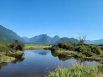
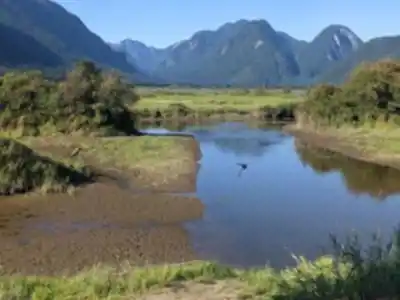
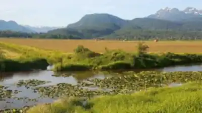
Pitt Meadows is located in the Fraser Valley lowlands, offering walkers and cyclists access to a well-maintained riverside corridor and wetland ecosystem. This isn't just one trail—it's a network of interconnected paths where the Pitt River winds through agricultural farmland and natural wetlands. The Pitt River Regional Greenway forms the backbone of the area, designated as part of The Trans Canada Trail and shared by hikers, cyclists, and horses.
What makes Pitt Meadows special is its flat, accessible terrain and diverse birdlife. The trail follows the meandering Pitt River on one side with farmland vistas on the other, creating a peaceful environment ideal for nature observation. The region's position in the Fraser Valley creates a unique ecosystem where you'll encounter waterfowl, wading birds, and occasionally bald eagles soaring overhead or perched in tall riverside snags.
Trail Options and Terrain
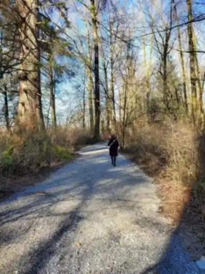
The Pitt River Greenway forms the main hiking and cycling route through the area. This riverside path is well-maintained and relatively flat, making it perfect for families, beginners, and anyone looking for a relaxed outdoor experience. The wide trails accommodate hikers, cyclists, and equestrian users without conflicts. Parking is available at both ends of the trail and at several points along the route, making access convenient.
The terrain features minimal elevation gain, with maximum elevations around 11 meters. This makes the trails suitable for all fitness levels and ages. The landscape transitions between river views and open farmland, punctuated by sections of natural vegetation and wetlands that support the area's rich wildlife.
The Hiking and Cycling Experience
The well-maintained trail network means navigation is straightforward, allowing you to focus on enjoying the natural surroundings and wildlife observation. The wide paths accommodate multiple users comfortably, and the lack of technical challenges makes this an ideal introduction to outdoor recreation in the Lower Mainland.
Trail conditions remain relatively stable year-round due to the flat terrain and good trail maintenance. The network is accessible for both day walks and longer cycling excursions, with parking and facilities at key points.
Wildlife and Natural Features
The wetland areas along the river are particularly rich habitats, serving as crucial areas for waterfowl and wading birds. Bald eagles are a common sight, often perched in tall snags along the riverbank or soaring overhead. The seasonal changes in water levels create different viewing opportunities throughout the year, with various bird species visible depending on the season.
The river itself is a significant feature—you'll observe herons fishing in the shallows and may encounter deer grazing in nearby meadows during early morning or late afternoon hours. The combination of water, farmland, and natural vegetation supports a diverse ecosystem accessible from the trail.
Seasonal Considerations and Planning
Spring and fall offer comfortable walking and cycling conditions. Spring brings increased wildlife activity and water levels fed by seasonal runoff. Fall transforms the landscape with seasonal color changes and cooler temperatures ideal for activity.
Summer provides the warmest conditions for outdoor recreation, though afternoon heat can be significant. No shade is available along portions of the trail, so sun protection is essential year-round. Winter remains accessible on lower elevation sections, offering a peaceful experience when crowds diminish.
Practical Considerations
Sun protection is crucial, as there is no shade along significant portions of the trail. Bring sunscreen, hats, and sun-protective clothing. The area's proximity to Vancouver means popular sections can become crowded on weekends, particularly near parking areas at Harris Landing Park and Shoreline Park. Starting early helps avoid crowds and provides better wildlife viewing opportunities.
Water sources are available along the river but should be treated before drinking. The flat terrain and accessible nature of these trails make them ideal for families, recreational cyclists, and those seeking an easy outdoor experience in the Fraser Valley.
Recommended gear for this trail
As an Amazon Associate I earn from qualifying purchases.


Ready to go?
Everything you need to know before you goStarting Point
The pitt meadows is located in British Columbia. To get to the start of the trails, take the Lougheed Highway to the pitt meadows exit. Turn left onto Harris Road and drive until you reach the end of the road. The trailhead is located at the end of Harris Road.
When?
How much?
As an Amazon Associate I earn from qualifying purchases.
Affiliate links — LGPO may earn a commission at no extra cost to you.
- Hiking shoes Essential
- → Salomon Elixir Tour Mid WP · 203.38 $
- Layered clothing Essential
- Rain jacket Essential
- Trekking poles
- → Black Diamond Trail Ergo Cork · 69.99 $
- Headlamp
- → Petzl Actik Core 625 · 103.95 $
FAQ - Frequently asked questions
Everything you need to know
25 hikes under 2 hours from Montreal
Distance, elevation, parking and season for each one. The ones we go back to ourselves.
Get the guideSimilar hikes nearby
Discover other trails you might enjoy
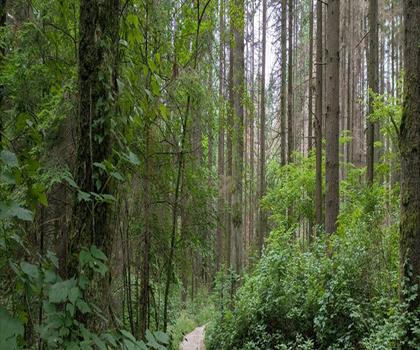
Bridle Path
Vancouver Coast Mountains
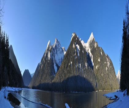
Flora Lake
Vancouver Coast Mountains

Alouette Mountain
Vancouver Coast Mountains
Williamson Lake
Vancouver Coast Mountains
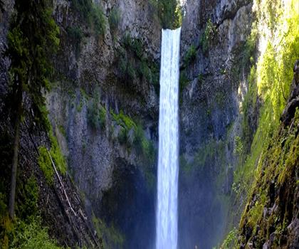
Brandywine Mountain
Vancouver Coast Mountains

Coliseum Mountain
Vancouver Coast Mountains
Hiking near Vancouver
235 trails to explore ~32 km away
We work hard to provide the most up-to-date and error-free data possible. If something seems incorrect, let us know! Your contribution helps the whole community.
Hikers' opinions
Be the first to review!
No hiker has shared their experience yet. Share your impressions and help other hikers!