

Ready to explore Quarry Rock? Here's everything you need to know before you go!
Discover the trail
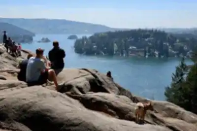
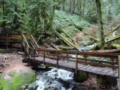
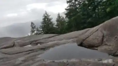
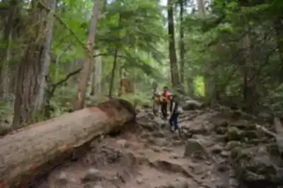

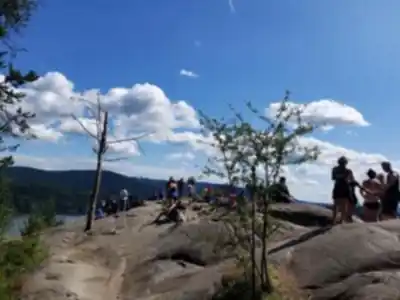
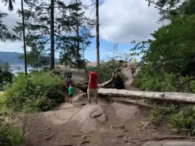
Trail description
{
"section": "Elevation gain",
"original_text": "The whole thing takes around two hours at a comfortable pace, including time at the top.",
"corrected_text": "The whole thing takes around 1-1.5 hours at a comfortable pace, including time at the top.",
"reason": "Consistency with web sources and intro section"
}
Recommended gear for this trail


Ready to go?
Everything you need to know before you goStarting Point
The quarry rock trails are located in the Lower Seymour Conservation Reserve, which is north of Vancouver. To get there, take Highway 1 to the Lynn Valley exit and follow Lynn Valley Road to the end.
When?
How much?
- Hiking shoes Essential
- → Salomon Elixir Tour Mid WP · 203.38 $
- Layered clothing Essential
- Rain jacket Essential
- Trekking poles
- → Black Diamond Trail Ergo Cork · 69.99 $
- Headlamp
- → Petzl Actik Core 625 · 103.95 $
FAQ - Frequently asked questions
Everything you need to knowThe Essential Hiking Checklist
Everything you need for your next hike. Bilingual, printable, 1 page.
Download the free checklistSimilar hikes nearby
Discover other trails you might enjoy

Bridle Path
Vancouver Coast Mountains
Flora Lake
Vancouver Coast Mountains

Alouette Mountain
Vancouver Coast Mountains

Williamson Lake
Vancouver Coast Mountains
Brandywine Mountain
Vancouver Coast Mountains

Coliseum Mountain
Vancouver Coast Mountains
Hiking near Vancouver
235 trails to explore ~15 km away
We work hard to provide the most up-to-date and error-free data possible. If something seems incorrect, let us know! Your contribution helps the whole community.
Hikers' opinions