


Ready to explore Squamish Chief? Here's everything you need to know before you go!
Discover the trail
Trail description
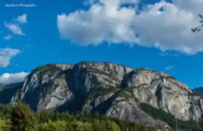
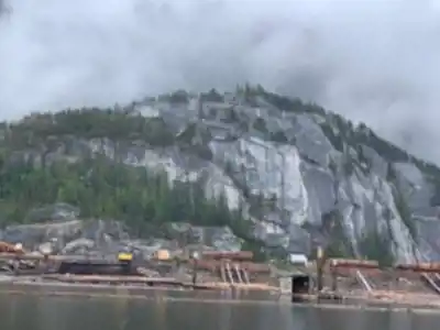
The Stawamus Chief — known simply as "The Chief" to anyone who's spent time in Squamish — is one of the most recognizable landmarks in British Columbia. This massive granite monolith rises 700 meters above sea level above the town of Squamish, dominating the skyline along the Sea-to-Sky Highway. It's one of the largest granite monoliths in North America, and hiking to its summits is one of the most rewarding day trips you can do in the Vancouver Coast Mountains.
The trailhead sits just off Highway 99, roughly an hour north of Vancouver, which makes The Chief an easy target for a day out of the city. Don't let the convenience fool you — this is a genuinely demanding hike. With 702 meters of elevation gain packed into 3.8 kilometers, the trail climbs hard and doesn't apologize for it. Budget around 3 hours and 15 minutes for the round trip, and expect your legs to know about it the next day.
The Three Peaks
The Chief offers three distinct summits, each with its own personality. Most hikers target one or two on a given day, though some push through all three.
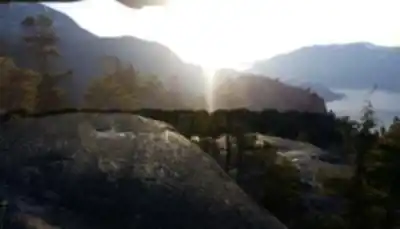
First Peak is the most popular destination on the mountain. The trail climbs steadily through coastal forest before breaking out onto the granite summit plateau. It's the most accessible of the three, and the views across Howe Sound — with its scattered islands and the town of Squamish spread out below — are the payoff most people come for. Expect company on weekends.
Second Peak requires more commitment. The ascent is steeper, the terrain more demanding, and the round trip takes noticeably longer than First Peak. The upside is a less crowded summit with equally impressive views from a different angle. Hikers who find First Peak too busy often prefer the relative quiet up here.
Third Peak is the highest and most remote of the three. Fewer people make it this far, and the sense of space at the top reflects that. The views stretch across the full sweep of the surrounding mountain ranges and the waters of Howe Sound. It's the full Chief experience, and it earns its reputation as the most challenging of the three summits.
Terrain and Trail Character
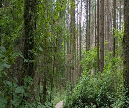
The lower sections of the trail move through classic coastal BC forest — dense stands of Douglas fir, western red cedar, and hemlock, with a rich understory of ferns and salmonberry. It's cool and shaded down here, which is welcome on a warm day.
As elevation builds, the character of the hike shifts. The trail gets steeper and rockier, eventually giving way to sections of open granite slab and boulder scrambling. At the most exposed and technical points — particularly where the route crosses steep rock faces — the trail builders have installed chains and ladders. These are well-placed and genuinely useful, but they demand attention, especially when the granite is wet. Rain makes the rock slippery in a hurry, and conditions can change fast in the Coast Mountains.
The granite itself is part of what makes this place special. This massive pluton formed deep underground and was gradually exposed through millions of years of erosion, creating the dramatic cliff faces that have made The Chief a world-class rock climbing destination. On any given day, you'll likely spot climbers working the vertical walls as you make your way up the hiking trails. The two uses of the mountain coexist well, and it adds an interesting dimension to the experience.
Wildlife and Natural Features
The Chief supports a solid range of wildlife across its different elevation zones. Black bears move through the area, particularly during berry season in late summer — standard awareness applies. Chipmunks and squirrels are a constant presence on the trail, and the forest birds include Steller's jays, varied thrushes, and several woodpecker species. Ravens are a regular sight near the summits, working the updrafts off the granite faces.
The vegetation shifts noticeably as you gain elevation. The lush forest floor gives way to hardier species adapted to thin soils and exposed conditions. In spring and early summer, wildflowers push up through the granite landscape, and the stunted trees near the summits are a good reminder of how tough conditions get up there through the winter.
What to Know Before You Go
Footwear matters on this trail. Sturdy hiking boots with good traction are the right call — trail runners can work for experienced hikers, but the wet granite sections are unforgiving with anything less than solid grip. Bring more water than you think you need. There are no reliable water sources along the trail, and the combination of steep climbing and heat-reflecting granite can drain you faster than expected.
Timing your visit makes a real difference. Weekends and holidays bring significant crowds, and the chain and ladder sections can create bottlenecks that slow everyone down. An early start helps on two fronts — you beat the worst of the congestion, and you're more likely to get clear views before afternoon clouds build around the peaks. Weekday visits are noticeably quieter and generally more enjoyable.
Weather in the Coast Mountains can shift quickly, so carrying a rain layer is worth the extra weight in your pack regardless of what the forecast says when you leave the car. The upper trail is exposed, and what feels mild at the trailhead can feel considerably less mild on the summit.
Heavy use puts real pressure on the mountain environment, so Leave No Trace principles apply here more than most places. Pack out everything you bring in, stay on the designated trails to limit erosion, and keep food secured — the wildlife here has learned that humans often mean an easy meal, and that's a dynamic worth not encouraging.
Recommended gear for this trail
As an Amazon Associate I earn from qualifying purchases.


Ready to go?
Everything you need to know before you goStarting Point
The squamish chief is located in the town of Squamish, British Columbia. To get to the start of the trails, drive into town and follow the signs to the Chief. The trailhead is located at the end of the road.
When?
Tuesday: 8:30 AM – 4:30 PM
Wednesday: 8:30 AM – 4:30 PM
Thursday: 8:30 AM – 4:30 PM
Friday: 8:30 AM – 4:00 PM
Saturday: Closed
Sunday: Closed
How much?
As an Amazon Associate I earn from qualifying purchases.
Affiliate links — LGPO may earn a commission at no extra cost to you.
- Hiking shoes Essential
- → Salomon Elixir Tour Mid WP · 203.38 $
- Layered clothing Essential
- Rain jacket Essential
- Trekking poles
- → Black Diamond Trail Ergo Cork · 69.99 $
- Headlamp
- → Petzl Actik Core 625 · 103.95 $
FAQ - Frequently asked questions
Everything you need to know
25 hikes under 2 hours from Montreal
Distance, elevation, parking and season for each one. The ones we go back to ourselves.
Get the guideSimilar hikes nearby
Discover other trails you might enjoy
Bridle Path
Vancouver Coast Mountains
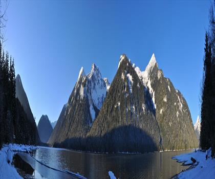
Flora Lake
Vancouver Coast Mountains

Alouette Mountain
Vancouver Coast Mountains
Williamson Lake
Vancouver Coast Mountains
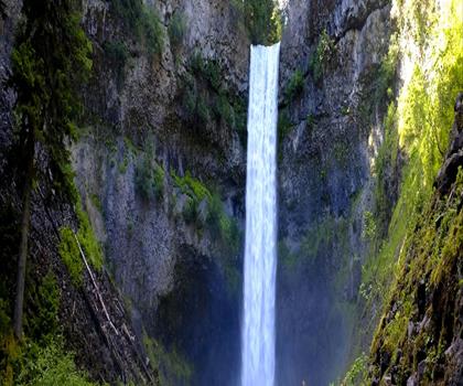
Brandywine Mountain
Vancouver Coast Mountains

Coliseum Mountain
Vancouver Coast Mountains
Hiking near Squamish
211 trails to explore ~0 km away
We work hard to provide the most up-to-date and error-free data possible. If something seems incorrect, let us know! Your contribution helps the whole community.
Hikers' opinions
Be the first to review!
No hiker has shared their experience yet. Share your impressions and help other hikers!