

Ready to explore Della Falls? Here's everything you need to know before you go!
Discover the trail
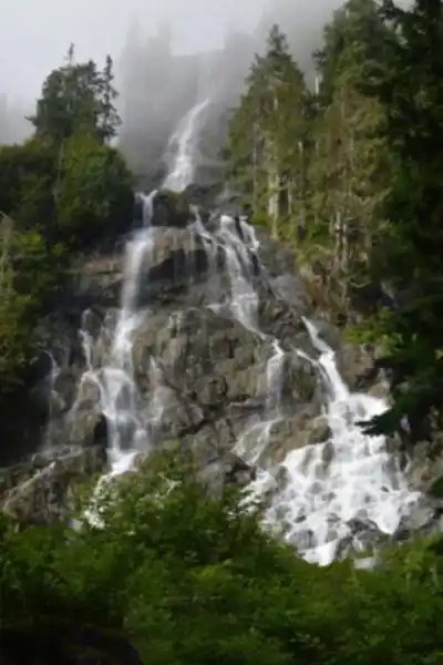
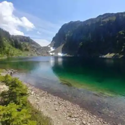
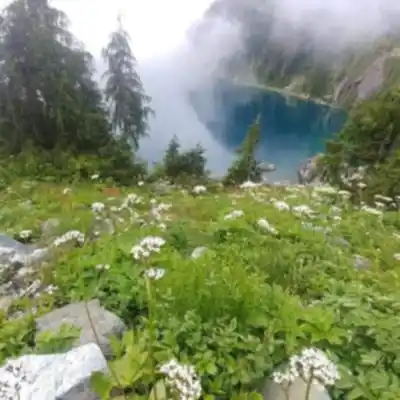
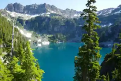
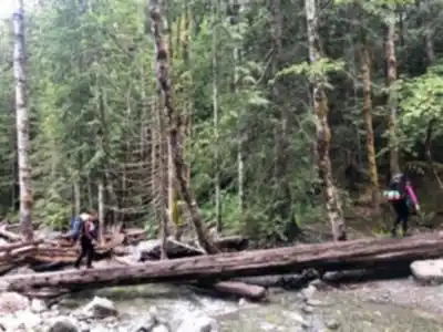
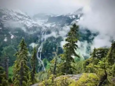
Trail description
{
"waterfall_height_correction": "Change '440 meters (1,443 feet)' to '444 meters (1,456 feet)' to match web sources",
"duration_correction": "In Essential Preparation section, change 'you'll be out for a full day' to explicitly state 'you'll be out for 9-10+ hours or plan as a 2-3 day backcountry trip with overnight camping'",
"html_content": "Keep all other description content as-is. Add clarification: 'While the one-way distance is approximately 15-16 km, the full round trip totals 30-32 km, making this a serious undertaking requiring either exceptional fitness for a day hike or planning for an overnight camping trip.'"
}
Recommended gear for this trail


Ready to go?
Everything you need to know before you goStarting Point
The start of the trails at the della falls can be accessed from Port Alberni. From there, take Highway 4 west to the junction of Highway 4 and Highway 28. Head north on Highway 28 to Campbell River and then take the ferry from Campbell River to Quadra Island. From Quadra Island, take the Heriot Bay Road north to della falls.
When?
How much?
- Hiking shoes Essential
- → Salomon Elixir Tour Mid WP · 203.38 $
- Layered clothing Essential
- Rain jacket Essential
- Trekking poles
- → Black Diamond Trail Ergo Cork · 69.99 $
- Headlamp
- → Petzl Actik Core 625 · 103.95 $
FAQ - Frequently asked questions
Everything you need to knowThe Essential Hiking Checklist
Everything you need for your next hike. Bilingual, printable, 1 page.
Download the free checklistSimilar hikes nearby
Discover other trails you might enjoy

Sandbar Trail
Vancouver Island

Old Baldy Mountain Trail
Vancouver Island
Wittys Lagoon
Vancouver Island
Mount Cain
Vancouver Island
Kings Peak
Vancouver Island
Buttle Lake
Vancouver Island
Hiking near Nanaimo
212 trails to explore ~120 km away
We work hard to provide the most up-to-date and error-free data possible. If something seems incorrect, let us know! Your contribution helps the whole community.
Hikers' opinions
Be the first to review!
No hiker has shared their experience yet. Share your impressions and help other hikers!