


Ready to explore Lake Cowichan? Here's everything you need to know before you go!
Discover the trail


Trail description
The main Lake Cowichan trail covers 5 kilometers with 300 meters of elevation gain, making it an easy hike that most people can complete in approximately 2 hours and 40 minutes to 2 hours and 50 minutes. This trail showcases the area's diverse landscapes as you move between dense forest sections and open areas with lake views. The path is well-maintained and clearly marked, though you'll encounter some root systems and occasional muddy patches, especially after rain.
The Essential Hiking Checklist
Everything you need for your next hike. Bilingual, printable, 1 page.
Get your free hiking checklistRecommended gear for this trail
As an Amazon Associate I earn from qualifying purchases.


Ready to go?
Everything you need to know before you goStarting Point
The start of the trails at the lake cowichan can be accessed by travelling east on Highway 18 from Duncan. The trailhead is located on the north side of the highway, just west of the bridge over the Cowichan River.
When?
As an Amazon Associate I earn from qualifying purchases.
Affiliate links — LGPO may earn a commission at no extra cost to you.
- Hiking shoes Essential
- → Salomon Elixir Tour Mid WP · 203.38 $
- Layered clothing Essential
- Rain jacket Essential
- Trekking poles
- → Black Diamond Trail Ergo Cork · 69.99 $
- Headlamp
- → Petzl Actik Core 625 · 103.95 $
FAQ - Frequently asked questions
Everything you need to knowSimilar hikes nearby
Discover other trails you might enjoy
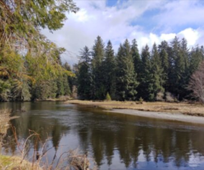
Sandbar Trail
Vancouver Island
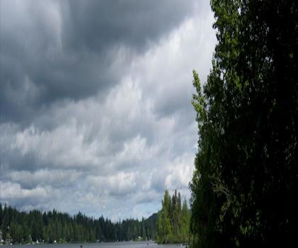
Old Baldy Mountain Trail
Vancouver Island
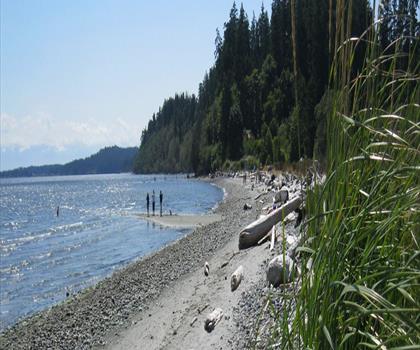
Wittys Lagoon
Vancouver Island

Mount Cain
Vancouver Island
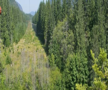
Kings Peak
Vancouver Island
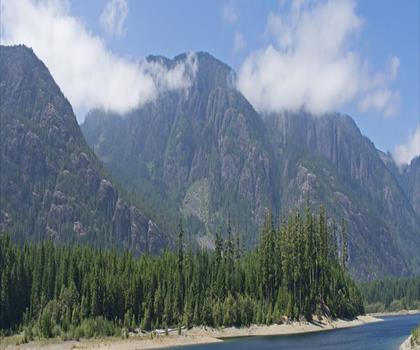
Buttle Lake
Vancouver Island
Hiking near Nanaimo
212 trails to explore ~39 km away
We work hard to provide the most up-to-date and error-free data possible. If something seems incorrect, let us know! Your contribution helps the whole community.
Hikers' opinions
Be the first to review!
No hiker has shared their experience yet. Share your impressions and help other hikers!