
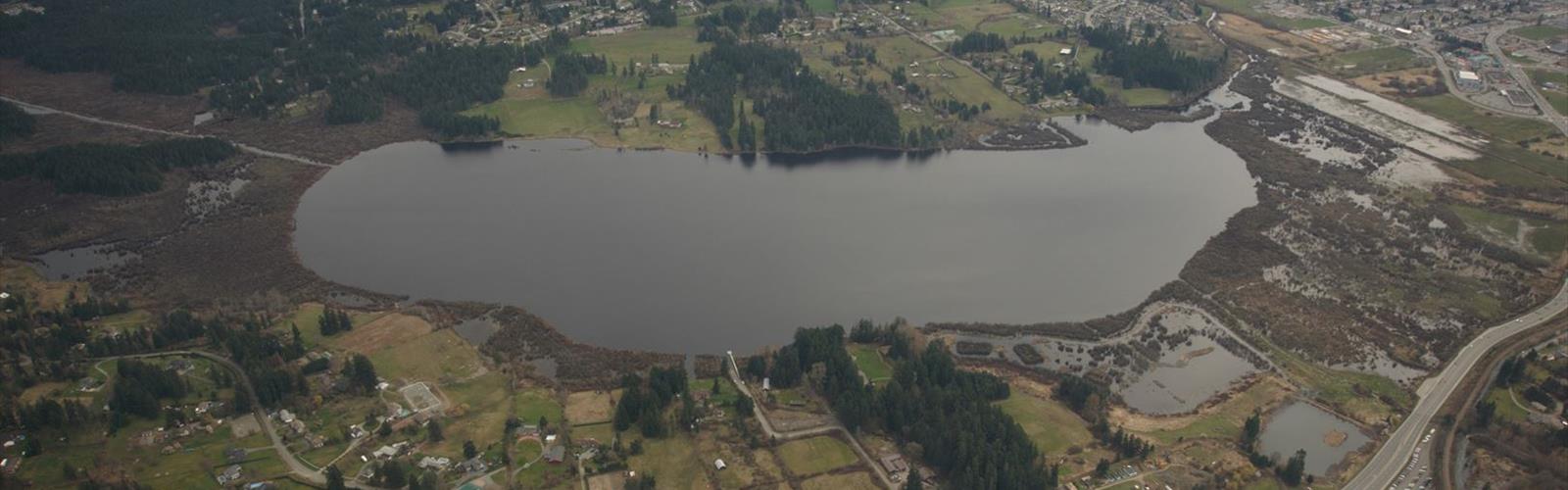

Ready to explore Mount Prevost? Here's everything you need to know before you go!
Discover the trail
Trail description
Mount Prevost rises from the heart of Vancouver Island as one of the region's most rewarding hiking destinations, offering everything from peaceful forest walks to challenging summit climbs. Located within easy reach of Duncan and Nanaimo, this mountain delivers the kind of diverse outdoor experience that keeps hikers coming back throughout the seasons.
The Trail Experience
The main trailhead sits at the mountain's base, where parking is available though spaces fill quickly during peak hiking season—arriving early is your best strategy for securing a spot. From here, well-marked paths wind upward through a landscape dominated by towering Douglas firs and rich undergrowth that creates a classic Pacific Northwest forest atmosphere.
What makes Mount Prevost particularly appealing is its variety of route options. The trail system accommodates everyone from families looking for a gentle forest stroll to experienced hikers ready to tackle the full ascent. As you climb, the path reveals itself in stages, with multiple lookout points breaking up the journey and offering different perspectives of the surrounding terrain.
The forest canopy provides natural shade for much of the route, making this a comfortable hike even during warmer months. The trail surface varies from soft forest floor to rockier sections as you gain elevation, requiring sturdy footwear but remaining accessible to most hikers with basic outdoor experience.
Summit Rewards and Views
The summit of Mount Prevost delivers some of Vancouver Island's most expansive views, stretching across the Cowichan Valley and extending to the shimmering waters of the Strait of Georgia on clear days. The 505-meter elevation gain creates enough height to provide genuine panoramic vistas without requiring technical climbing skills.
At the top, you'll encounter more than just scenic views. A war memorial dedicated to local soldiers who served in World War I adds historical depth to the experience, creating a moment of reflection that many hikers find meaningful. This memorial represents the mountain's connection to the local community and adds cultural significance to what might otherwise be purely a recreational outing.
The summit area provides space to rest, eat, and take in the surroundings. On clear days, the views extend far enough to make the climb feel genuinely rewarding, while even on partially cloudy days, the changing light and shadow across the valley below creates compelling scenery.
Wildlife and Natural Features
Mount Prevost supports rich biodiversity that changes with the seasons and adds wildlife viewing opportunities to your hike. Black-tailed deer frequent the area, often visible in early morning or late afternoon when they're most active. The forest hosts numerous bird species that create a soundtrack of calls and songs throughout the canopy.
Spring and summer transform the mountain into a showcase of wildflower displays. The undergrowth bursts with vibrant colors that create natural photo opportunities and demonstrate the area's ecological health. These seasonal changes mean Mount Prevost offers different experiences depending on when you visit, from the fresh greens of spring growth to the rich colors of fall foliage.
The Douglas fir forest that dominates the landscape represents classic Vancouver Island ecology. These massive trees create cathedral-like spaces along the trail, with filtered sunlight creating dramatic lighting effects that change throughout the day. The forest floor supports diverse plant communities that thrive in this coastal mountain environment.
Planning Your Visit
Preparation makes the difference between a good hike and a great one on Mount Prevost. Sturdy hiking footwear is essential, as trail conditions vary from soft forest paths to rockier terrain near the summit. The elevation gain of 505 meters means you'll work up a sweat, making plenty of water and energy snacks important for maintaining comfort and safety.
Weather on Vancouver Island can change rapidly, particularly at elevation. Dressing in layers allows you to adjust as conditions shift and as your body temperature changes during the climb. Even on warm days, the summit can be cooler and windier than the trailhead.
The mountain's accessibility from Duncan and Nanaimo makes it an excellent day trip option for visitors exploring Vancouver Island. The proximity to these towns means you can easily combine a Mount Prevost hike with other regional activities or use it as a highlight of a longer Vancouver Island adventure.
What Sets Mount Prevost Apart
Among Vancouver Island's many hiking options, Mount Prevost stands out for its combination of accessibility and reward. The trail system's flexibility means groups with different fitness levels can enjoy the mountain together, with some members choosing shorter routes while others continue to the summit.
The historical element provided by the war memorial adds depth that many purely recreational trails lack. This connection to local history creates a sense of place that goes beyond just physical exercise and scenic views.
The mountain's location in the Cowichan Valley positions it perfectly for showcasing the region's geography. From the summit, you gain perspective on how the valley, forests, and waterways fit together to create Vancouver Island's distinctive landscape character.
Mount Prevost delivers the quintessential Vancouver Island hiking experience—dense coastal forests, meaningful elevation gain, rewarding summit views, and rich natural diversity all packaged in a format that works for a wide range of outdoor enthusiasts.
The Essential Hiking Checklist
Everything you need for your next hike. Bilingual, printable, 1 page.
Get your free hiking checklistRecommended gear for this trail
As an Amazon Associate I earn from qualifying purchases.


Ready to go?
Everything you need to know before you goStarting Point
The mount prevost trails can be accessed from the mount prevost parking lot. The lot is located on the east side of the mountain, just off of Highway 1.
When?
How much?
As an Amazon Associate I earn from qualifying purchases.
Affiliate links — LGPO may earn a commission at no extra cost to you.
- Hiking shoes Essential
- → Salomon Elixir Tour Mid WP · 203.38 $
- Layered clothing Essential
- Rain jacket Essential
- Trekking poles
- → Black Diamond Trail Ergo Cork · 69.99 $
- Headlamp
- → Petzl Actik Core 625 · 103.95 $
FAQ - Frequently asked questions
Everything you need to knowSimilar hikes nearby
Discover other trails you might enjoy
Sandbar Trail
Vancouver Island
Old Baldy Mountain Trail
Vancouver Island
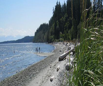
Wittys Lagoon
Vancouver Island

Mount Cain
Vancouver Island
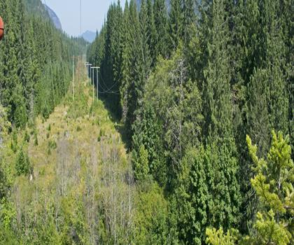
Kings Peak
Vancouver Island
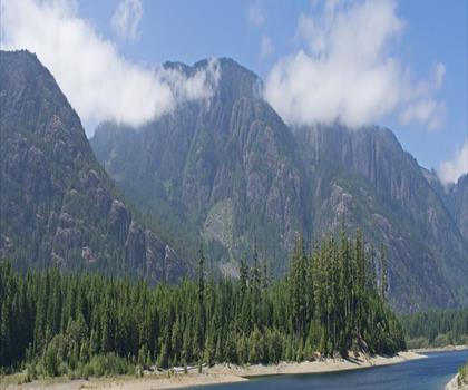
Buttle Lake
Vancouver Island
Hiking near Nanaimo
212 trails to explore ~39 km away
We work hard to provide the most up-to-date and error-free data possible. If something seems incorrect, let us know! Your contribution helps the whole community.
Hikers' opinions
Be the first to review!
No hiker has shared their experience yet. Share your impressions and help other hikers!