
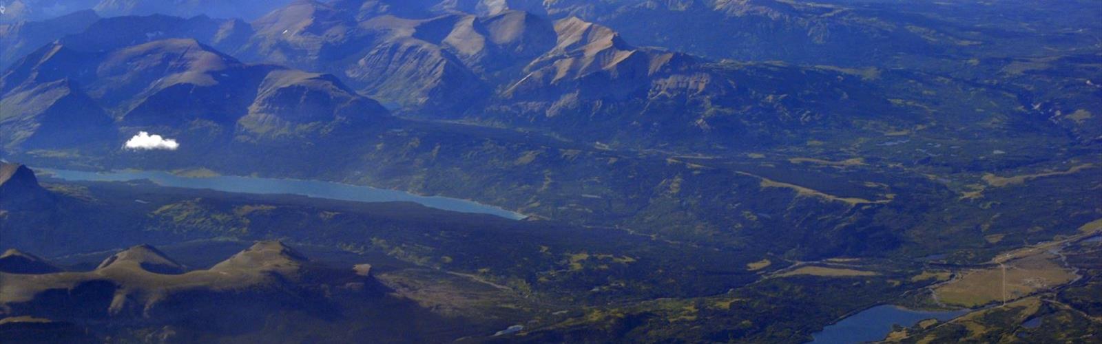

Ready to explore St Mary Lake? Here's everything you need to know before you go!
Discover the trail
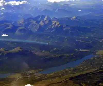
Photos: Joe Mabel (on Flickr as Joe Mabel from Seattle, US) — CC BY-SA 3.0 (Wikimedia Commons)
Trail description
St. Mary Lake is an officially named lake on Salt Spring Island, British Columbia (Saltspring Island land district).
Channel Ridge Trails
The Capital Regional District (CRD) describes the Channel Ridge Trails community park on Salt Spring Island: over 15 kilometres of trails in total, rated moderate, with lookouts over St. Mary Lake and Stuart Channel. The trails are reached through an agreement with the owners of Channel Ridge Properties.
- Most trails are open to hikers, non-motorized cyclists and equestrians; trails on Watershed Preservation Society lands are for hikers only.
- Eight access points: five on the north end and three on the south end of the Channel Ridge lands.
Before you go
For dog rules, opening hours and fees, contact the CRD (Salt Spring Island Parks, Arts, Recreation & Culture, 250 537-1402) before your outing.
The Essential Hiking Checklist
Everything you need for your next hike. Bilingual, printable, 1 page.
Get your free hiking checklistRecommended gear for this trail
As an Amazon Associate I earn from qualifying purchases.


Ready to go?
Everything you need to know before you goStarting Point
The CRD lists eight access points to the Channel Ridge Trails (five north, three south) and mentions a parking area near Sunset Drive. Check the CRD map before you go.
When?
As an Amazon Associate I earn from qualifying purchases.
Affiliate links — LGPO may earn a commission at no extra cost to you.
- Hiking shoes Essential
- → Salomon Elixir Tour Mid WP · 203.38 $
- Layered clothing Essential
- Rain jacket Essential
- Trekking poles
- → Black Diamond Trail Ergo Cork · 69.99 $
- Headlamp
- → Petzl Actik Core 625 · 103.95 $
FAQ - Frequently asked questions
Everything you need to knowSimilar hikes nearby
Discover other trails you might enjoy
Sandbar Trail
Vancouver Island
Old Baldy Mountain Trail
Vancouver Island
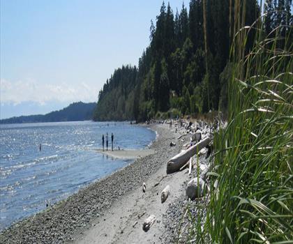
Wittys Lagoon
Vancouver Island

Mount Cain
Vancouver Island
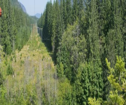
Kings Peak
Vancouver Island
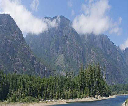
Buttle Lake
Vancouver Island
Hiking near Nanaimo
212 trails to explore ~42 km away
We work hard to provide the most up-to-date and error-free data possible. If something seems incorrect, let us know! Your contribution helps the whole community.
Hikers' opinions
Be the first to review!
No hiker has shared their experience yet. Share your impressions and help other hikers!