

Ready to explore Pine Point Rapids? Here's everything you need to know before you go!
Discover the trail
Trail description
Pine Point Rapids is one of those hikes that delivers more than its size suggests. Located in Whiteshell Provincial Park in Manitoba, this short trail packs in forest walking, boardwalk sections over wetlands, and a genuine rapids experience — all within a 1.5-kilometer route that most hikers will find comfortable and rewarding.
The Trail
With only 10 meters of elevation gain and a distance of 1.5 km, Pine Point Rapids sits firmly in the easy category. The trail is well-marked and well-maintained, so navigation is never a concern. You can spend your energy taking in the surroundings rather than watching your footing on technical terrain.
The path moves through dense forest dominated by towering pines, which create a shaded, cathedral-like atmosphere even on bright summer days. As the trail progresses, it opens up toward the Winnipeg River, where the character of the landscape shifts noticeably. Boardwalk sections carry you over marshy, low-lying areas that would otherwise be difficult to cross — these elevated stretches offer some of the best vantage points along the route, putting you right above the wetland ecosystem rather than skirting around it.
The combination of forest floor, boardwalk, and riverside terrain gives the hike a varied feel that belies its short distance. Even at an easy pace with time spent at the rapids, plan for around two hours on the trail.
Pine Point Rapids
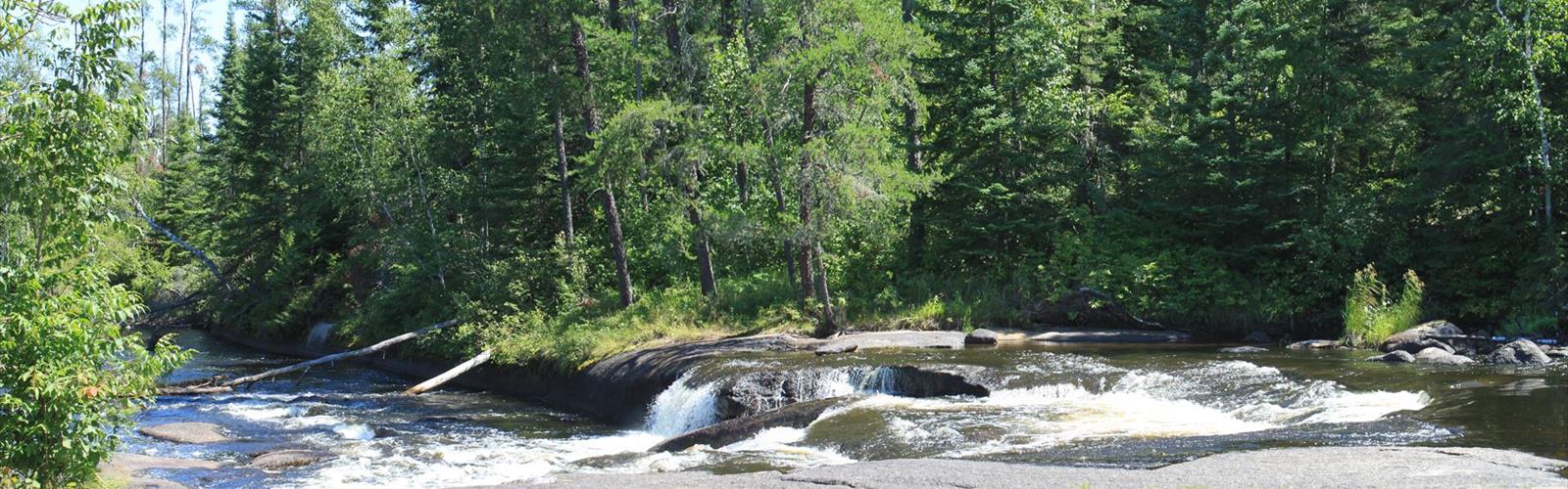
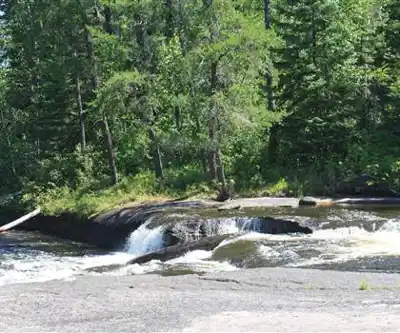
The rapids are the clear draw here, and they earn the attention. Water moves over smooth, time-worn rock formations with enough force to create a constant rush of sound that reaches you well before the falls come into view. When you arrive, there are several natural vantage points around the rocks where you can watch the water up close, take photos, or simply sit and let the sound do its thing.
The rock formations themselves invite a closer look, though wet surfaces call for careful footing. The area around the rapids is spacious enough that groups can spread out comfortably, and it's a natural spot to stop for a snack or a longer break. Many visitors end up spending more time here than they expected — the setting has a way of slowing things down.
In spring, snowmelt pushes the water levels higher, making the rapids more dramatic. Summer brings a steadier flow and warmer conditions for lingering. Each season changes the experience in a meaningful way.
Wildlife and Natural Features
The ecosystem along the trail supports a solid variety of wildlife. Deer are a common sight in the forested sections, particularly in the early morning and late afternoon. Foxes are present in the area as well, though they tend to stay out of sight. Bird activity is consistent throughout the route, with species spread across both the forest canopy and the river corridor.
The plant life shifts as you move through the different zones. The pine forest is dense and aromatic, with filtered light coming through the canopy. Closer to the river and in the open areas near the boardwalks, wildflowers appear through spring and summer, adding color to the edges of the trail. The contrast between these two environments — closed forest and open riverside — is part of what makes the hike feel more substantial than a quick out-and-back.
Seasonal Notes
Summer is the busiest season, with warm temperatures and full foliage making it a popular choice for families and casual hikers. Insect repellent is worth bringing during this period, especially near the boardwalk sections where mosquitoes are active in marshy areas.
Fall brings a noticeable shift in the forest as deciduous trees mixed among the pines turn color, making the trail particularly scenic in September and October. Cooler temperatures and reduced insect pressure make for comfortable hiking conditions.
Winter is possible with appropriate gear, though trail conditions require more attention. Spring offers fresh growth and higher water at the rapids, but expect muddy sections on lower ground and slippery boardwalks after wet weather.
What to Bring
Sturdy footwear with good traction is the most important item — the boardwalks can be slick when wet, and the terrain near the rapids involves uneven rock surfaces. Bring water, as there are no refill points along the route. If you plan to spend time at the rapids, a snack or light lunch makes the stop more enjoyable.
Check current trail conditions before heading out, particularly after heavy rain or during the shoulder seasons, and pack out everything you bring in to keep the area in good shape for the next visitors.
The Essential Hiking Checklist
Everything you need for your next hike. Bilingual, printable, 1 page.
Get your free hiking checklistRecommended gear for this trail
As an Amazon Associate I earn from qualifying purchases.


Ready to go?
Everything you need to know before you goStarting Point
The start of the trails at the pine point rapids can be accessed by travelling east on Highway 59 from Winnipeg, Manitoba. The trailhead is located approximately 15 kilometres east of the junction of Highway 59 and Highway 212.
When?
How much?
As an Amazon Associate I earn from qualifying purchases.
Affiliate links — LGPO may earn a commission at no extra cost to you.
- Hiking shoes Essential
- → Salomon Elixir Tour Mid WP · 203.38 $
- Layered clothing Essential
- Rain jacket Essential
- Trekking poles
- → Black Diamond Trail Ergo Cork · 69.99 $
- Headlamp
- → Petzl Actik Core 625 · 103.95 $
FAQ - Frequently asked questions
Everything you need to knowSimilar hikes nearby
Discover other trails you might enjoy
Falcon Lake
Eastern Region
Black Lake
Eastern Region
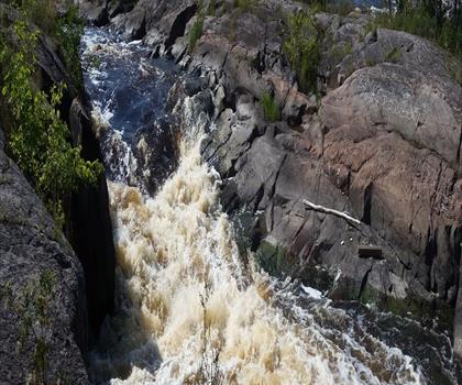
Whitemouth Falls Provincial Park
Eastern Region
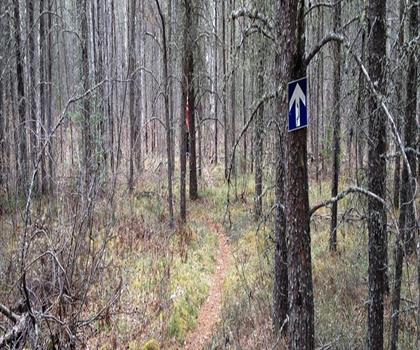
Mantario Trail
Eastern Region
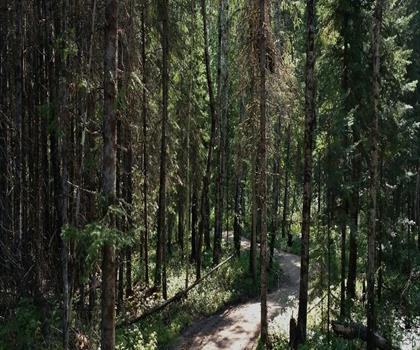
Falcon Trails Resort
Eastern Region
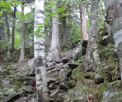
Caddy lake
Eastern Region
Hiking near Winnipeg
17 trails to explore ~115 km away
We work hard to provide the most up-to-date and error-free data possible. If something seems incorrect, let us know! Your contribution helps the whole community.
Hikers' opinions
Be the first to review!
No hiker has shared their experience yet. Share your impressions and help other hikers!