
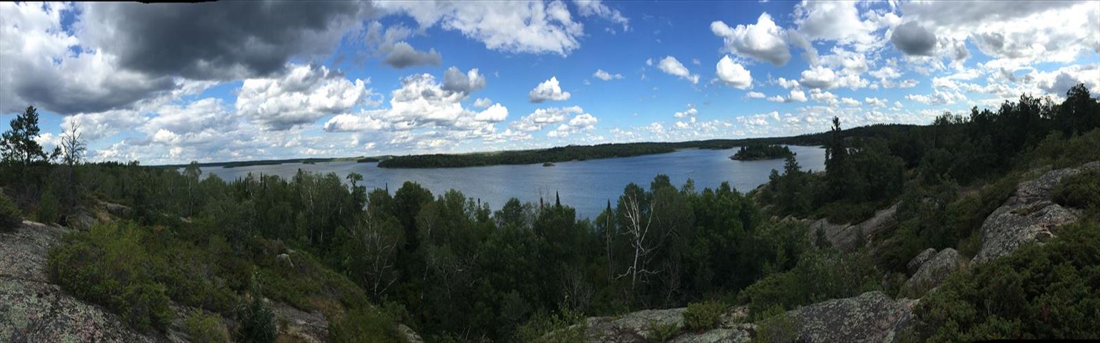

Ready to explore Big Whiteshell Lake? Here's everything you need to know before you go!
Discover the trail
Trail description
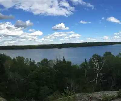
Big Whiteshell Lake sits at the heart of Whiteshell Provincial Park, one of Manitoba's most beloved outdoor destinations and an easy drive east from Winnipeg. The lake itself is the centerpiece of a landscape shaped by the Canadian Shield — ancient granite, boreal forest, and a web of interconnected waterways that make this corner of Manitoba feel genuinely wild without being hard to reach.
The Trail
The hiking route around Big Whiteshell Lake covers 2.4 km with just 50 m of elevation gain, making it a comfortable outing for most people. Plan on about 45 minutes at a relaxed pace, though you'll likely want to stop more than once to take in the views. The difficulty is rated Easy, which makes it a solid choice for families with kids, casual hikers, or anyone looking for a scenic leg-stretch rather than a workout.
The terrain is classic Canadian Shield: exposed granite slabs, rocky shoreline, and sections of dense boreal forest. The trail is generally well-marked, but a few spots require a bit of attention as you follow rock cairns across open rock faces. Sturdy footwear is worth it here — the granite can get slippery when wet, and the uneven surfaces are easier to handle with proper ankle support than with trail runners or casual shoes.
What You'll See Along the Way
The shoreline is the main draw. Big Whiteshell Lake's water is remarkably clear — the granite basin and limited agricultural activity in the watershed keep it that way — and in the shallower bays you can often spot fish cruising just below the surface. The trail hugs the water closely enough that you get consistent lake views rather than just occasional glimpses through the trees.
The Whiteshell River Bridge is a highlight of the route. The historic bridge spans the Whiteshell River where it connects with the lake, and it's one of those spots where it's worth pausing rather than just crossing and moving on. The view from the bridge captures both the river corridor and the broader lake landscape in a way that's hard to get from the shoreline alone.
The forest along the trail is a mix of jack pine, white spruce, and the kind of low undergrowth that defines the boreal zone — blueberry bushes, wild roses, and patches of fireweed. The rocky outcrops break up the canopy regularly, giving you natural viewpoints without any real climbing involved.
Wildlife
Common loons are a constant presence on Big Whiteshell Lake, and their calls carry across the water in a way that's hard to forget. Osprey work the shallower sections of the lake, and if you're moving quietly along the shoreline in the early morning or evening, white-tailed deer are a regular sight near the water's edge. Beavers have built lodges in several of the quieter bays, and the wetland areas their dams create attract a steady variety of waterfowl. Pileated woodpeckers are around in the deeper forest sections — you'll often hear the drumming before you see them.
Beyond the Trail
The lake access points along the route make it easy to combine the hike with a paddle. Several spots along the shoreline work well for launching a canoe or kayak, and the lake is large enough that you can explore for hours without backtracking. Walleye and northern pike are both present in good numbers, and the rocky structure of the lake bottom creates the kind of varied habitat these species prefer. Many people treat the trail as the first part of a longer day that includes time on the water.
Camping is available in the area, ranging from developed sites with washrooms and fire pits to more basic backcountry-style spots that put you closer to the quieter sections of the park. The developed campgrounds work well as a base for exploring the broader Whiteshell Provincial Park trail network, since Big Whiteshell Lake sits within easy reach of other lakes and routes in the park.
Getting There and Planning Your Visit
Whiteshell Provincial Park is well-signed from the Trans-Canada Highway, and Big Whiteshell Lake is accessible within the park without requiring a long drive on unpaved roads. Check current trail and park conditions before heading out, particularly in spring when snowmelt can affect trail surfaces, and in fall when early storms occasionally close access roads ahead of schedule. Summer brings the most reliable conditions for both hiking and paddling, though it also means more company on the trail and at the campgrounds.
The Essential Hiking Checklist
Everything you need for your next hike. Bilingual, printable, 1 page.
Get your free hiking checklistRecommended gear for this trail
As an Amazon Associate I earn from qualifying purchases.


Ready to go?
Everything you need to know before you goStarting Point
The trails at the big whiteshell lake in Manitoba can be accessed from the Trans-Canada Highway. There is a parking lot and trailhead near the east end of the lake.
When?
How much?
As an Amazon Associate I earn from qualifying purchases.
Affiliate links — LGPO may earn a commission at no extra cost to you.
- Hiking shoes Essential
- → Salomon Elixir Tour Mid WP · 203.38 $
- Layered clothing Essential
- Rain jacket Essential
- Trekking poles
- → Black Diamond Trail Ergo Cork · 69.99 $
- Headlamp
- → Petzl Actik Core 625 · 103.95 $
FAQ - Frequently asked questions
Everything you need to knowSimilar hikes nearby
Discover other trails you might enjoy
Falcon Lake
Eastern Region
Pine Point Rapids
Eastern Region
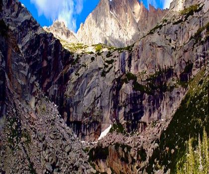
Black Lake
Eastern Region
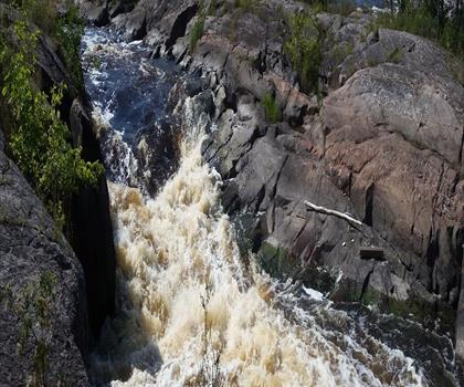
Whitemouth Falls Provincial Park
Eastern Region
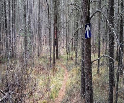
Mantario Trail
Eastern Region
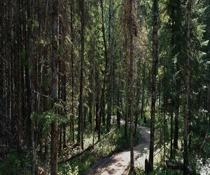
Falcon Trails Resort
Eastern Region
Hiking near Winnipeg
17 trails to explore ~128 km away
We work hard to provide the most up-to-date and error-free data possible. If something seems incorrect, let us know! Your contribution helps the whole community.
Hikers' opinions
Be the first to review!
No hiker has shared their experience yet. Share your impressions and help other hikers!