
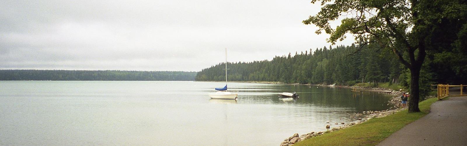

Ready to explore Riding Mountain National Park? Here's everything you need to know before you go!
Discover the trail
Trail description
Riding Mountain National Park covers 3,000 square kilometers of Manitoba's parkland plateau and stands as one of Canada's most ecologically diverse hiking destinations. Designated as a UNESCO Biosphere Reserve, the park rises roughly 450 meters above the surrounding prairie like a forested island, sitting at the intersection of three distinct ecosystems: boreal forest, eastern deciduous woodland, and fescue grassland. That convergence is what makes this place genuinely special — within a single day of hiking, you can move through landscapes that feel nothing like each other.
The elevated plateau creates its own climate and character. Dense stands of aspen and birch give way to open meadows thick with wildflowers, while hidden valleys shelter clear lakes ringed by spruce and fir. The variety keeps the hiking interesting no matter how many times you come back.
Trail Network
The park holds over 400 kilometers of trails, ranging from wheelchair-accessible boardwalks near the main facilities to multi-day backcountry routes that require overnight camping permits. Day hiking options are well-marked and maintained, while the backcountry areas offer genuine solitude for those willing to earn it. With 370 kilometers of trail distance available across the network and an elevation gain of around 350 meters on more challenging routes, there's enough variety here to keep hikers busy across multiple visits.
The Boreal Trail is one of the best introductions to the park's northern forest character. It winds through white spruce, balsam fir, and paper birch, where the canopy keeps things cool even in midsummer. The elevation changes are gentle enough to be accessible to most hikers, but the forest itself — that layered smell of pine, moss, and damp earth — makes it feel like a real wilderness experience. Small stream crossings add a bit of texture to the walk.
The Grey Owl Trail combines natural beauty with one of Manitoba's more compelling historical stories. It follows the route once traveled by Archibald Belaney, the conservationist who lived under the name Grey Owl and spent time at a cabin on Ajawaan Lake during the 1930s. The trail moves through mixed forest and along lakeshores, with moderate terrain throughout. The destination — Grey Owl's restored cabin on a quiet bay — is worth every step. It's the kind of place that rewards a slow pace and some time to sit with the surroundings. Plan for a full day if you want to do it properly.
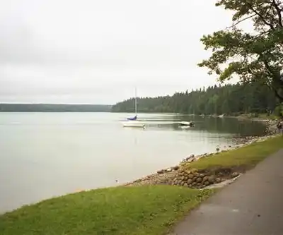
The Clear Lake Trail circles the park's largest and most popular lake, staying relatively flat while passing through different forest types and open stretches. It connects beaches and picnic areas, which makes it easy to break the hike into sections — useful if you're bringing kids or just want to mix hiking with a swim. The lake's clear water is a genuine draw on warm days, and the trail's accessibility makes it a reliable option for a wide range of hikers.
Wildlife
Riding Mountain supports one of Manitoba's largest elk herds. Early mornings and evenings in the meadows are your best bet for sightings. Black bears are present throughout the forested areas, so proper food storage is non-negotiable for anyone camping overnight. The park also maintains a small bison herd in a dedicated enclosure — a rare chance to see these animals up close without venturing into open prairie.
Over 260 bird species have been recorded in the park. Common loons call across the lakes, great gray owls hunt in forest clearings, western meadowlarks work the grassland edges, and pileated woodpeckers hammer through the deep forest. Spring and fall migrations push those numbers higher and make those seasons particularly worthwhile for birders.
The park's lakes and wetlands add another layer to the experience. Beyond Clear Lake, smaller bodies of water like Deep Lake and Katherine Lake offer quieter settings where moose feed on aquatic vegetation and beavers are a regular sight. These water features also shift the surrounding plant communities, which keeps longer hikes botanically interesting.
Seasons and Conditions
Summer is peak season, with wildflower meadows at their best in July and August and long daylight hours that allow for extended days on trail. The tradeoff is bugs — mosquitoes and blackflies can be heavy in wooded areas through June and into early July. Come prepared.
Fall is arguably the best time to hike here. The mixed forests produce a strong autumn display: aspen turns golden yellow, birch adds bright accents, and scattered maples bring in red and orange. September and early October offer comfortable temperatures, minimal insects, and excellent wildlife viewing as animals move more actively before winter.
Winter converts much of the trail network into groomed cross-country ski routes, with snowshoeing available on others. Reliable snow conditions typically run from December through March, with February offering the most consistent coverage.
Spring hiking is possible but muddy — snowmelt keeps trails soft well into May, and some higher-elevation routes may stay wet into early June. The upside is strong wildlife activity and the return of migratory birds. Most trails are fully accessible by late May.
The park operates year-round, with full visitor services — including campgrounds, visitor centers, and interpretive programs — running through the summer season. Winter services shift focus to the ski and snowshoe network. Backcountry camping may have seasonal restrictions depending on wildlife activity and trail conditions, so it's worth checking with park staff before heading out.
The Essential Hiking Checklist
Everything you need for your next hike. Bilingual, printable, 1 page.
Get your free hiking checklistRecommended gear for this trail
As an Amazon Associate I earn from qualifying purchases.


Ready to go?
Everything you need to know before you goStarting Point
The easiest way to get to the start of the trails at riding mountain national park is to drive to the park and then take the park shuttle to the trailhead.
When?
How much?
As an Amazon Associate I earn from qualifying purchases.
Affiliate links — LGPO may earn a commission at no extra cost to you.
- Hiking shoes Essential
- → Salomon Elixir Tour Mid WP · 203.38 $
- Layered clothing Essential
- Rain jacket Essential
- Trekking poles
- → Black Diamond Trail Ergo Cork · 69.99 $
- Headlamp
- → Petzl Actik Core 625 · 103.95 $
FAQ - Frequently asked questions
Everything you need to knowSimilar hikes nearby
Discover other trails you might enjoy
Childs Lake
Parkland Region
Jackfish Lake
Parkland Region
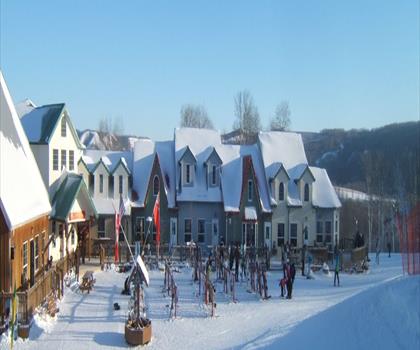
Asessippi Provincial Park
Parkland Region
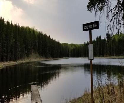
Duck Mountain Provincial Park
Parkland Region
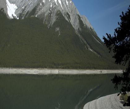
Spray Lake
Parkland Region
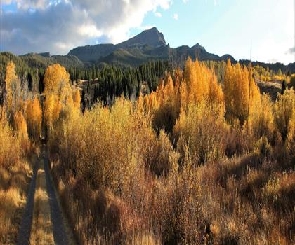
Baldy Mountain
Parkland Region
Hiking near Brandon
5 trails to explore ~91 km away
We work hard to provide the most up-to-date and error-free data possible. If something seems incorrect, let us know! Your contribution helps the whole community.
Hikers' opinions
Be the first to review!
No hiker has shared their experience yet. Share your impressions and help other hikers!