
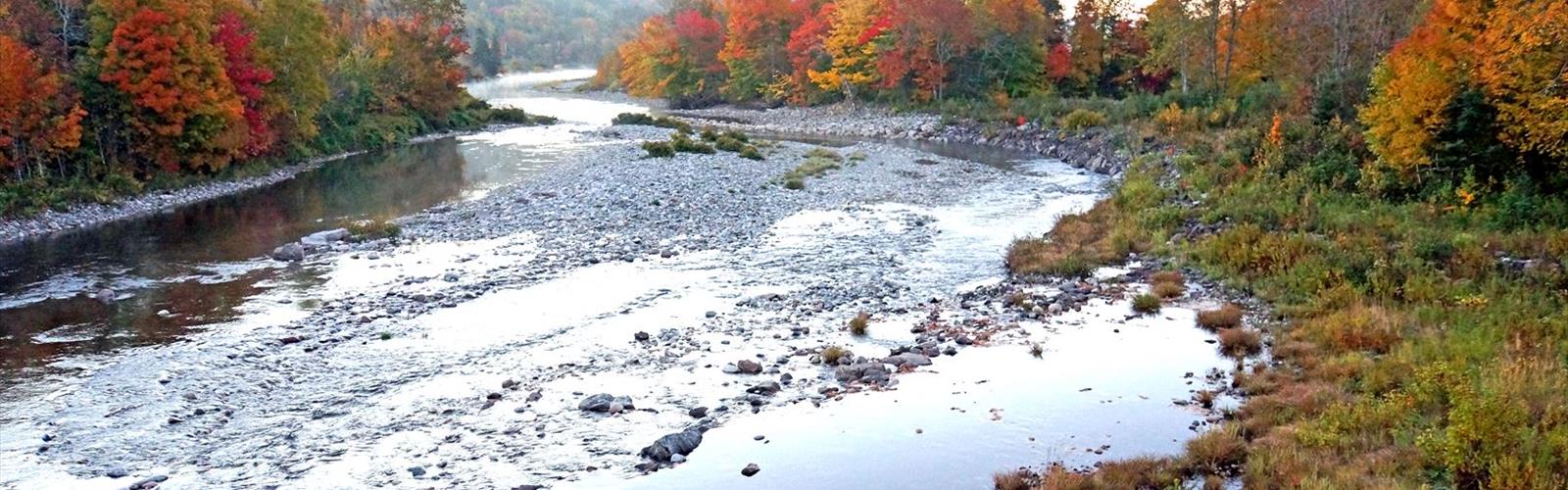

Ready to explore Cabot Trail Rd? Here's everything you need to know before you go!
Discover the trail
Trail description
The Cabot Trail is one of Canada's most celebrated scenic routes, looping 298 kilometers around the northern tip of Cape Breton Island in Nova Scotia. For hikers, it's far more than a drive — it's a corridor connecting some of the finest trail networks in Atlantic Canada, where highland plateau, dense Acadian forest, and rugged Atlantic coastline all come together within a surprisingly compact area.
The route passes through Cape Breton Highlands National Park, which anchors the experience and contains the majority of the region's most rewarding trails. Whether you're after a gentle coastal walk or a demanding mountain climb, the variety here is genuinely hard to match anywhere else in the Maritimes.
Signature Trails Along the Route
The Skyline Trail is the trail most people associate with the Cabot Trail region, and for good reason. It follows an old road bed along dramatic clifftops that drop directly into the Gulf of St. Lawrence, offering some of the most photographed views in Atlantic Canada. The footing is comfortable throughout, and the western exposure makes it an ideal evening hike — sunsets here can be genuinely spectacular, with color reflecting off the water far below. Moose are frequently spotted grazing in the highland meadows, and bald eagles ride the thermal currents that rise along the cliff faces. The open terrain gives you excellent sightlines for wildlife without having to bushwhack.
For something more demanding, the Franey Trail offers a completely different character. The ascent cuts through dense mixed forest where the canopy closes overhead, creating a quiet, enclosed atmosphere even on bright days. Elevation builds steadily as the trail climbs toward the plateau, and the forest transitions noticeably as you gain height — coastal species giving way to the hardier highland varieties that can handle the exposure and harsher conditions above treeline.
The reward at the top is a viewpoint over the Clyburn Brook canyon, where the valley floor drops away below and the layered canyon walls tell a clear geological story. On a clear day, the view extends across the highland plateau and out toward the Atlantic. It's the kind of panorama that makes the climb feel entirely worth it.
Terrain and Ecosystems
What makes hiking in this region genuinely interesting is how quickly the landscape changes as you move through it. The coastal zones support plants adapted to constant salt spray and wind — crowberry, rhodora, and various sedges that add color through the growing season. Move inland and gain elevation, and you're quickly into boreal forest: spruce, fir, and birch dominating the canopy in the way they do across much of Atlantic Canada.
The highland plateau is something else entirely. Windswept and open, with stunted trees and alpine vegetation, it feels closer to northern Quebec than to the rest of Nova Scotia. It's a genuinely wild-feeling landscape, and the fact that it's accessible from the main road without a multi-day expedition makes it all the more remarkable.
The geology here is ancient. The highlands are among the oldest rock formations in North America, shaped by repeated glaciation into the rounded peaks visible today. Along the coast, sea caves, natural arches, and dramatic headlands show the ongoing work of the Atlantic on this shoreline.
Base Communities and Services
Baddeck, situated on the shores of Bras d'Or Lake, is a natural base for exploring the southern portion of the trail network. It offers a full range of hiker services — gear, food, accommodations — along with historical interest tied to Alexander Graham Bell, who spent much of his later life in the area.
Ingonish sits closer to the heart of the national park and provides direct access to some of the most dramatic coastal hiking in the region. The community is split between Ingonish Beach and Ingonish Centre, both with accommodations and services within easy reach of major trailheads. The working fishing heritage of the area is still visible from many of the coastal trails, with lobster boats often moving through the waters below.
These communities aren't just logistical stops — they're part of the context for the landscape itself. Many of the trails follow old logging roads or traditional routes used by generations of local residents, and that history adds a layer to the experience that purely wilderness hiking doesn't always offer.
Planning Your Time
The trail network is well-developed enough that day hikers can base themselves in one community and explore different areas each day without repeating terrain. For those staying longer, backcountry camping is available within Cape Breton Highlands National Park, and the proximity of services along the route means you don't need to carry full expedition gear to access genuinely remote-feeling terrain.
With an estimated 6 to 8 hours to cover the full loop by road, most hikers treat the Cabot Trail as a multi-day destination rather than a single outing — spending time at individual trailheads rather than trying to cover everything at once. That approach lets you actually engage with the landscape rather than just passing through it.
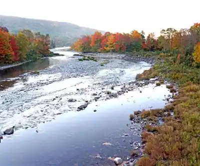
Fall is particularly worth noting as a hiking season: the foliage across the mixed forest is exceptional, crowds thin out compared to summer, and the cooler temperatures make longer climbs more comfortable, though weather along the coast can shift quickly and it's worth being prepared for that.
The Essential Hiking Checklist
Everything you need for your next hike. Bilingual, printable, 1 page.
Get your free hiking checklistRecommended gear for this trail
As an Amazon Associate I earn from qualifying purchases.


Ready to go?
Everything you need to know before you goStarting Point
To access the hiking trails, you can start at several trailheads along cabot trail rd. Here are some options:
Trailhead near Ingonish Beach: You can park at the Ingonish Beach parking lot, which is accessible via the cabot trail rd.
Trailhead in Cheticamp: There is a parking area available in Cheticamp, which serves as a starting point for various trails.
Trailhead at Pleasant Bay: Another option is to begin your hike from the parking lot located in Pleasant Bay.
Each of these locations provides convenient access to different sections of the trails along cabot trail rd.
When?
How much?
As an Amazon Associate I earn from qualifying purchases.
Affiliate links — LGPO may earn a commission at no extra cost to you.
- Hiking shoes Essential
- → Salomon Elixir Tour Mid WP · 203.38 $
- Layered clothing Essential
- Rain jacket Essential
- Trekking poles
- → Black Diamond Trail Ergo Cork · 69.99 $
- Headlamp
- → Petzl Actik Core 625 · 103.95 $
FAQ - Frequently asked questions
Everything you need to knowSimilar hikes nearby
Discover other trails you might enjoy
Sugarloaf Trailhead (Wilkie Sugar Loaf trail)
Cape Breton Island
Humes River
Cape Breton Island

Petersfield Provincial Park
Cape Breton Island
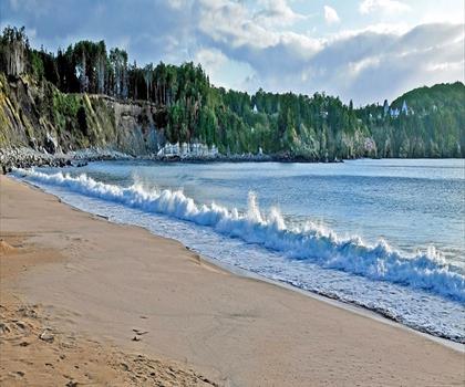
Franey Trailhead
Cape Breton Island
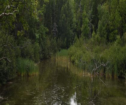
Acadian Trailhead
Cape Breton Island

The Peak Tenerife Mountain
Cape Breton Island
Hiking near Sydney
22 trails to explore ~38 km away
We work hard to provide the most up-to-date and error-free data possible. If something seems incorrect, let us know! Your contribution helps the whole community.
Hikers' opinions
Be the first to review!
No hiker has shared their experience yet. Share your impressions and help other hikers!