
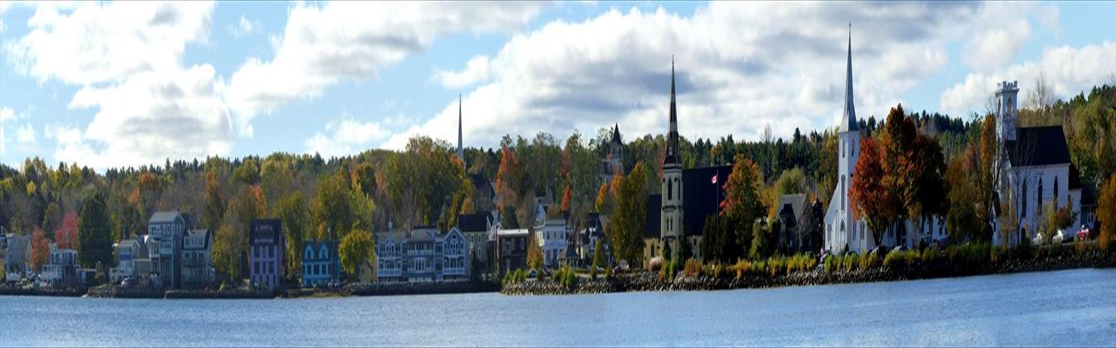

Ready to explore Lighthouse Rte? Here's everything you need to know before you go!
Discover the trail
Trail description
The Lighthouse Route along Nova Scotia's Glooscap Trail is one of the province's most rewarding coastal hikes, combining dramatic Bay of Fundy scenery with a rich layering of Mi'kmaq heritage and maritime history. With 200 meters of elevation gain spread across an estimated two-hour outing, the route is rated easy and accessible to most hikers, yet it delivers the kind of views that stay with you long after you've driven home.
What makes this route genuinely stand out is the variety packed into a single outing. You move between dense Acadian forest and wide-open clifftop exposure, between sheltered woodland quiet and the full, unfiltered force of Bay of Fundy winds. That contrast keeps the experience interesting from start to finish.
Terrain and Trail Character
The route begins in classic Maritime coastal forest — spruce and fir overhead, undergrowth thick with seasonal wildflowers, the canopy doing a solid job of blocking the wind. These wooded sections are where you're most likely to spot white-tailed deer, red squirrels, and the songbirds that nest throughout this coastal forest. It's a gentle, pleasant warm-up before the landscape opens up entirely.
The transition from forest to clifftop happens fast. One moment you're in the trees, and then suddenly you're standing on an exposed headland with nothing between you and the Bay of Fundy. The elevation gain of 200 meters builds gradually as the trail climbs from sea-level beaches up to the lighthouse vantage points, so the ascent never feels punishing — just steady and purposeful.
The clifftop sections are where the Bay of Fundy makes its full impression. The tidal range here is among the most extreme on the planet, with water levels shifting by up to 50 feet between high and low tide. Depending on when you hike, you might look down at a wide expanse of exposed red mudflat or at churning water crashing against the base of the cliffs. Either way, it's hard to look away.
Cape d'Or Lighthouse
Cape d'Or Lighthouse is the clear highlight of the route. It sits on cliffs that drop sharply into the water below, and the approach builds anticipation well — the views expand gradually as you follow the clifftop path, until you round the final bend and the lighthouse appears in full. From that vantage point, the panorama stretches across the Minas Basin toward the distant shores of New Brunswick.
The lighthouse, built in 1965 to replace an earlier structure, still serves an active navigational function. The surrounding headland is one of the better photography spots on the entire Glooscap Trail, especially during the golden hours when the light hits the red cliffs and reflects off the water. On weekends and through peak summer season, expect company — this viewpoint draws both hikers and photographers, and for good reason.
Mi'kmaq Heritage and Maritime History
The Glooscap Trail takes its name from a central figure in Mi'kmaq creation stories — a powerful being credited with shaping the Maritime landscape itself. According to these traditions, the extreme tides of the Bay of Fundy, the dramatic cliffs, and the distinctive rock formations along this coast all carry meaning rooted in stories that predate European contact by thousands of years. Interpretive signs along the route offer some context, but spending a bit of time researching these stories before your hike adds a real dimension to what you're seeing.
The lighthouses represent a more recent chapter. Built during the age of sail when the Bay of Fundy was a critical shipping corridor, each one has its own construction history and its own record of maritime emergencies in these notoriously difficult waters. The combination of these two historical layers — Indigenous heritage and colonial maritime history — gives the route a depth that goes well beyond the scenery.
Wildlife and Seasonal Conditions
Spring brings wildflower blooms through the forest sections, with trilliums, violets, and wild lupins appearing as the season progresses. Fall is arguably the most visually striking time to hike here — the mixed forest turns, and the warm colors of the deciduous trees set against the deep blue of the bay make for exceptional scenery. Summer offers the most stable weather but also the most foot traffic at popular viewpoints.
The coastal position means weather can shift quickly regardless of season. The exposed clifftop sections offer no shelter from wind or rain, so checking the forecast before you head out is worth the two minutes it takes. Winter hiking is possible, but ice on the clifftop sections can create genuinely dangerous conditions, and the wind exposure amplifies the cold significantly.
During spring and fall migrations, the coastal location draws a variety of seabird species. Harbor seals are occasionally spotted in the waters below the cliffs. Black bears are present in the surrounding forest, though encounters on the well-traveled lighthouse sections are uncommon.
Planning Your Visit
The modular structure of the Lighthouse Route gives you flexibility. You can focus on a single lighthouse as a shorter excursion or connect multiple sections for a longer day. Multiple access points mean you can choose your starting trailhead based on which sections or viewpoints you want to prioritize.
After the hike, the surrounding communities are worth exploring. Local restaurants along the Glooscap Trail region serve fresh seafood — lobster, scallops, and other Bay of Fundy specialties — and several accommodations in the area cater specifically to hikers looking for a comfortable base for multi-day exploration of the coast.
The Essential Hiking Checklist
Everything you need for your next hike. Bilingual, printable, 1 page.
Get your free hiking checklistRecommended gear for this trail
As an Amazon Associate I earn from qualifying purchases.


Ready to go?
Everything you need to know before you goStarting Point
The Lighthouse Route is located in the province of Nova Scotia. To get to the start of the trails, you will need to drive to Peggy's Cove, which is about an hour and a half from Halifax.
When?
How much?
As an Amazon Associate I earn from qualifying purchases.
Affiliate links — LGPO may earn a commission at no extra cost to you.
- Hiking shoes Essential
- → Salomon Elixir Tour Mid WP · 203.38 $
- Layered clothing Essential
- Rain jacket Essential
- Trekking poles
- → Black Diamond Trail Ergo Cork · 69.99 $
- Headlamp
- → Petzl Actik Core 625 · 103.95 $
FAQ - Frequently asked questions
Everything you need to knowSimilar hikes nearby
Discover other trails you might enjoy

South Lake
South Shore
Western Lake
South Shore
Polly Cove Hiking Trail
South Shore
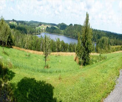
Pine Grove Outdoor Play Park
South Shore
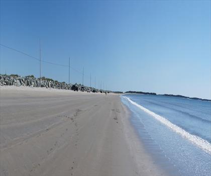
Rissers Beach Provincial Park
South Shore
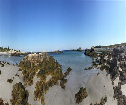
Kejimkujik National Park Seaside
South Shore
Hiking near Halifax
71 trails to explore ~61 km away
We work hard to provide the most up-to-date and error-free data possible. If something seems incorrect, let us know! Your contribution helps the whole community.
Hikers' opinions
Be the first to review!
No hiker has shared their experience yet. Share your impressions and help other hikers!